|


|
|
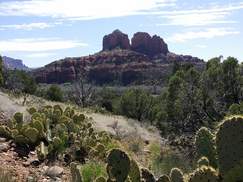
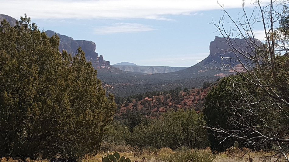
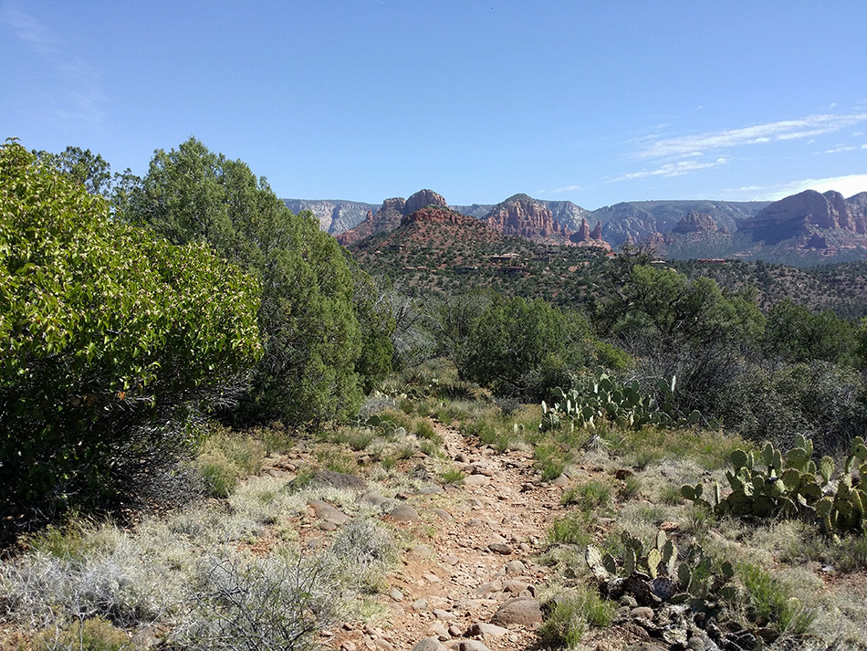
This website is not designed to provide
directions or navigation of the trails but solely intended to give you an idea
what you may see and experience on the hikes.
|
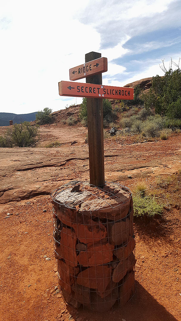
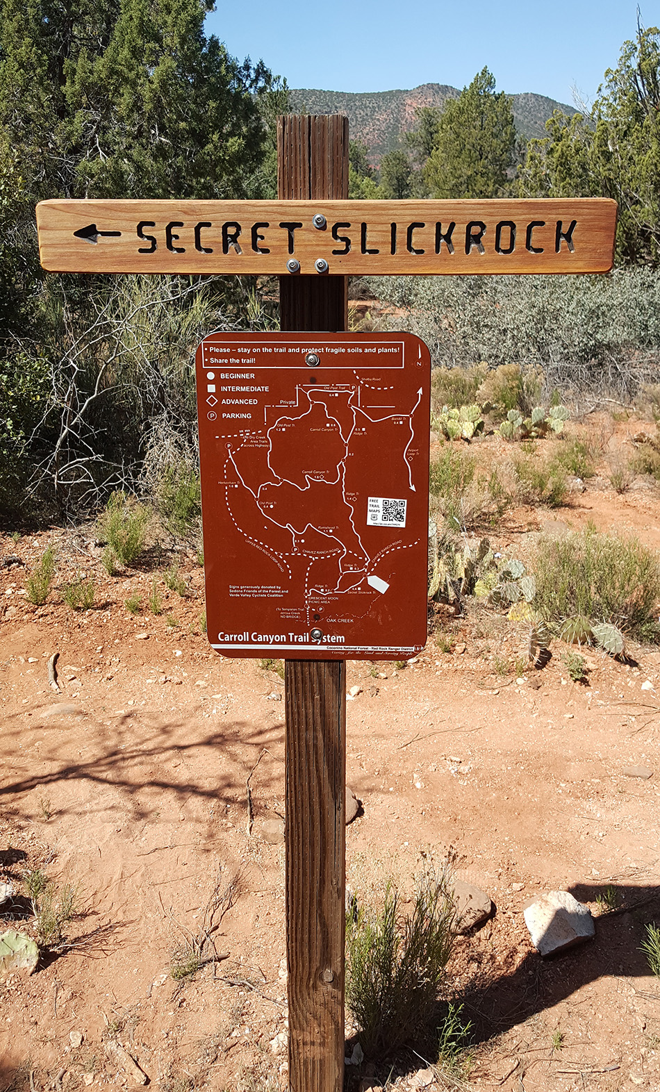
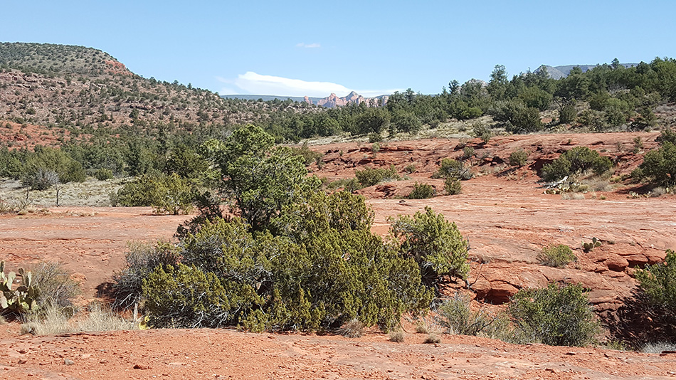
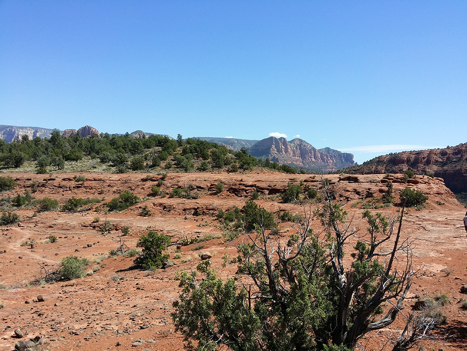
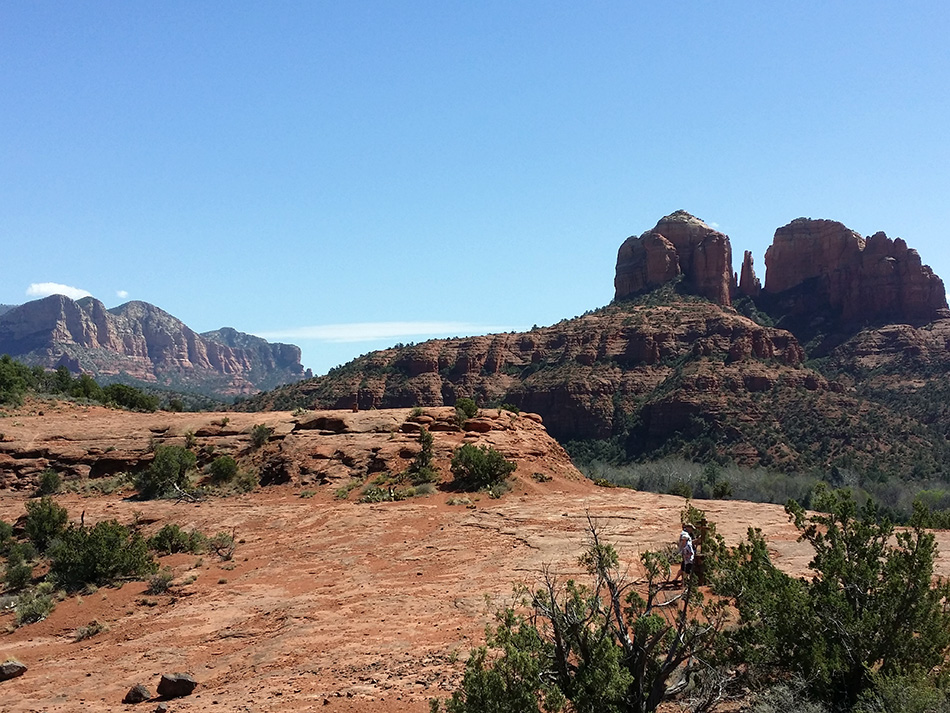
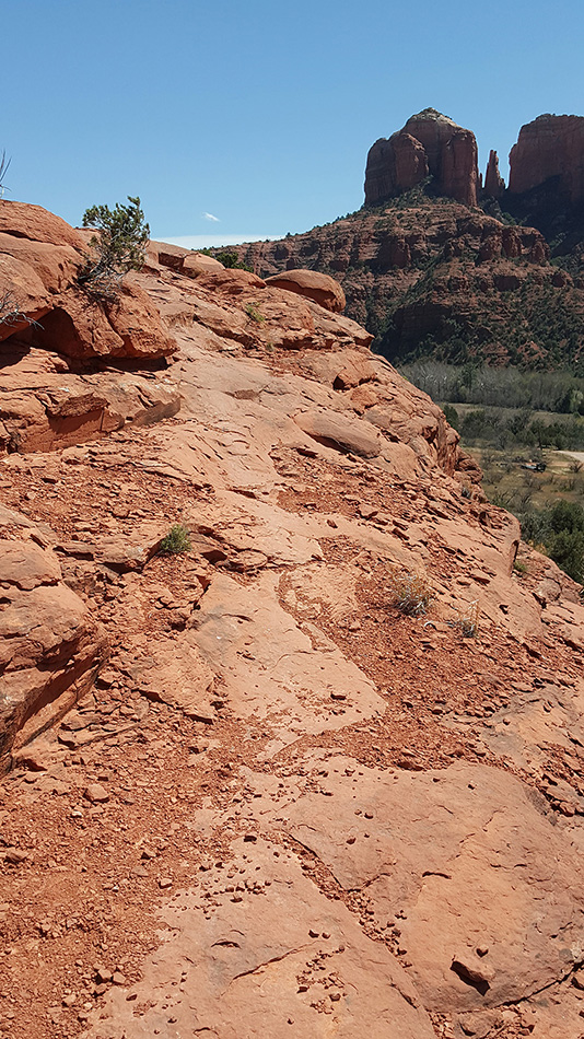
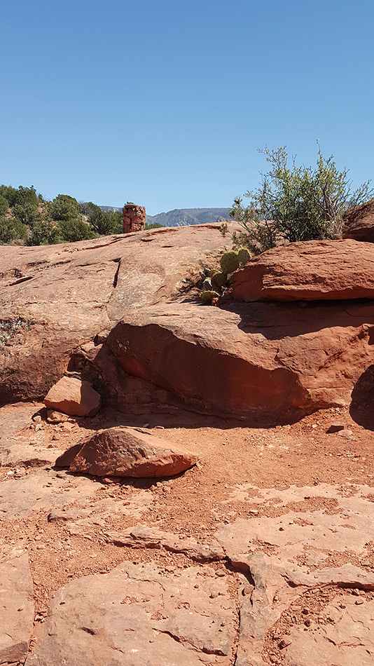
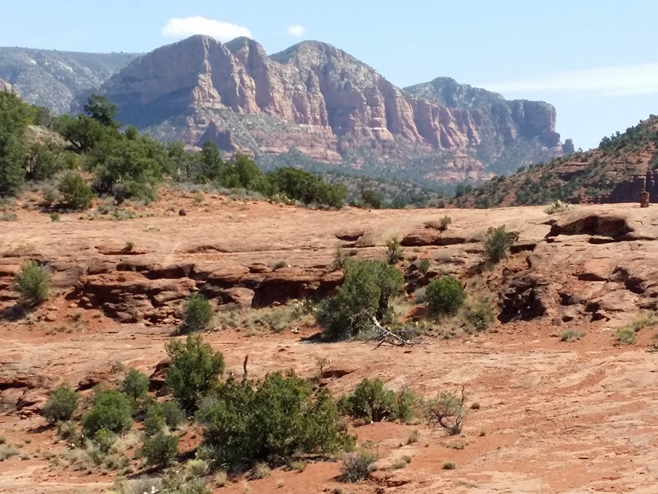
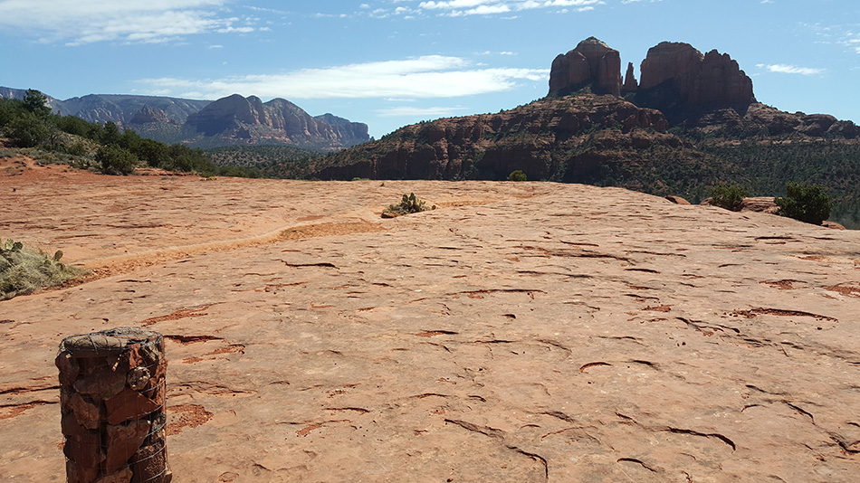
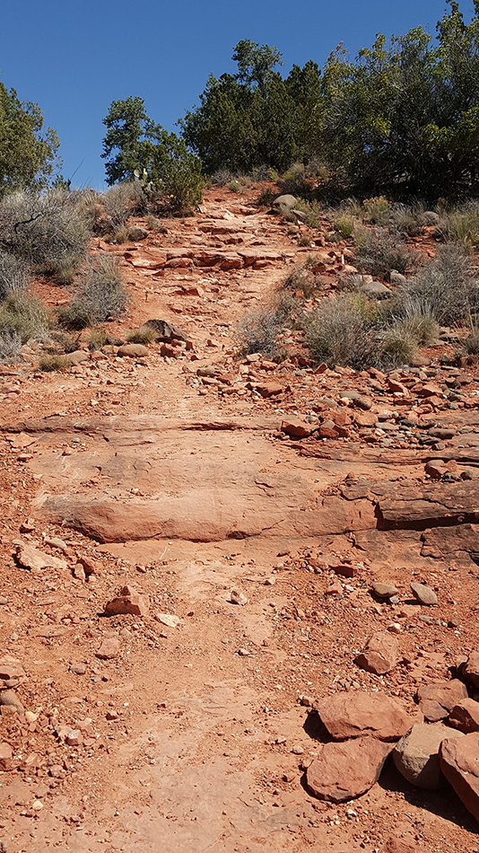
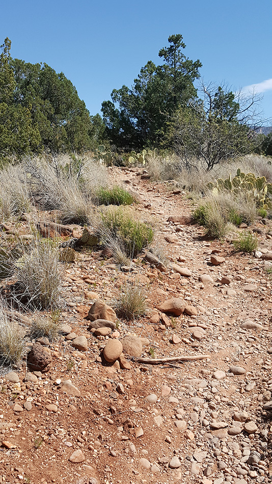
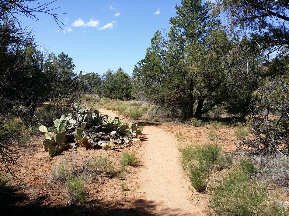
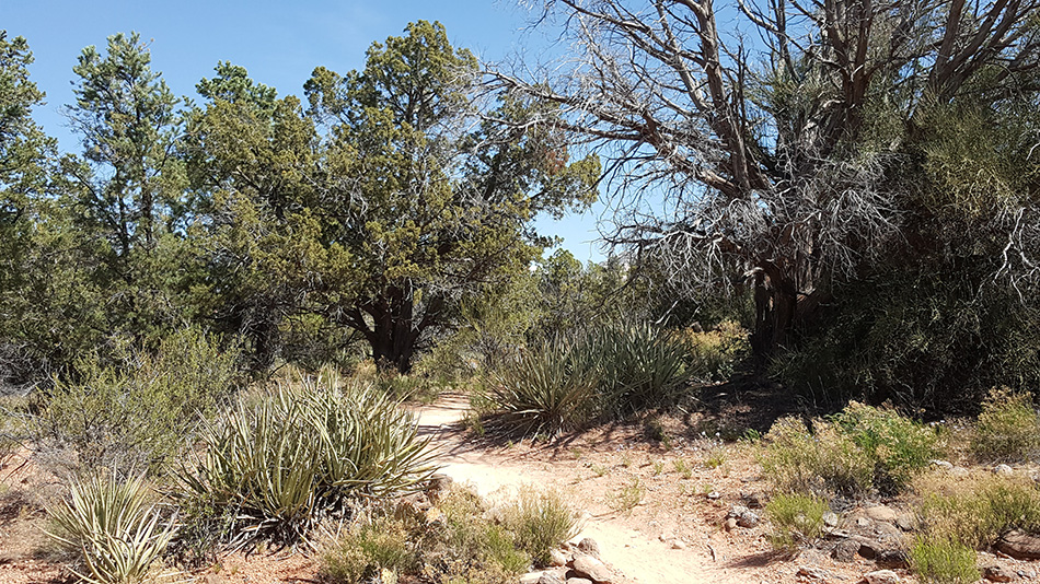
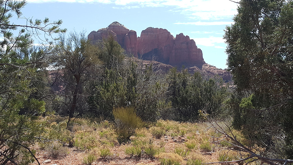
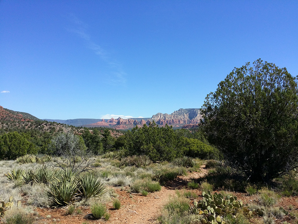
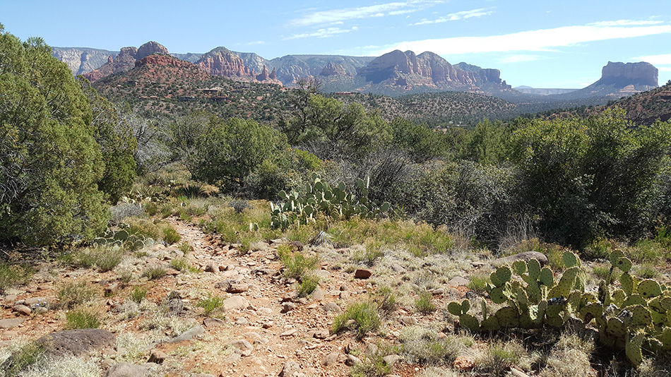
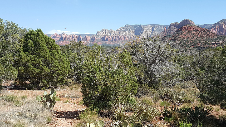
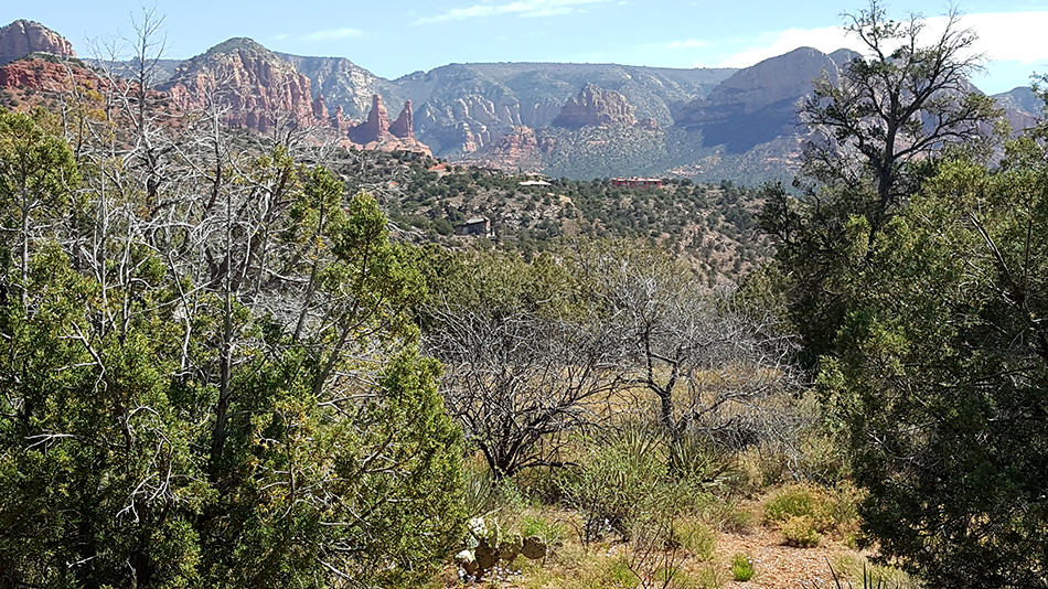
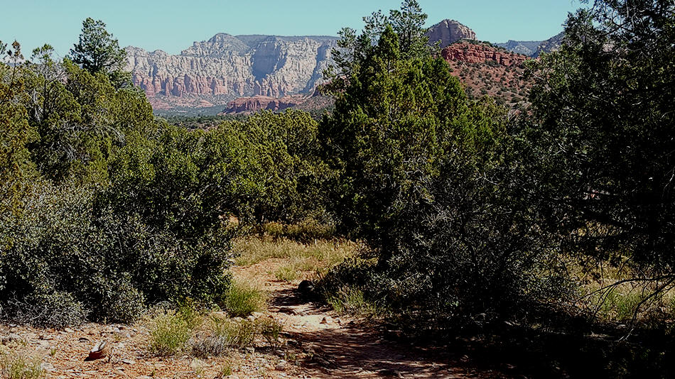
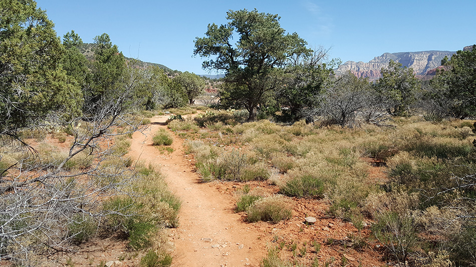
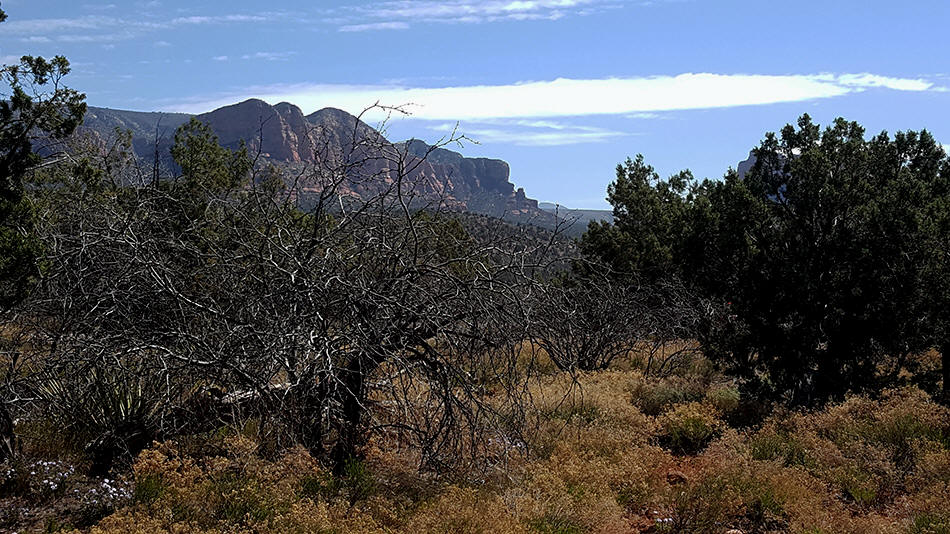
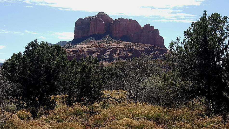
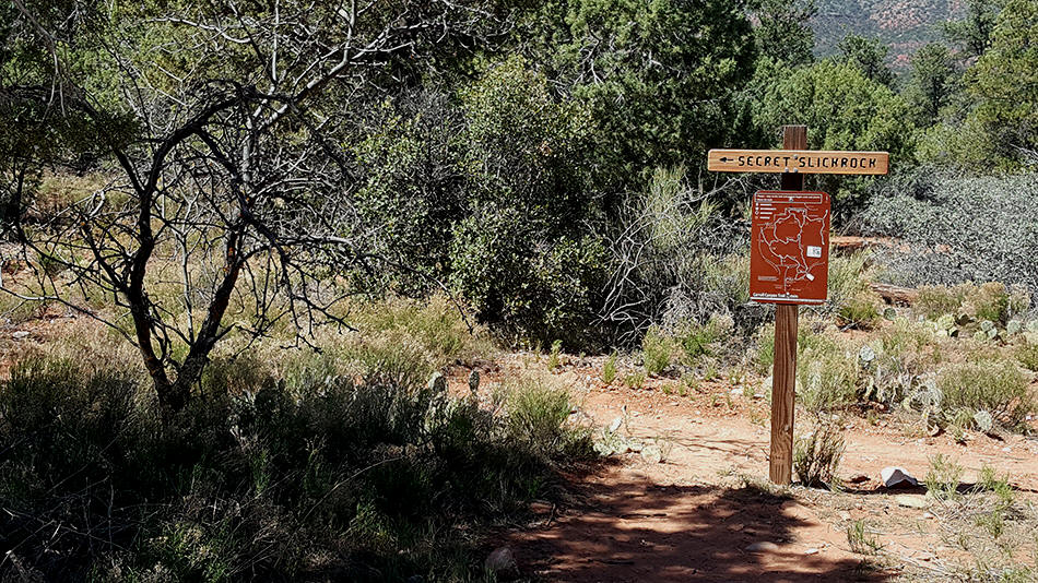
Secret Slickrock Trail
|
|
 |
|
|
|
 |
 UPC To Order USFS Maps |
|
|
|
 |
|
|
 |
|
|
 |
|
|
|
|
|
 |
|
|
|
|
|
 |
|
|
 |
|
|
 |
|
|
 |
|
|
 |
|
|
 |
|
|
 |
|
|
 |
|
|
 |
|
|
 |
|
|
 |
|
|
 |
|
|
 |
|
|
 |
|
|
 |
|
|
 |
|
|
 |
|
|
 |
|
|
 |
|
|
 |
|
|
 |
|
|
 |
|
|
 |
|
|
 |
|
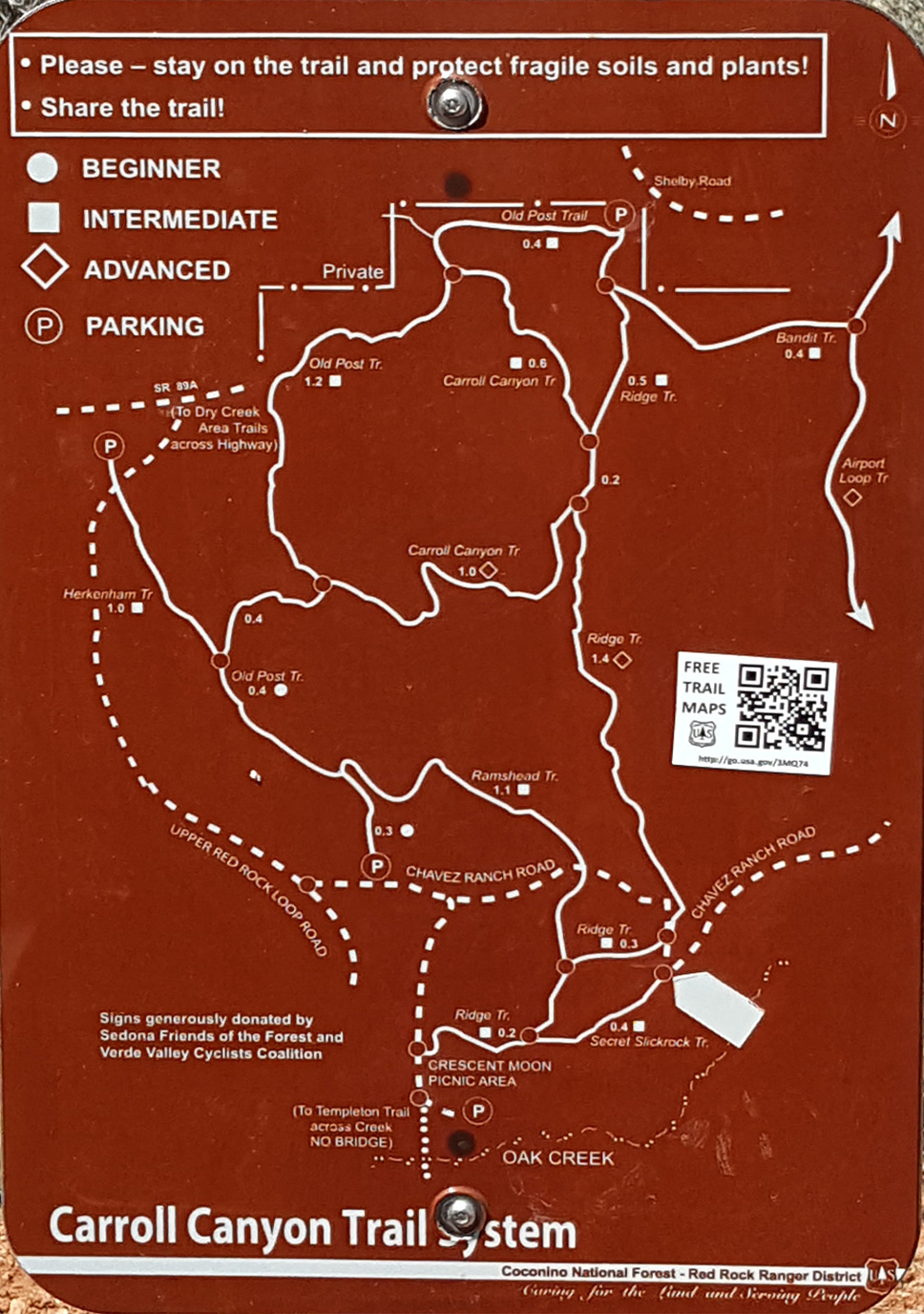
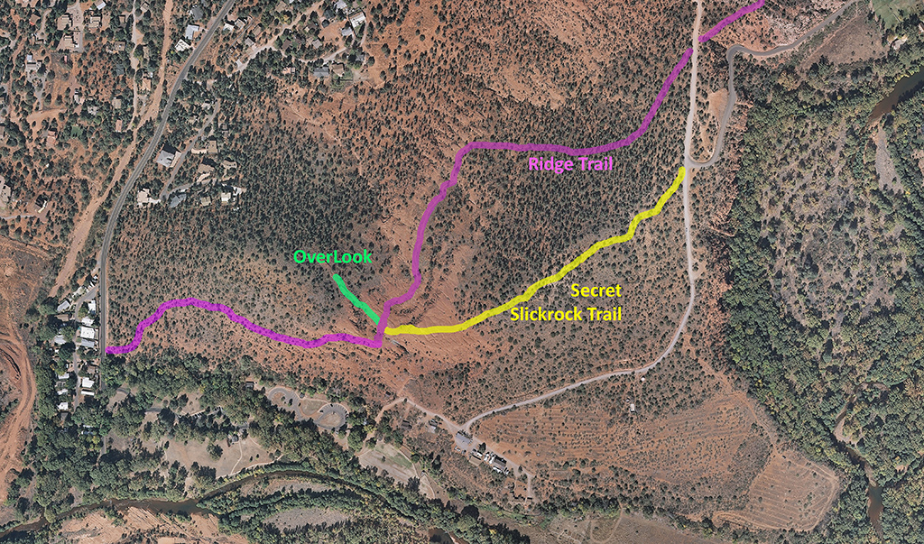
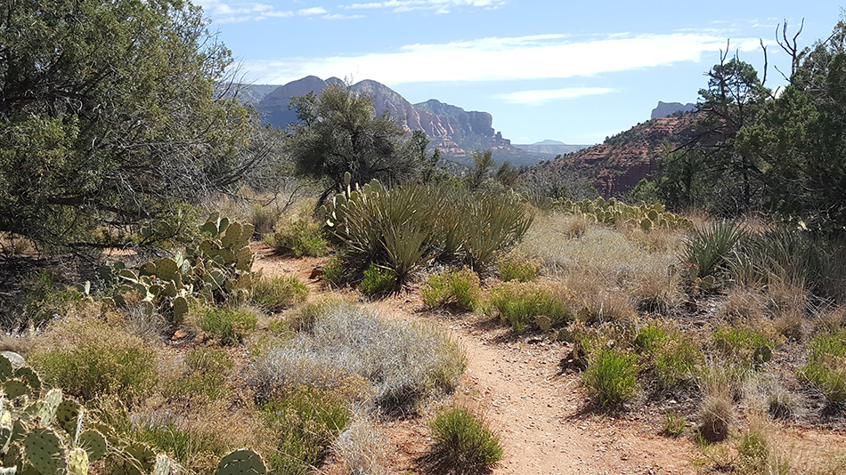
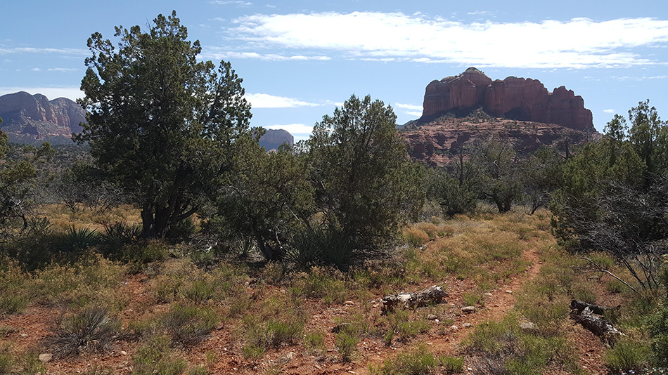
Chavez Ranch Road can then be followed North (to the left) to the
Junctioni with Ridge Trial. Ridge Trail can be taken (to the right
or Northeast) to the Airport Loop or back (to the left or to the
Southwest) to Crescent Moon Picnic Area. Continuation of Hike: Ridge Trail to Airport Loop
Continuation of Hike:
Ridge
Trail to Crescent Moon Picnic Area Other Links |
|
|
|
|