|
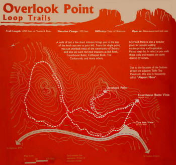
Airport Overlook Point
|
|
Airport overlook point is
an easy to moderate stepping trail which has been upgraded in March
2015 with true steps and a guide ropes.. The trails are also
lined with rocks with conservation areas roped off.
Total ascent is about 60 feet. By taking your time and enjoying the
view most hikers can reach the top of the overlook.
Click on Pictures to Enlarge
|
 |
|
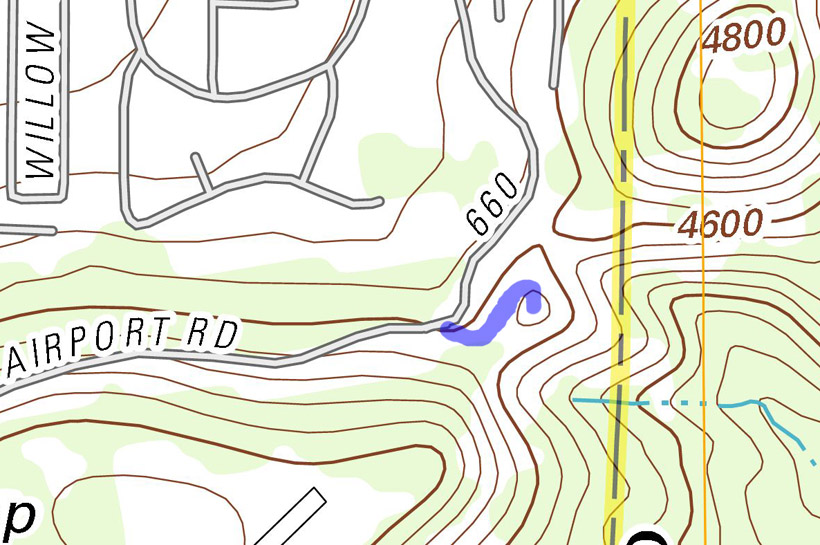
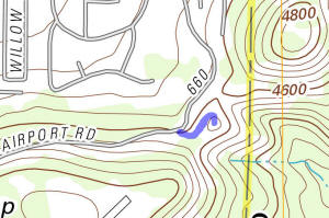
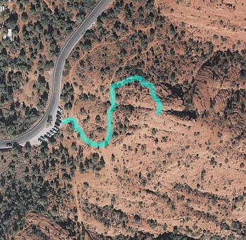
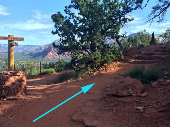
Aerial View of Trail to Airport Overlook Point
|
 |
|
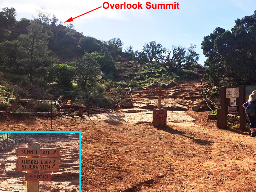
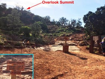
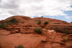
Airport Overlook Summit as seen from the parking
lot.
|
|
|
|
|
|
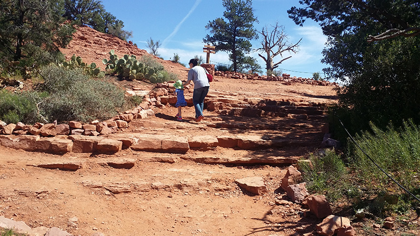
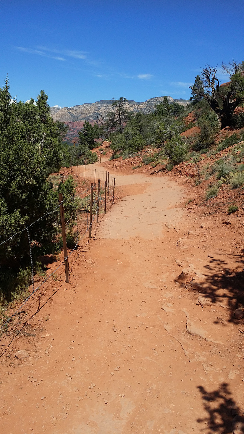
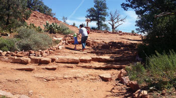
Two hikers ascending up the initial incline to the
access trial leading to Airport Lookout Summit Trail. Notice
that the walking areas are now lined by rocks, fences and cables
that protect the fragile environmental areas.
|
 |
|
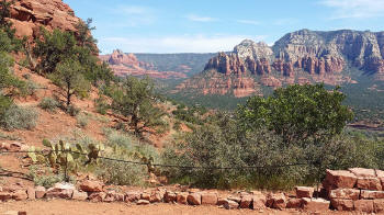
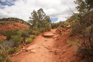
View to the north near the beginning of the access
trail. Note that protected areas are cordoned off and lined by
rocks or a small rock wall..
|
 |
|
View to the south near the beginning of the access
trail. Note that protected areas are cordoned off and lined by
rocks or a small rock wall.
|
 |
|
Old Trailhead sign for the beginning to the trail
to Overlook Point. The trail straight ahead or to the
left leads to the trailhead of
Coconino Loop
Trail.
(Prior to March 2015)
|
 |
|
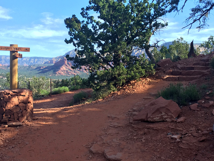
New trailhead sign for the beginning to the
trail to Overlook Point Summit. The trail straight ahead or to the left
leads to the trailhead of
Coconino Loop Trail.
Note that the trail is now cordoned off and there are also steps,
instead of loose rocks, leading up the trail.
|
 |
|
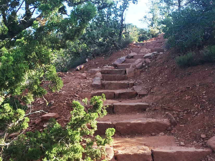
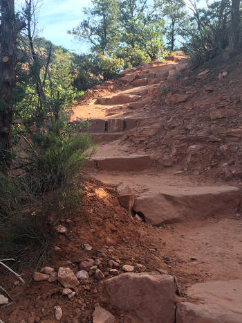
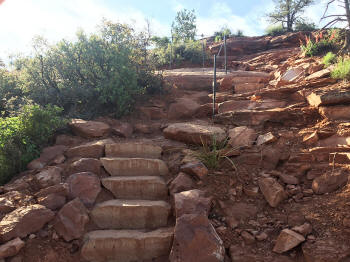
The first part of the trail
leading to Overlook Point Summit consisted of easy to used man made steps.
|
 |
|
Prior to March 2015, the first part of the trail
leading to Overlook Point Summit had very rough rock steps.
|
 |
|
Well defined easy to climb rock
steps at the beginning of the trail.
|
 |
|
Prior to March 2015, rough rock steps at the
beginning of the trail.
|
 |
|
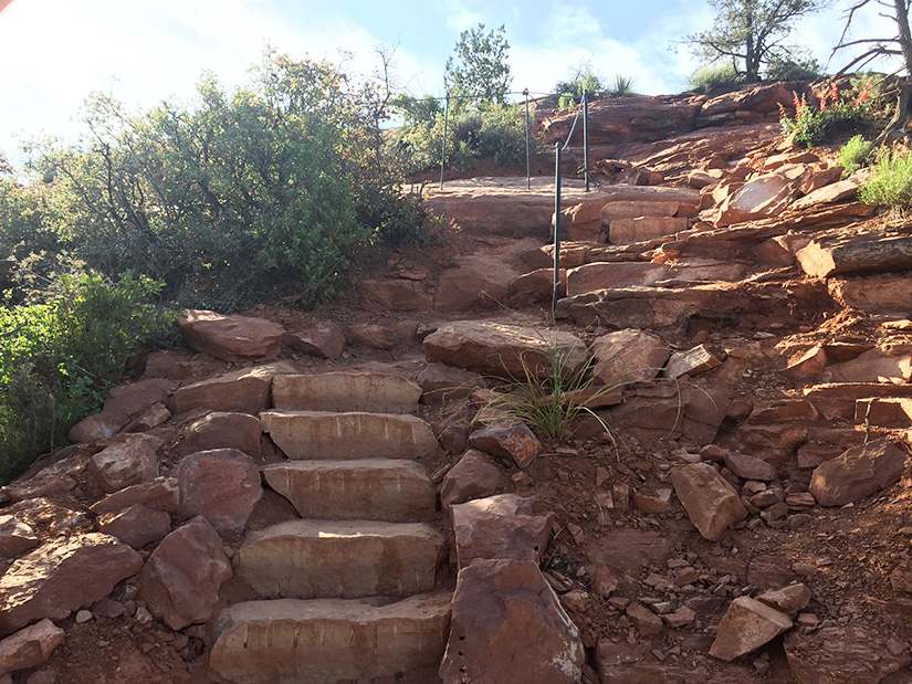
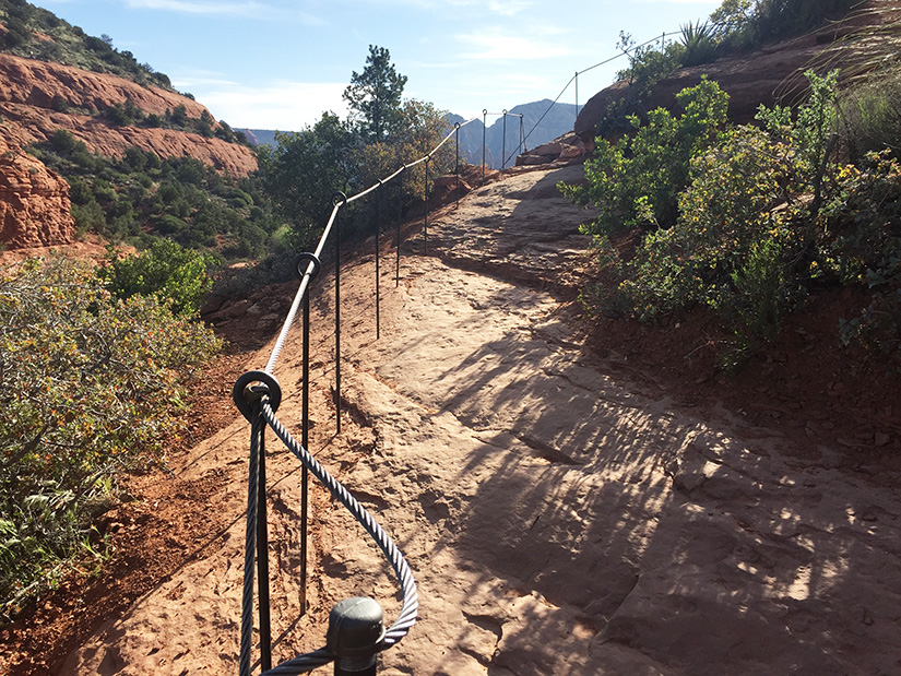
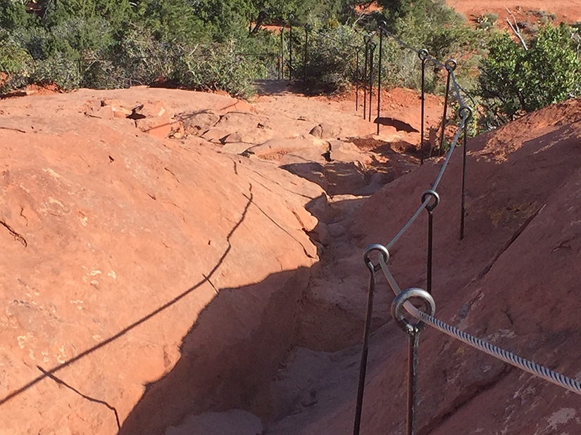
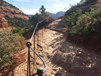
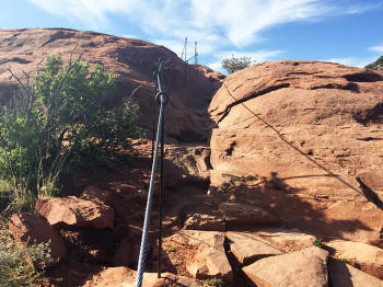
Well defined steps in mid-portion of trail.
Note the guide cable.
|
 |
|
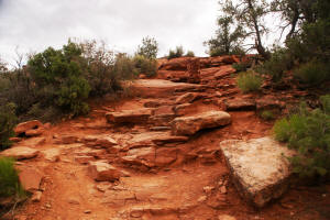
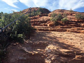
Rock plateau as the trail turns upward.
Note the guide cable to aid in hiking.
|
 |
|
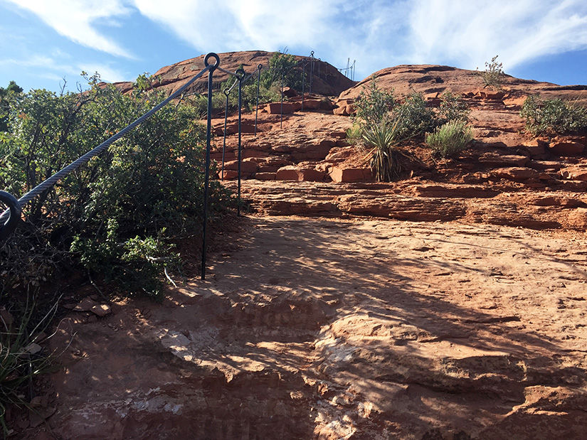
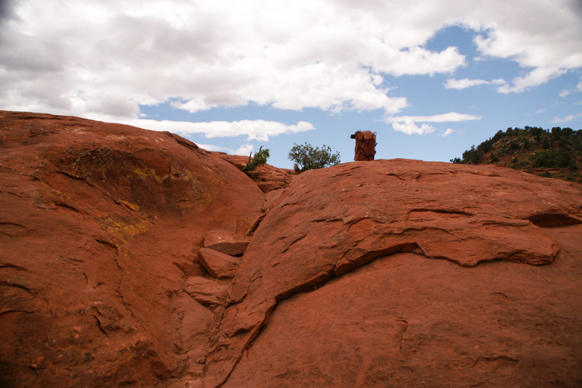
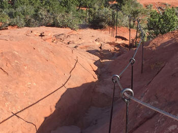
Last leg of the trail.
Note the guide cable.
|
 |
|
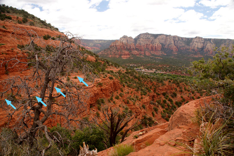
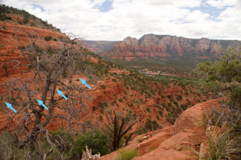
View to the east - Midway on Airport Lookout
Summit.
On the south face of the butte the
Coconino Loop Trail
can be seen (blue arrows). Click on Picture to enlarge.
|
|
|
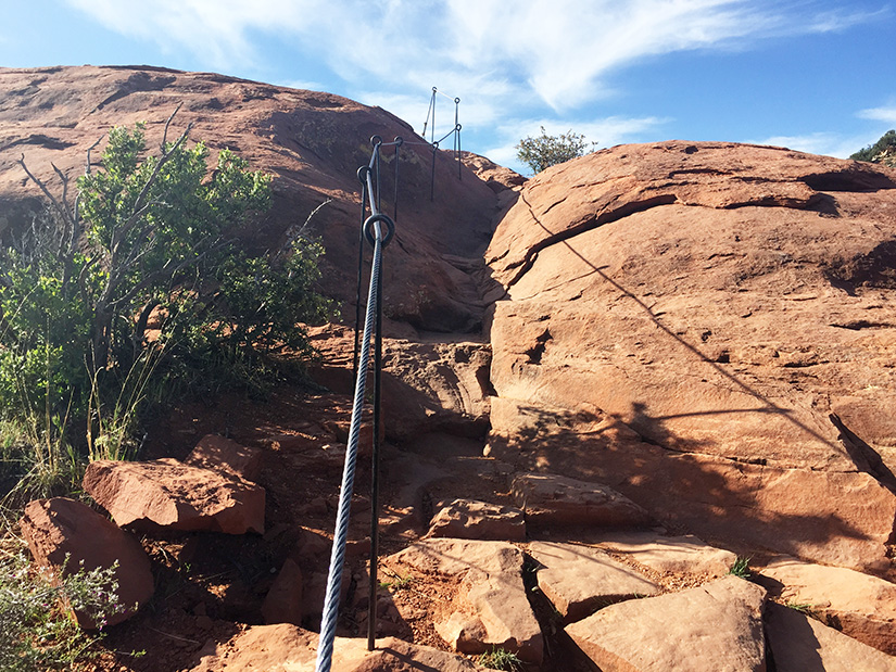
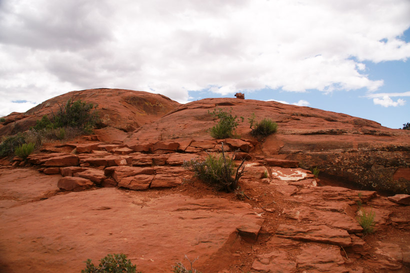
Airport Lookout final ascent
to summit.
|
 |
|
Last leg of the trail. The cairn at the end of the
trail can be seen. (Prior to March 2015)
|
 |
|
View of the top of the tail and the cairn
marking the trail's end. (Prior to March 2015)
|
 |
|
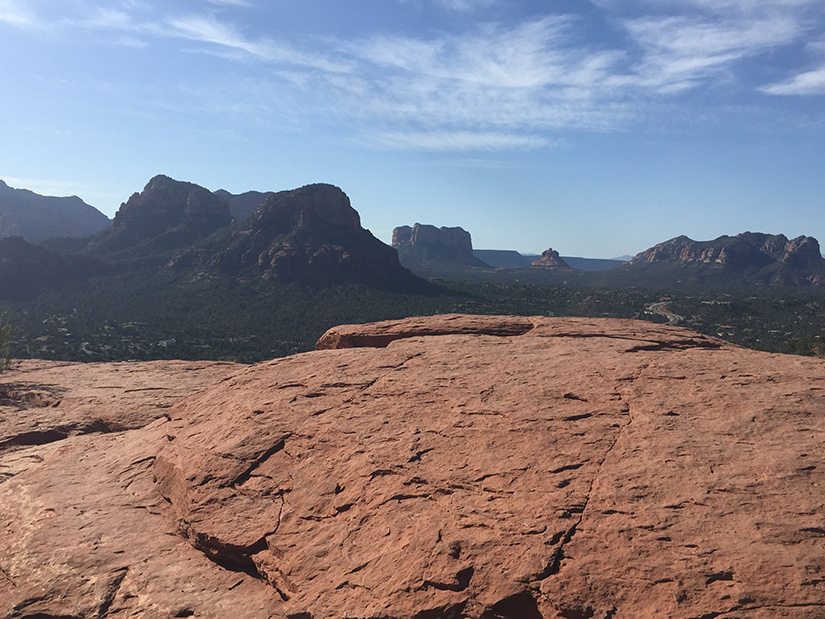
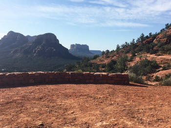
Top of Airport Lookout.
|
 |
|
|
|
|
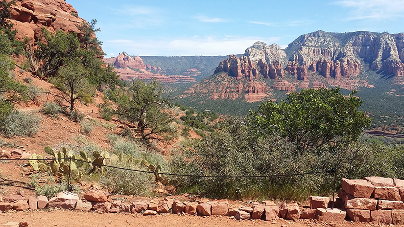
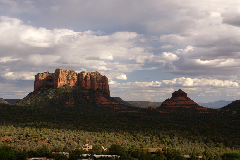
View to the south with Court House Butte (to the
left) and Bell Rock (middle) seen on the horizon.

|
 |
|
View to the south with Court House Butte (to the
left) and Bell Rock (middle) seen on the horizon.
|
 |
|
View to the southwest of Airport Loop Trail.
|
 |
|
View to the northwest from the top of Airport
Overlook Point.
|
 |
|
View looking down Airport Overlook Trail from the
Summit.
|
 |
|
Click Here To Go To Airport Loop Trail
|