|
Airport Loop Trail -
3.5 Miles
|
|
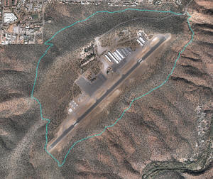
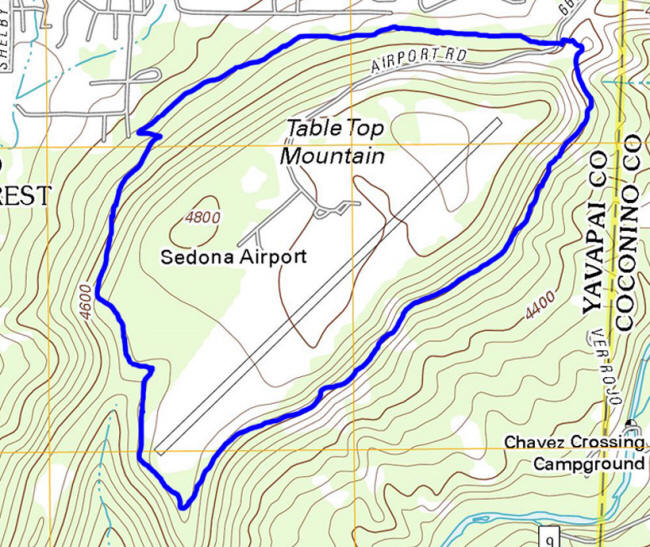
The picture on the right is an aerial view of
Airport Loop Trail. Mouse over to view the topographic map of
the are. Click on the picture to enlarge. (View Large Topographic map at bottom of
page). The change in elevation is from 4440 feet to 4710 feet.
Click on Pictures to Enlarge
Note: All trail maps are
designed to give the hiker an idea what he/she will encounter. They are not designed for navigation or to be used as a source of
directions for a hike.
|
 |
|
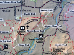
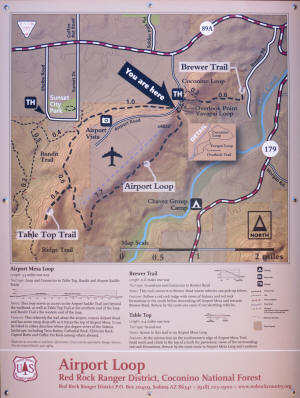
Trail Map on the Right Shows Airport Loop, Coconino Loop and Brewer
Trail. Click on Maps to Enlarge
|
 |
|
USDA Forest Service Information about Airport Loop
Trails:
http://www.fs.usda.gov/recarea/coconino/
recreation/hiking/recarea/?recid=71905&actid=50
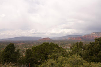
View to the northwest from the parking lot.
|
 |
|
View to the North from the parking lot.
|
|
|
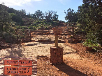
From the parking lot, go up
the hill to the right and follow the signs. The appearance of
the signs tend to change frequently. The parking lot area has
been lined with rocks and a fence to cordon off environmentally
sensitive areas.
|
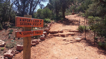
After March 2015, the trail leading to the airport loop trailhead
has been lined with rocks and a fence to cordon off environmentally
sensitive areas.
|
|
|
|
View to the East from the
trailhead.
|
 |
|
Trailhead of Airport Loop Trail. .
|
 |
|
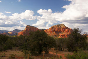
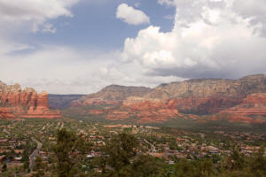
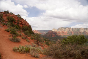
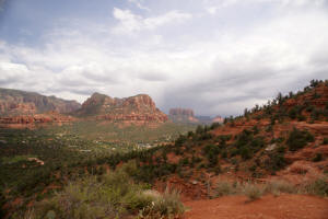
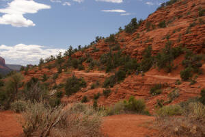
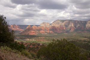
View to the south from the trailhead of Airport
Loop Trail. Note Courthouse Butte and Bell Rock on the
Horizon. To the right the first part of Airport Loop Trail can
be seen winding around the ridge. Below is a close up view
of Courthouse Butte.
|
 |
|
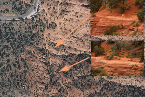
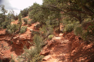
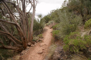
This aerial photograph shows the beginning of
Airport Loop Trail. The arrow points to a very narrow and
sloping portion of the trail. This is the hardest and most
dangerous part of the trail.
|
 |
|
A close up view of the two steep portions of the
trail.
|
 |
|
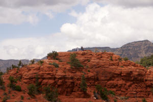
Looking Back at Overlook Point.
|
 |
|
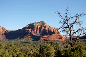
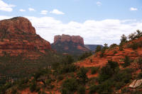
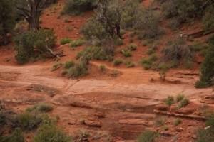
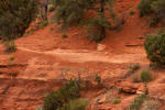
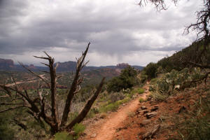
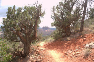
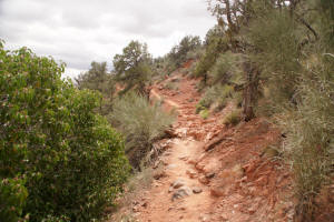
The trail winds around the south side of Airport
Mesa.
|
 |
|
|
 |
|
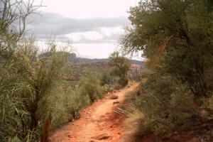
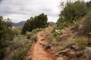
Cathedral Rock comes into view on the distant
horizon.
|
 |
|
|
 |
|
|
 |
|
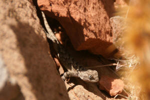
If you look carefully, you can spot some wildlife.
|
 |
|
|
 |
|
|
 |
|
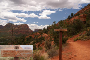
View to the east from the south side of Airport
Loop Trail.
Click Here To Go To Second Page for Airport
Loop Trail
|
 |
|
|
|
 |
|
Click Here To Go To Second Page for Airport
Loop Trail
Other Links
|