|
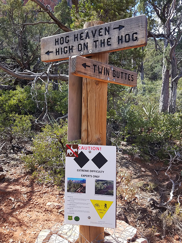
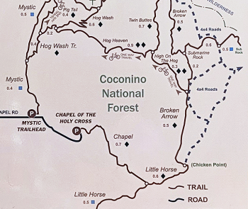
Hiking Southeast on the High on the Hog Trail starting at the
junction of Hog Heaven and Twin Buttes Trail. It affords excellent
views and the hiker transverses numerous rock formations. The trail is
moderate in difficulty and has areas where the trail is next to drop offs. The trail ends by joining Broken Arrow Trail
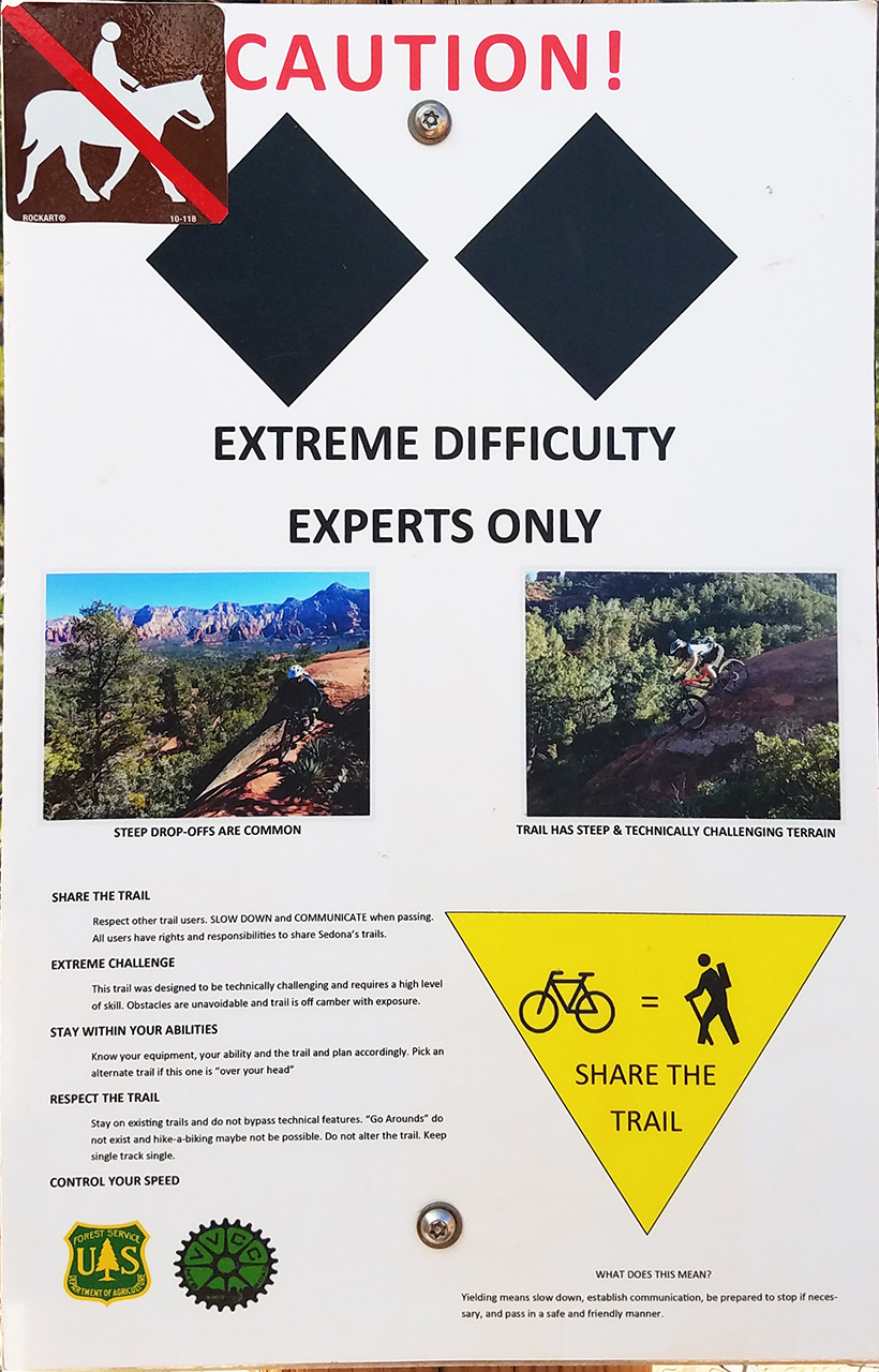
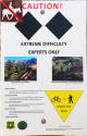
approximately 0.4 miles from Chicken Point. Shown in the left margin is a warning sign for bikers and equestrians.
|
|
|
 If you are a dirt
bike rider the trail must be taken from the direction from the Broken
Arrow Trail to the Junction of Hog Heaven and Twin Buttes Trail (biking
South to North).
The hike discribed in this page is in the opposite direction. If you are a dirt
bike rider the trail must be taken from the direction from the Broken
Arrow Trail to the Junction of Hog Heaven and Twin Buttes Trail (biking
South to North).
The hike discribed in this page is in the opposite direction.
|
|
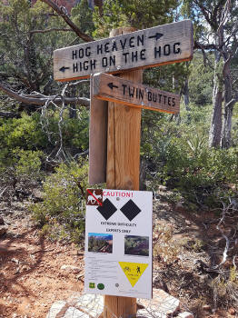
Trail Sign At Junction of Hog
Heaven, Twin Buttes and High on the Hog Trails. |
|
|

|
|
|
|
|
| |
|
|
 |
|
 |
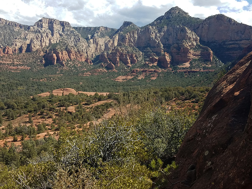
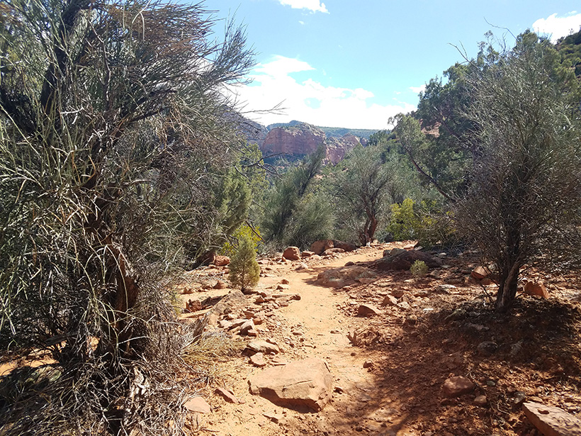
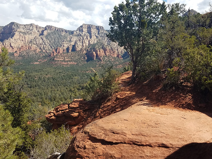
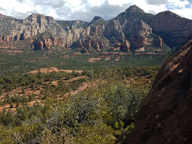
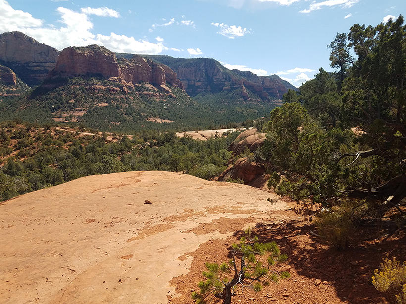
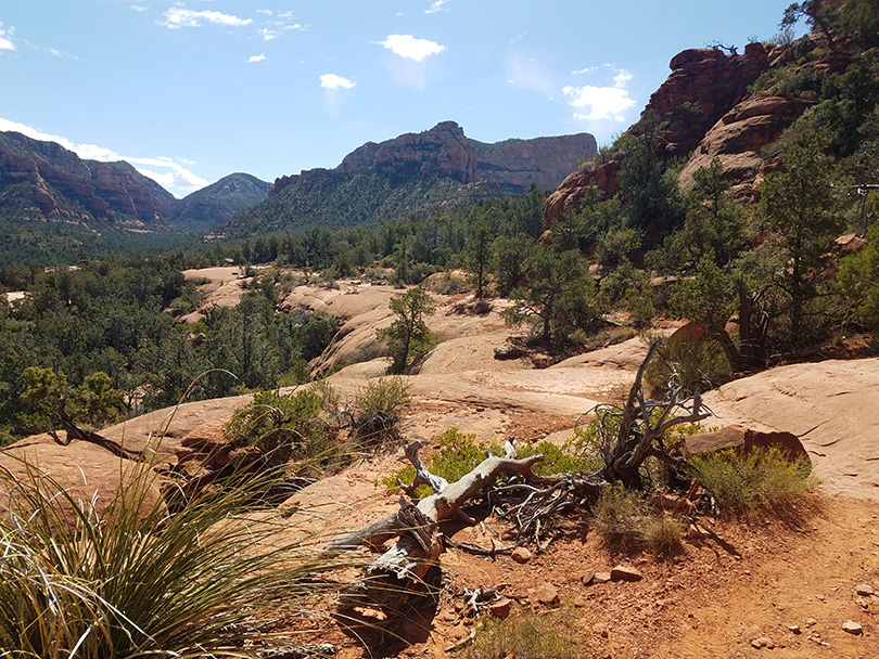
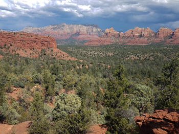
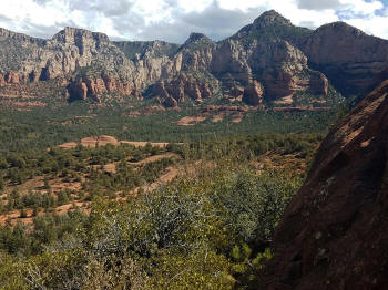
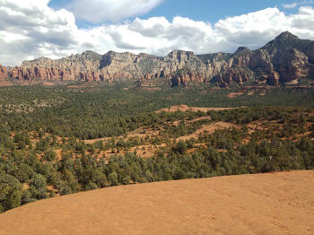
View to the Northeast. |
 |
|
; |
 |
|
 |
|
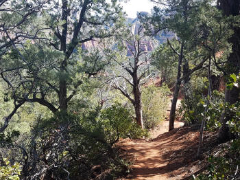 |
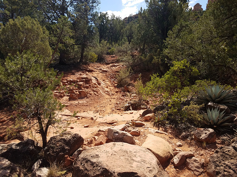
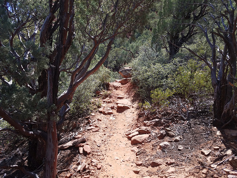
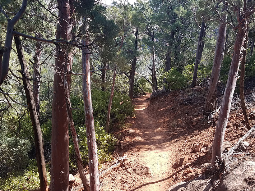
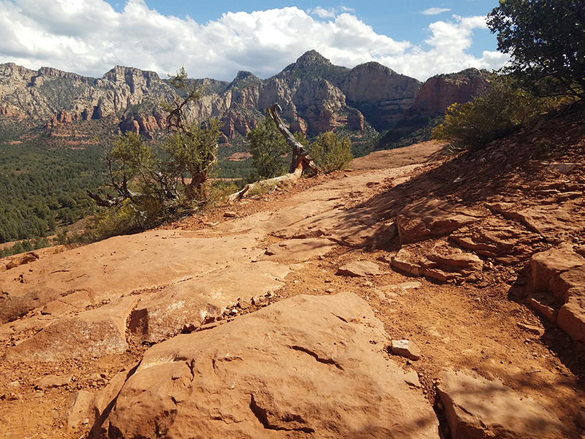
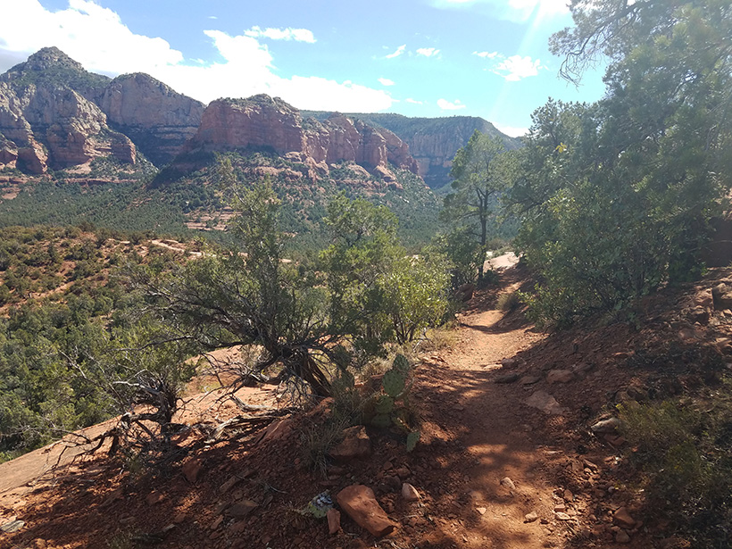
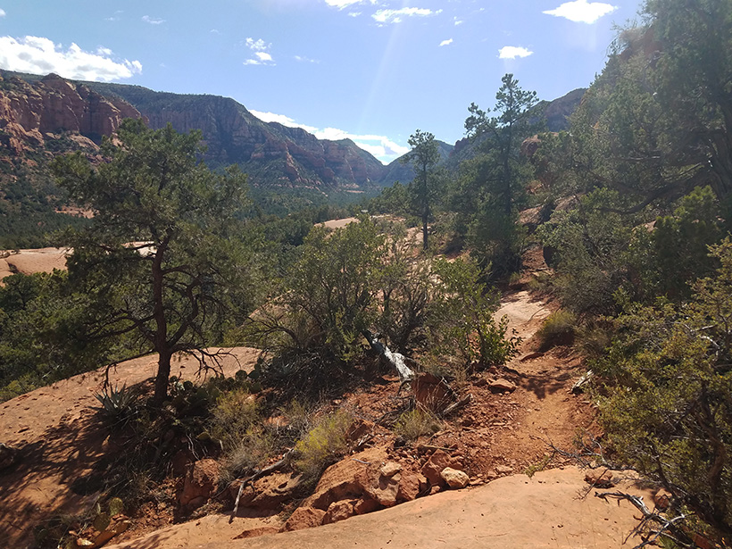
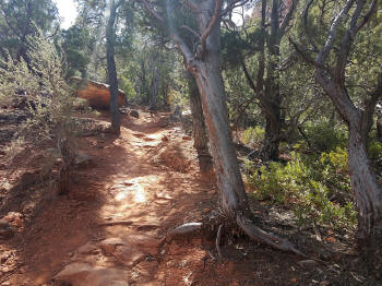
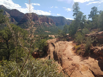
Trail heading East
along a rock cliff. |
 |
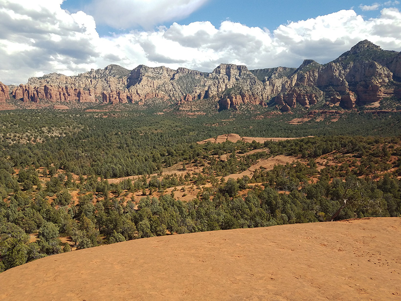
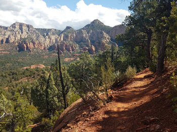
View to the North. |
 |
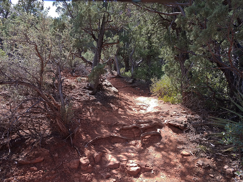
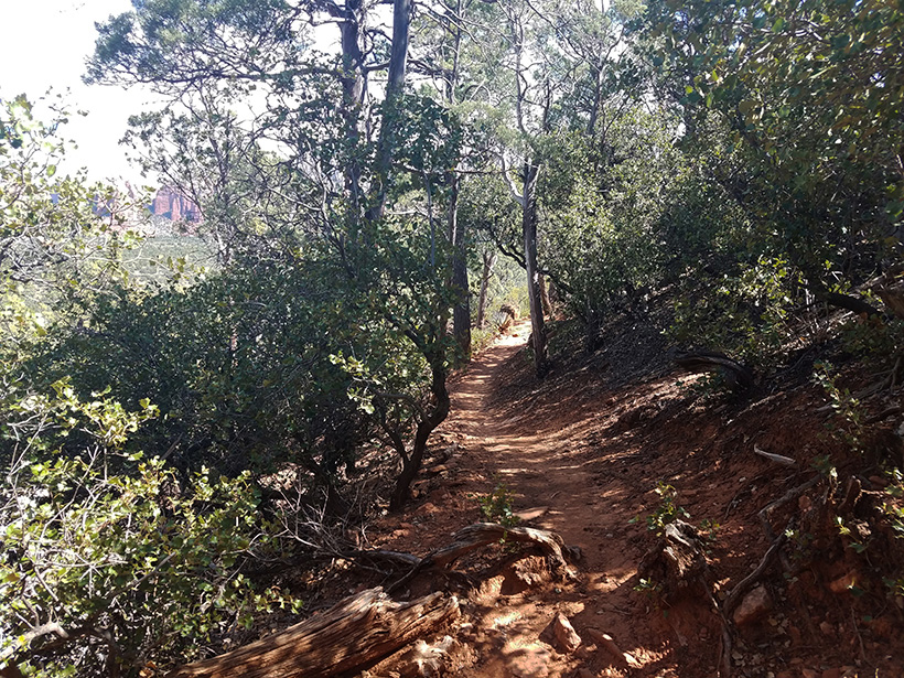
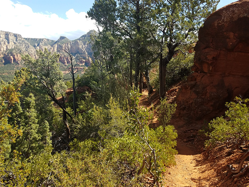
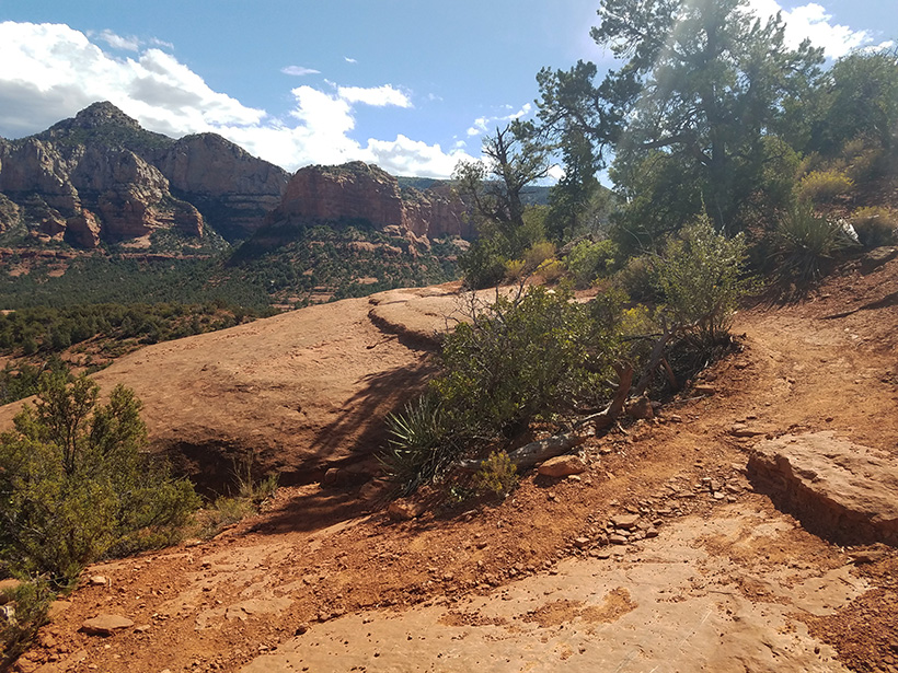
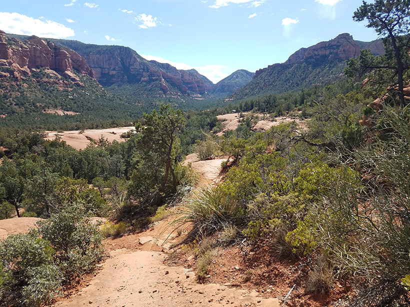
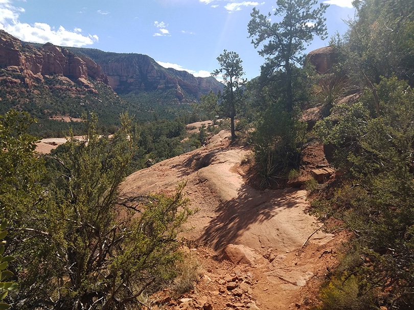
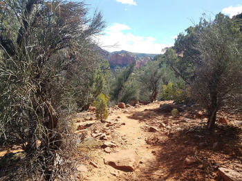
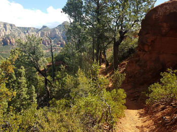
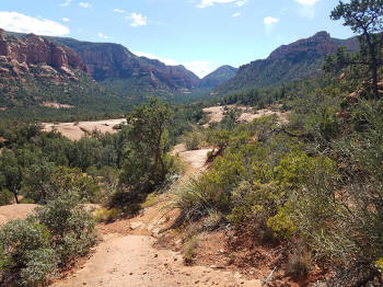
Trail heading Southeast. |
 |
|
|
 |
Note the banking turn for bikes built ouf of
rocks. |
 |
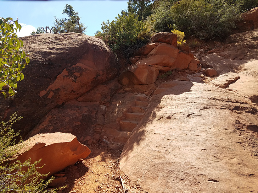
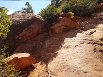
Steps carved into the rock for hikers. |
 |
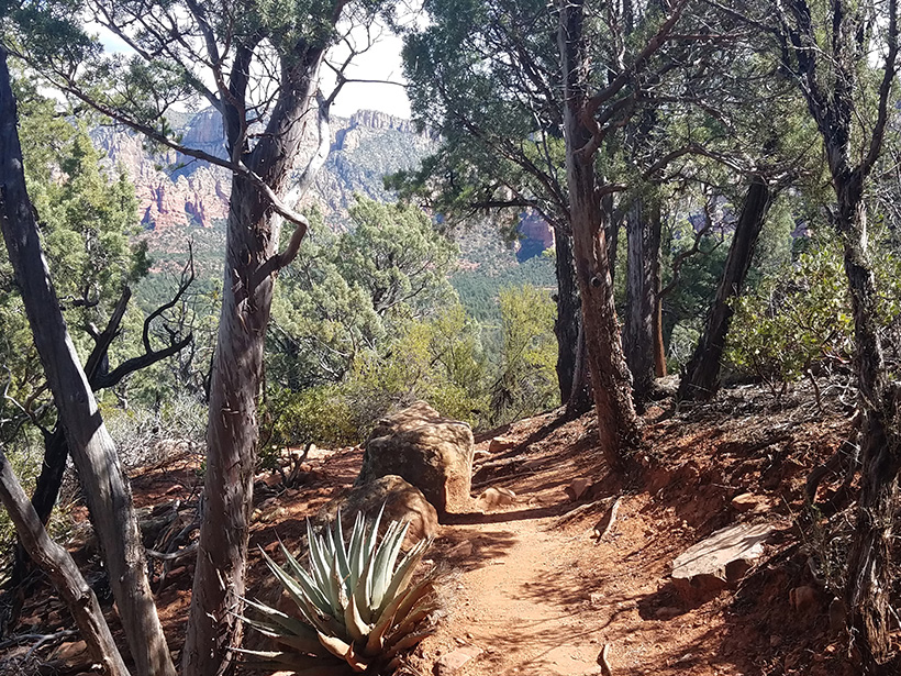
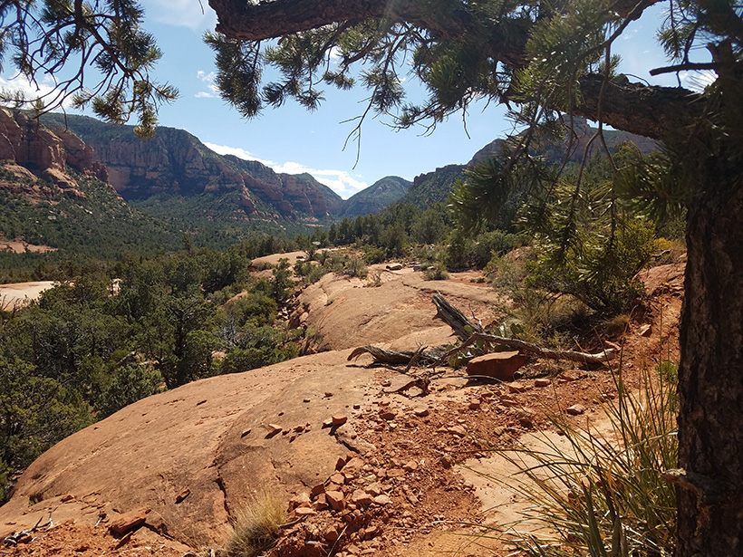
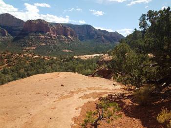
View to the Southeast. |
 |
|
|
 |
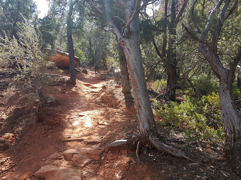
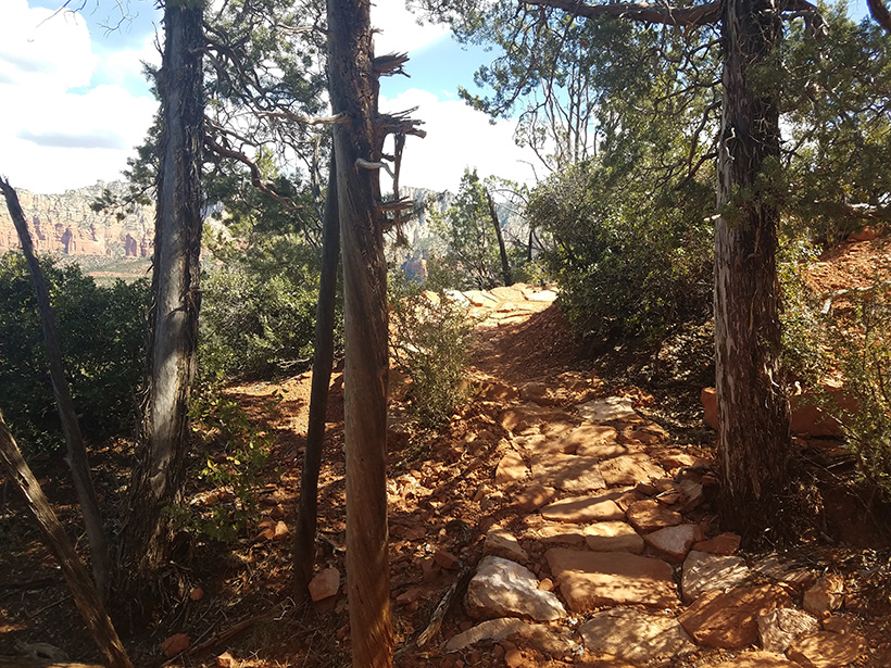
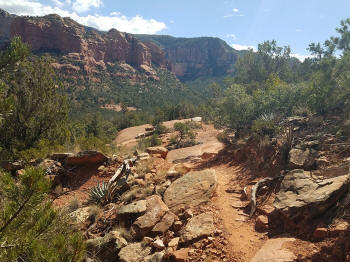
Trail heading South. |
 |
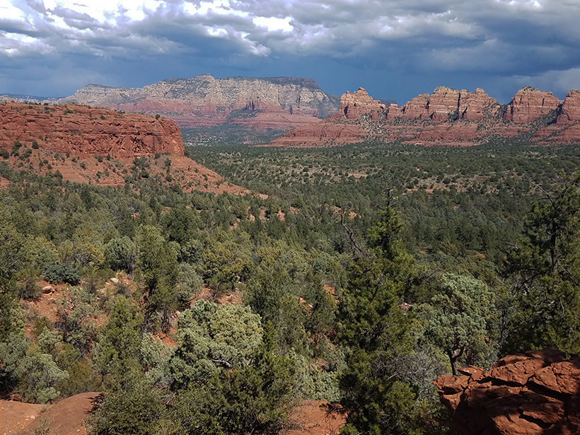
View to the South. |
 |
|
|
View to the North. |
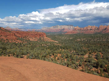 |
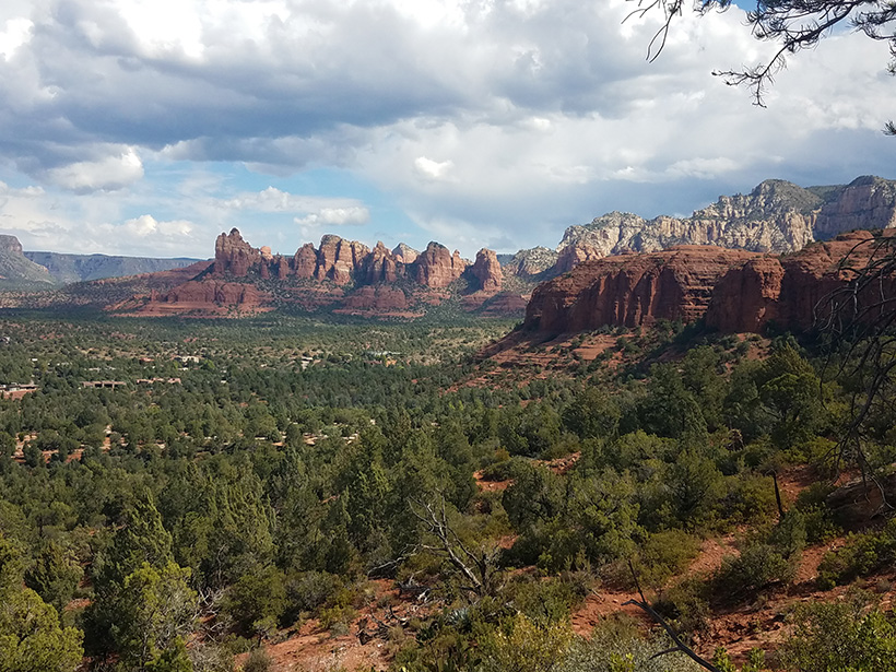
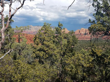
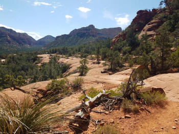
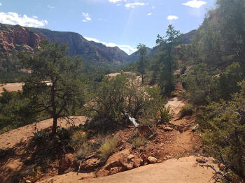
View to the East. Note.
Submarine Rock in the middle of the picture. |
 |
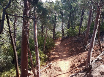
The trail continues to head South. |
 |
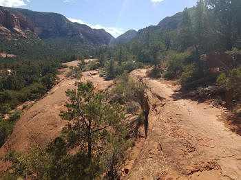
The Jeep Trail can be seen in the mid-left
section of the picture. |
 |
The trail continues to head South. In
the distance is the trail sign for the Junction with Broken Arrow Trail.
It is two small to see in the picture. |
 |
|
|
 |
|
|
 |
|
 |
|
 |
|
 |
The trail heads South adn
ends. In
the distance is the trail sign for the Junction with Broken Arrow Trail. It
is visible in the higer resolution picture.
Click on the picture to enlarge.
|
 |
Continuation
of Hike: Chicken
Point Via Broken Arrow Trail
Other Links:
|