|
|
|
|
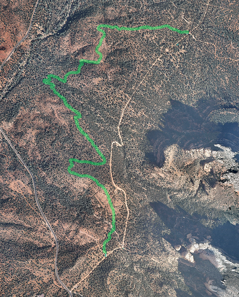
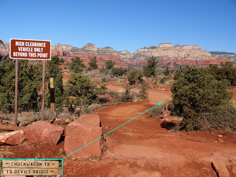
West of the Dry Creek Vista Parking :Lot trail map sign is a short
path leading to the trailhead of Chuck Wagon Trail. Trail Sign Below
|
 |
|
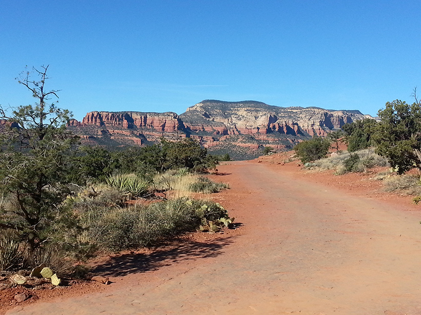
Northwest of the Dry Creek Vista Parking :Lot is a
jeep trail that also leads to the trailhead of Chuck Wagon Trail.
|
 |
|
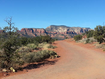
To the left the jeep trail continues to a vantage
point (Dry Creek Vista) with excellent views.
|
 |
|
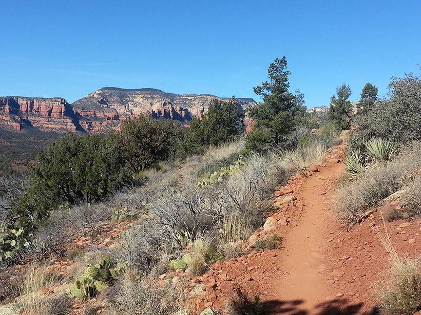
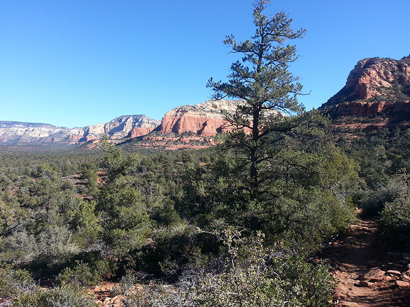
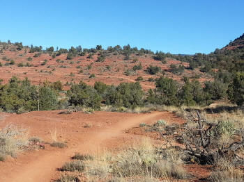
To the right is the start of Chuck Wagon Trail
|
 |
|
|
 |
|
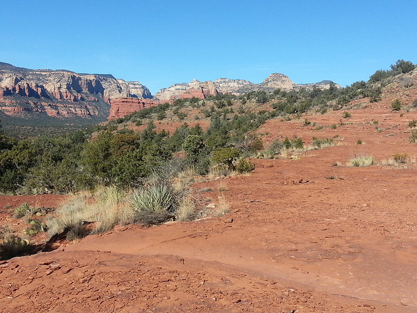
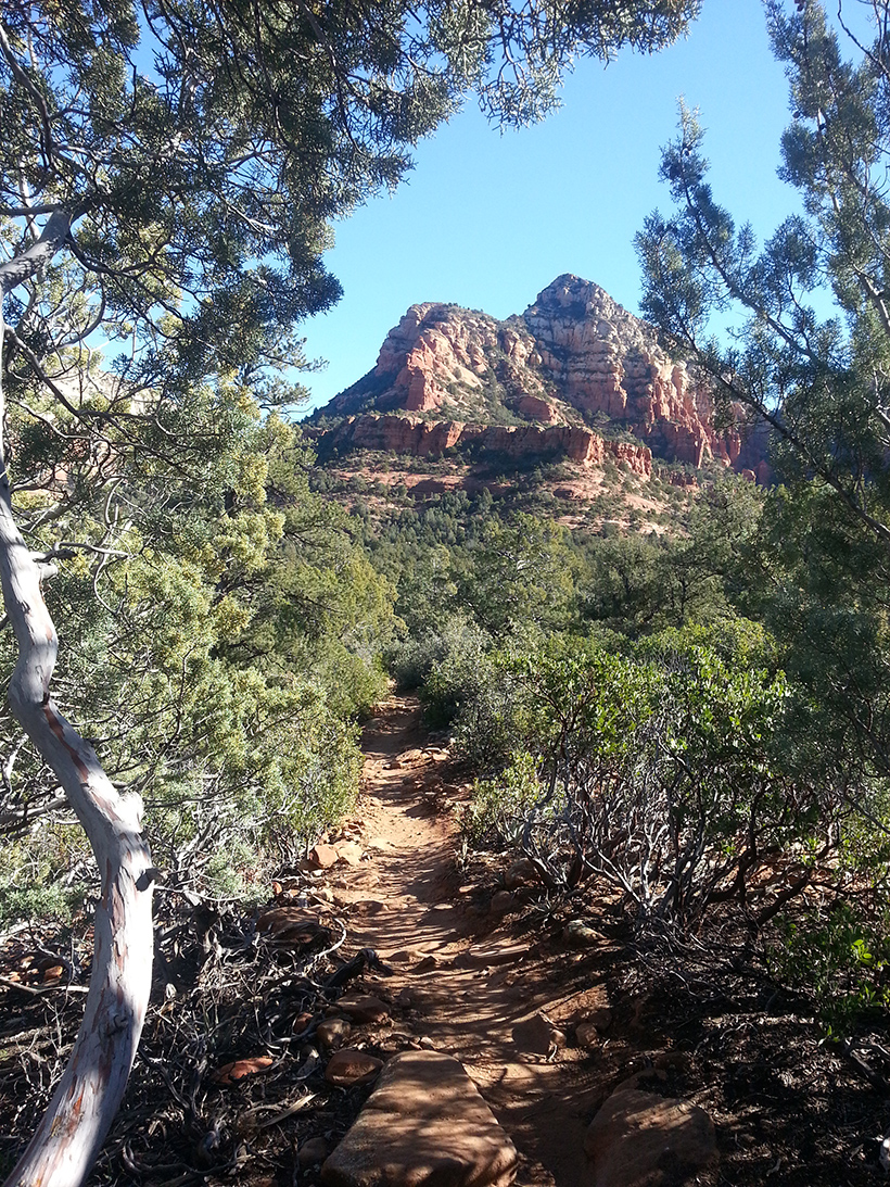
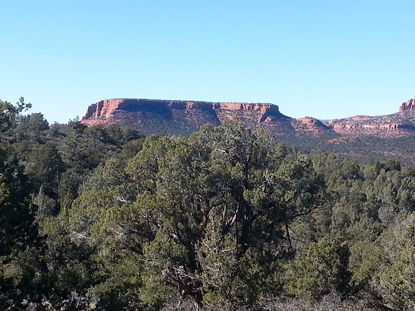
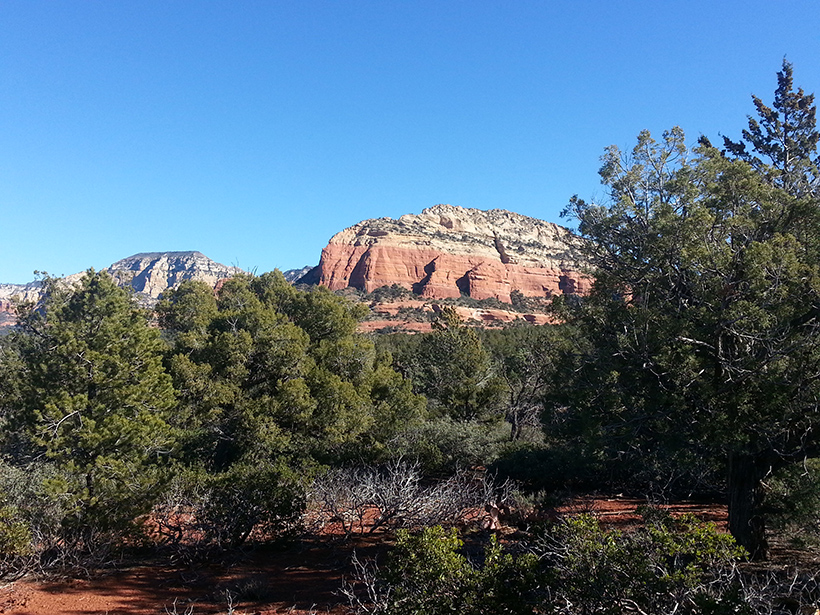
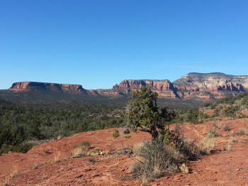
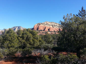
View of Bear Mountainn on the left horizon.
|
 |
|
|
 |
|
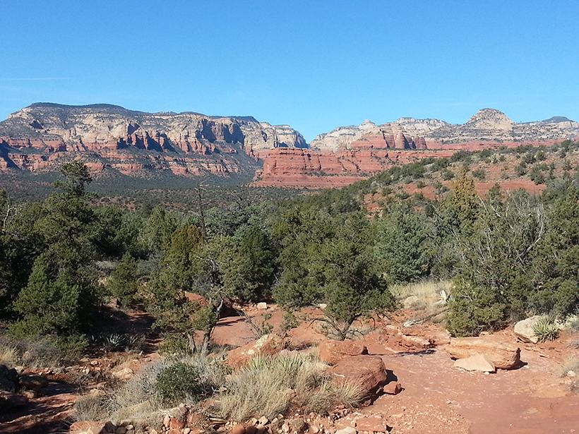
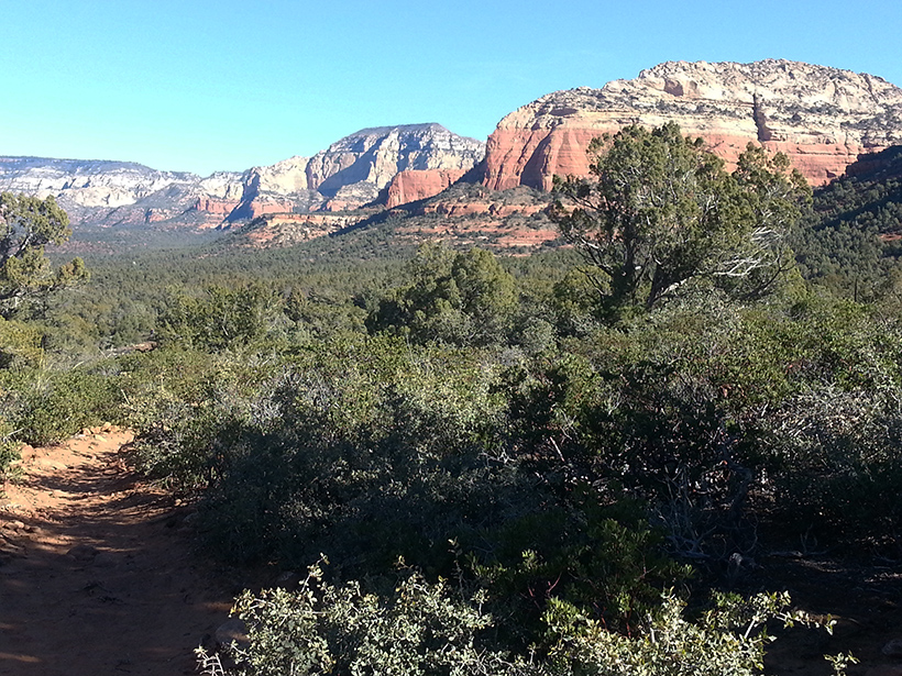
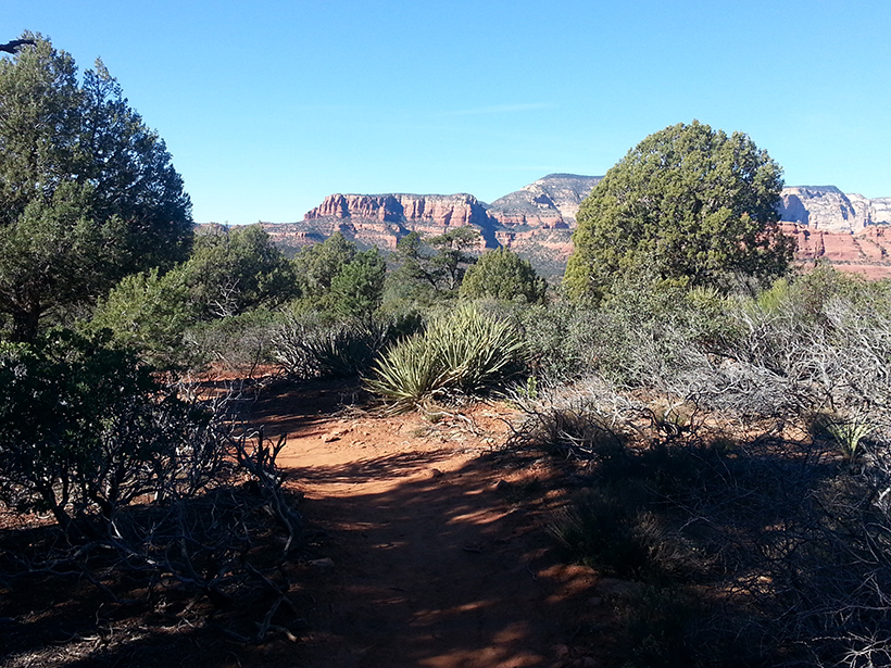
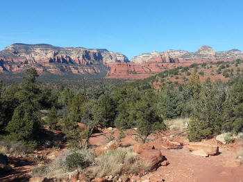
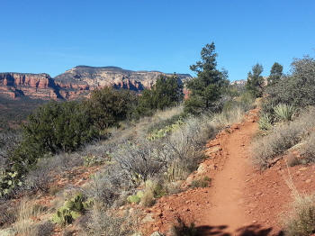
Doe Mountain on the left horizon, Bear Mountain
on the right and mid-horizon.
|
 |
|
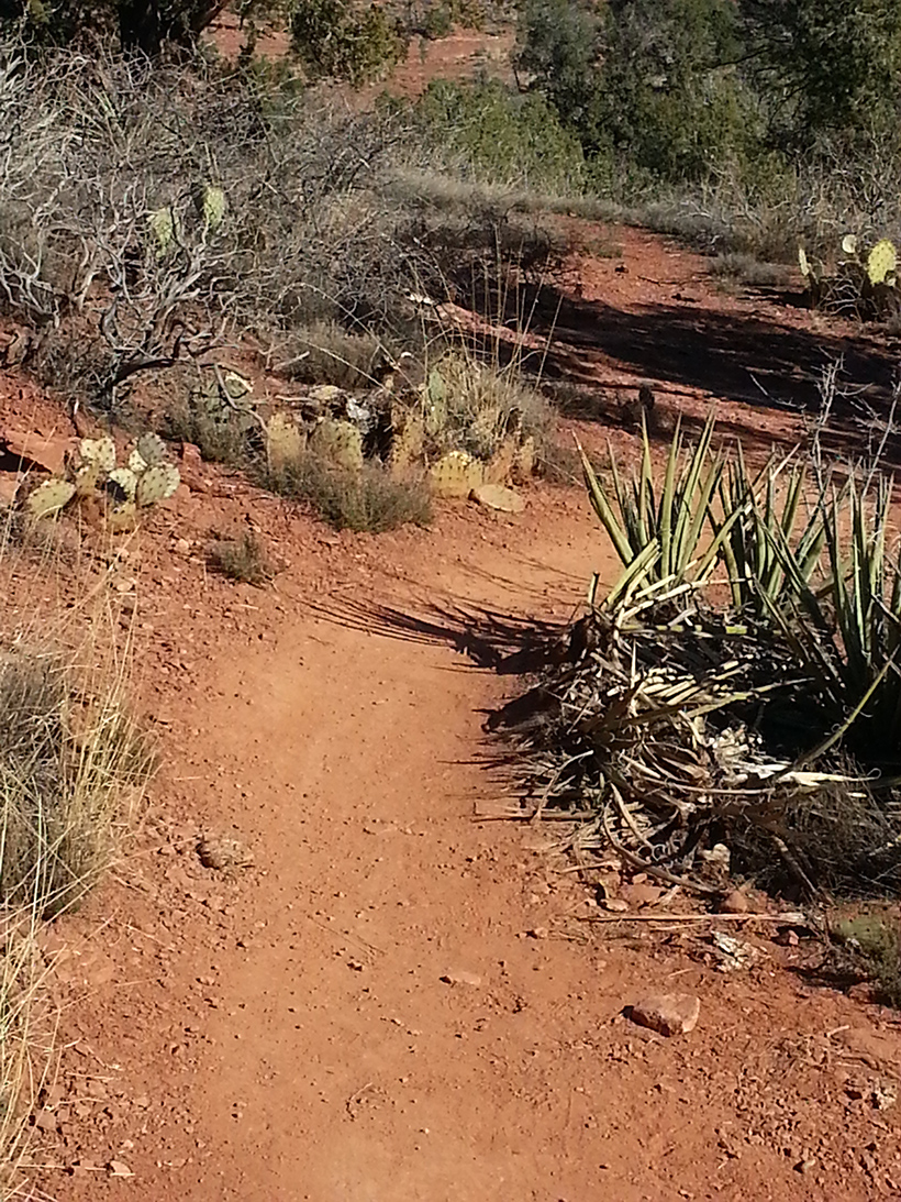
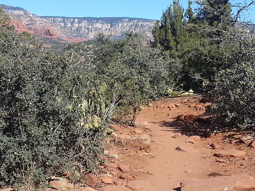
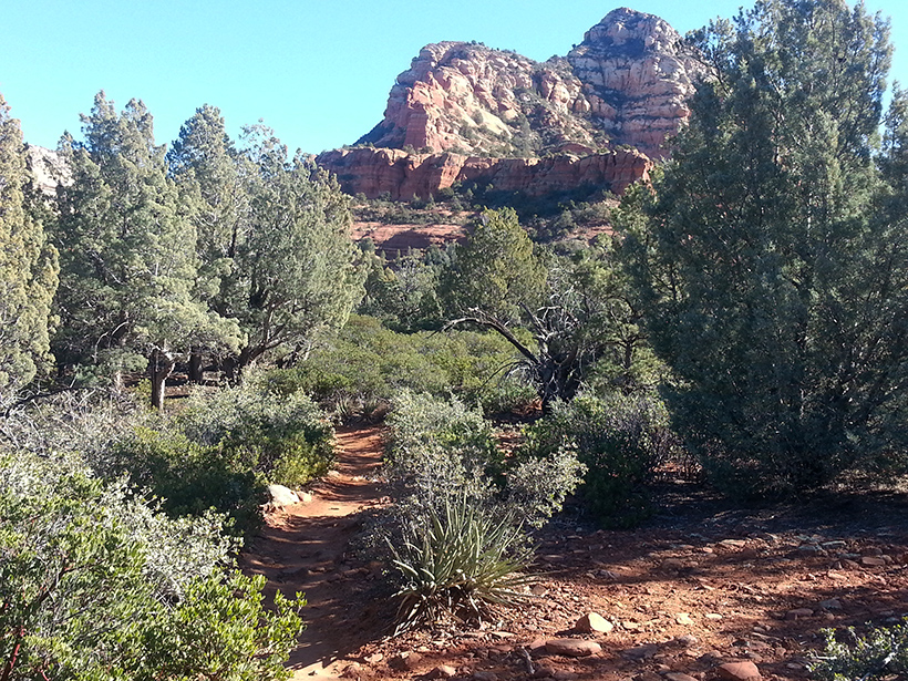
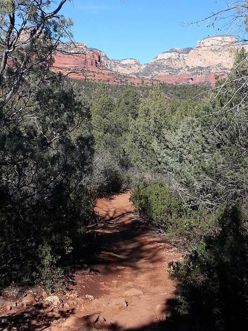
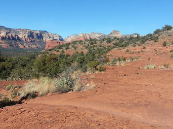
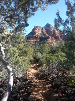
Trail continues, view of Bear Mountain on
horizon.
|
 |
|
|
 |
|
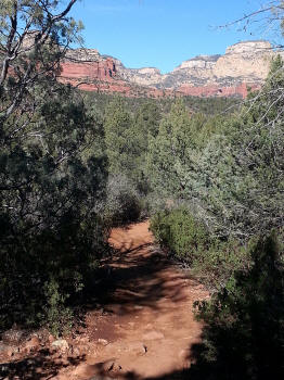
View to the North.
|
 |
|
|
 |
|
|
 |
|
View to the East.
|
 |
|
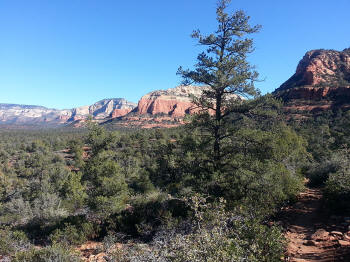
Looking back down the trail at Bear Mountain.
|
 |
|
Looking back donw the rail at Doe Mountain.
|
 |
|
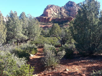
View to the North.
|
 |
|
|
 |
|
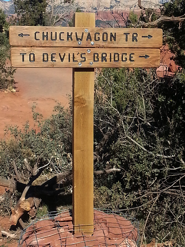
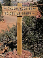
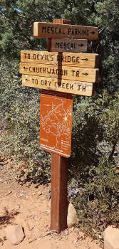
Trail sign showing the junction of Mucal Trail to
the left (leads 0.4 miles to the Mescal Parking Lot). The Chuck Wagon Trail to Devil's Bridge Trailhead continues
stright ahead. If you are hiking from the Dry Creek Vista
Parking Lot to the Devil's Bridge Trailhead, this is the halfway
point. Click on
Picture To Enlarge
|
 |