Cathedral Rock


Return To Home Page
  
Chuck Wagon Trail
 
Devils Bridge Trail
 
Dry Creek Vista
 
Flowers and Wildlife

Bell Rock, Sedona Arizona

 
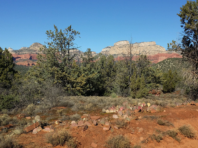
This website is not designed to provide directions or navigation of the trails but solely intended to give you an idea what you may see and experience on the hikes.  


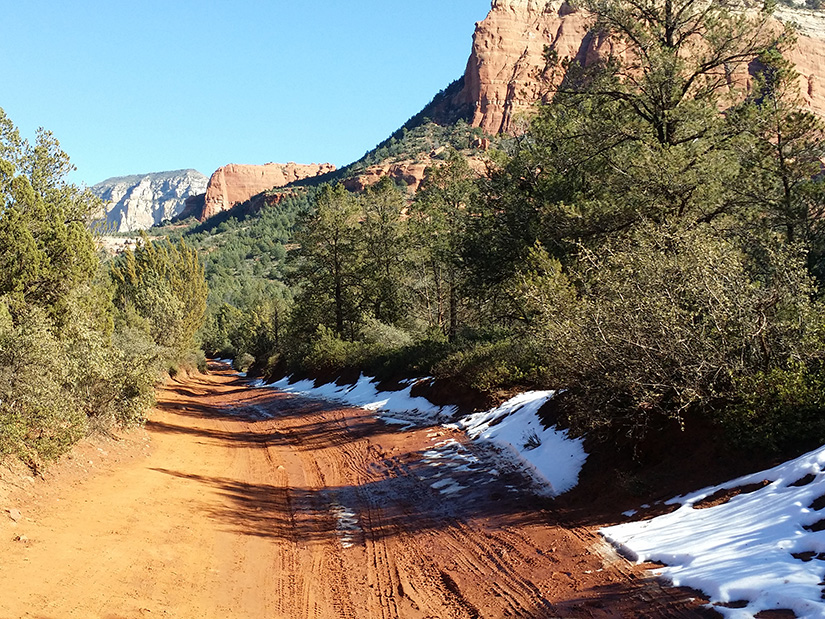
Forest Road 152 Leading To Devils Bridge Trail
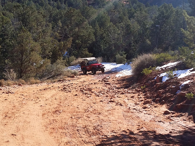
 

Forest Road 152 Aerial Photograph
Forest 
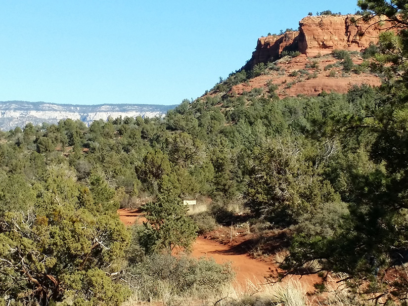
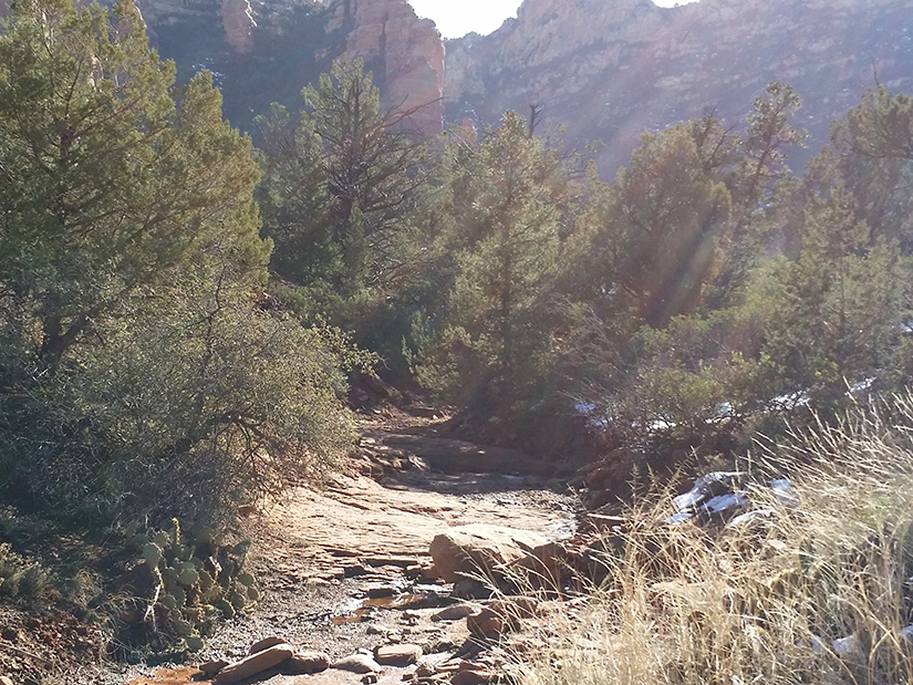
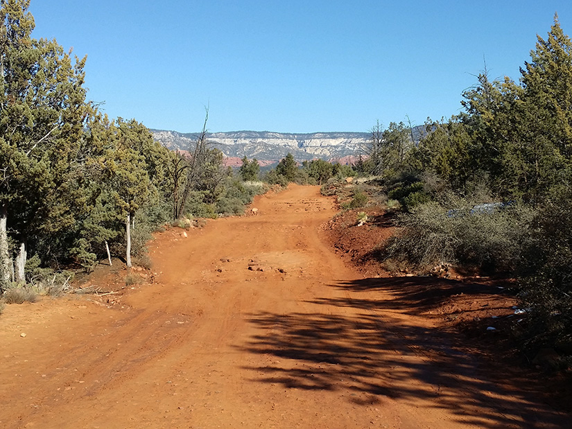
Road 152 is an easy hike of about one mile. There are frequent off road jeeps traveling this road. To the right shows an aerial photograph of the road (light blue) as it leads to Devils Trail (red).

For More Information Go To: For More Information Go To:
https://www.fs.usda.gov/recarea/coconino/recreation/hiking/recarea/?recid=54892&actid=50  


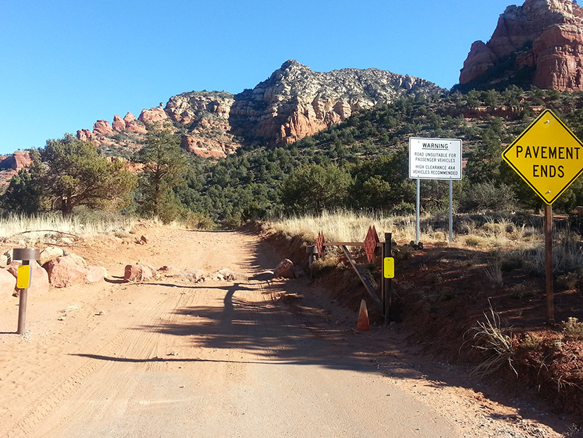
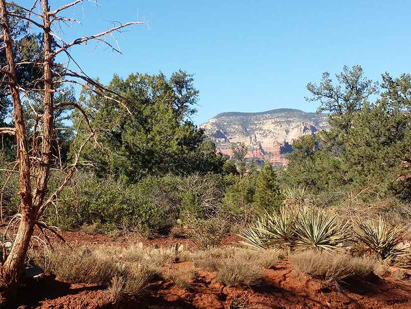
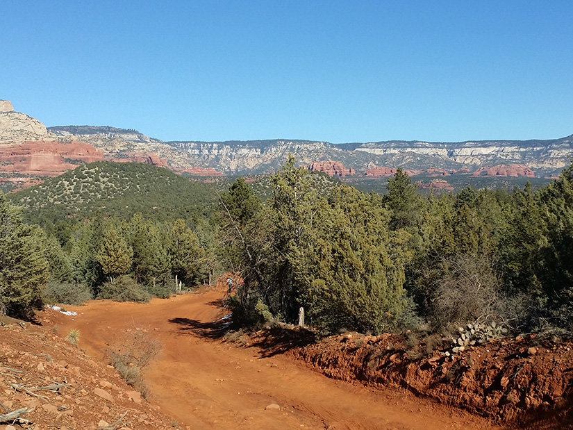
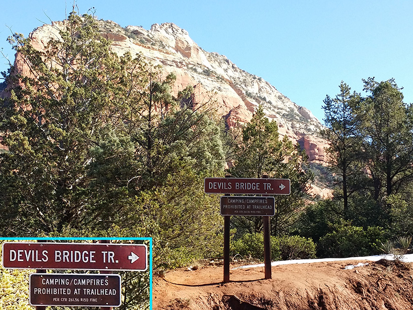
Forrest Road 152 is the shortest distance to Devils Bridge Trail.  Note the large rocks which prevent cars from traveling the road.  Devils Bridge Trailhead is 1 mile down this road. 

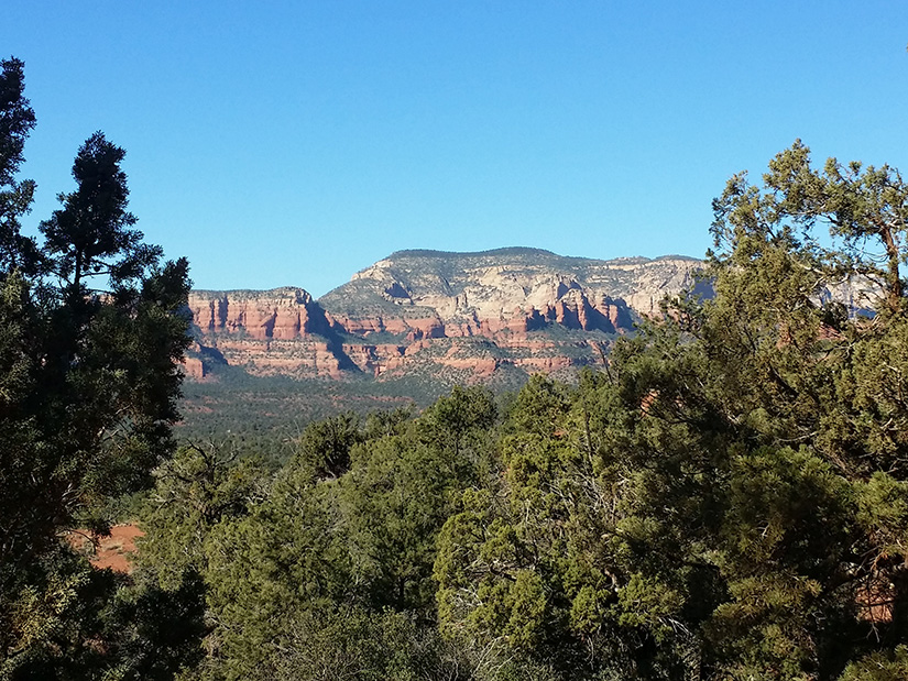
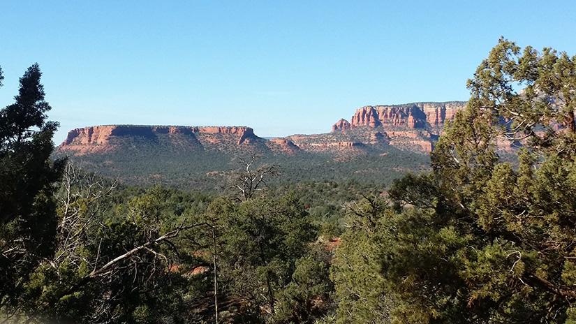
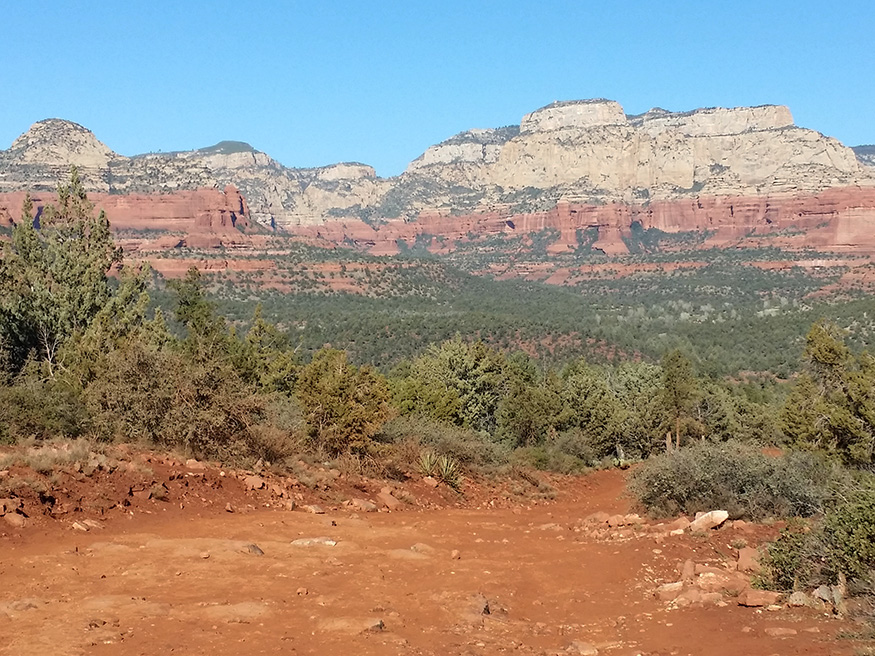
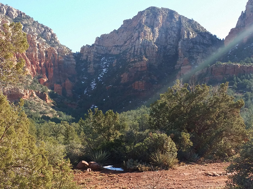
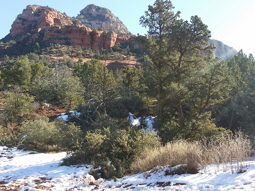
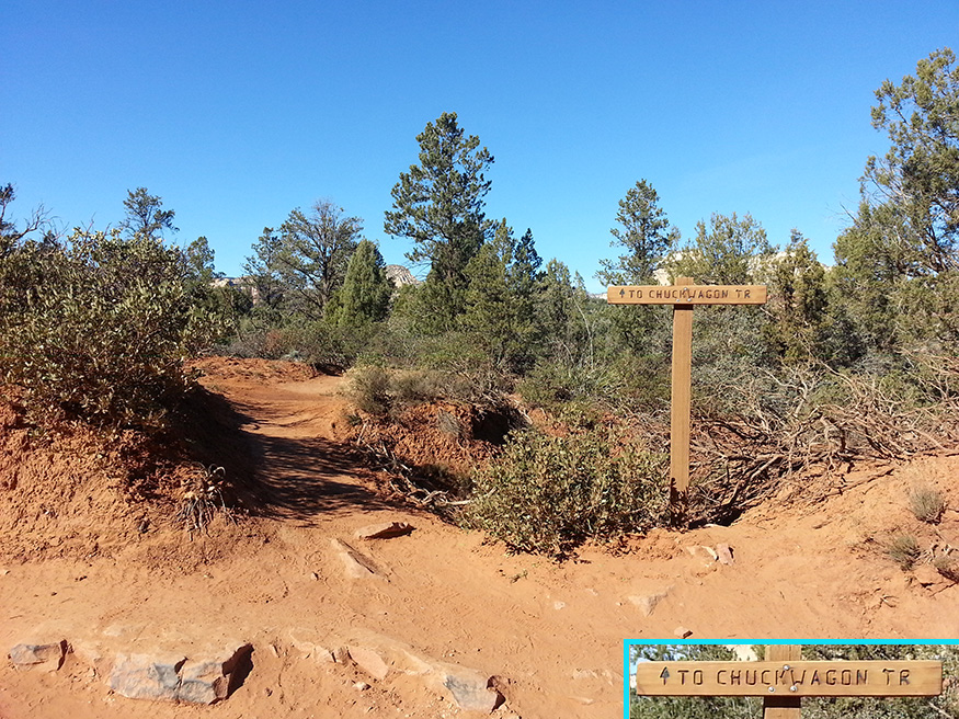
Chuck Wagon Trail is twice as long at 2.1 miles but has much better views and scenery.

Click on Pictures to Enlarge


View to the west.


View of Bear Mountain to the South..


View of Doe Mountain (horizon left) Bear Mountain (horizon right) to the South..


View of Bear Mountain to the South.


Forest Road 152 is only suitable for use by off road vehicles.


To the right (north) is the parking lot for Devils Bridge Trail.


To the left (south) is a short trail leading to Chuck Wagon Trail.

 
Trail Leading to Chuck Wagon Trail
 

Use the Links Below to Go to Home Page of Additional Hiking Trails: