Cathedral Rock

Return To Home Page
 
Bear Mountain Trail

This website is not designed to provide directions or navigation of the trails but solely intended to give you an idea what you may see and experience on the hikes.  

Doe Mountain Trail Sign and Map

Trail Map of Doe and Bear Mountain
Click on Trail Map to Enlarge


Doe Mountain Topographical MapDoe Mountain Trail traverses up the west side of the mountain. It is best to do this hike in the morning so going up and down the hill you will be in the shade. The pictures were taken from a hike between the hours of 9:00 AM and 11:00 AM. The trail is 0.7 miles from to the top with an elevation change of 400 feet. On the top of the mesa there is a trail which leads to the opposite side and many side paths which encircle the mesa. This will add about a mile to the hike.

There is one short section at the very top of a 45 degree crevice with very good stepping stones. This can be traversed easily up and down.     Close Up View of Trail


For more information go to the U.S. Forest Service Website.
http://www.fs.usda.gov/recarea/coconino/
recreation/hiking/recarea/?recid=55296&actid=50  

Click on the pictures below to enlarge

 
Doe Mountain Trail -- Aerial MapAerial Map of Doe Mountain Trail.

Note: All trail maps are designed to give the hiker an idea what he/she will encounter. They are not designed for navigation or to be used as a source of directions for a hike.      


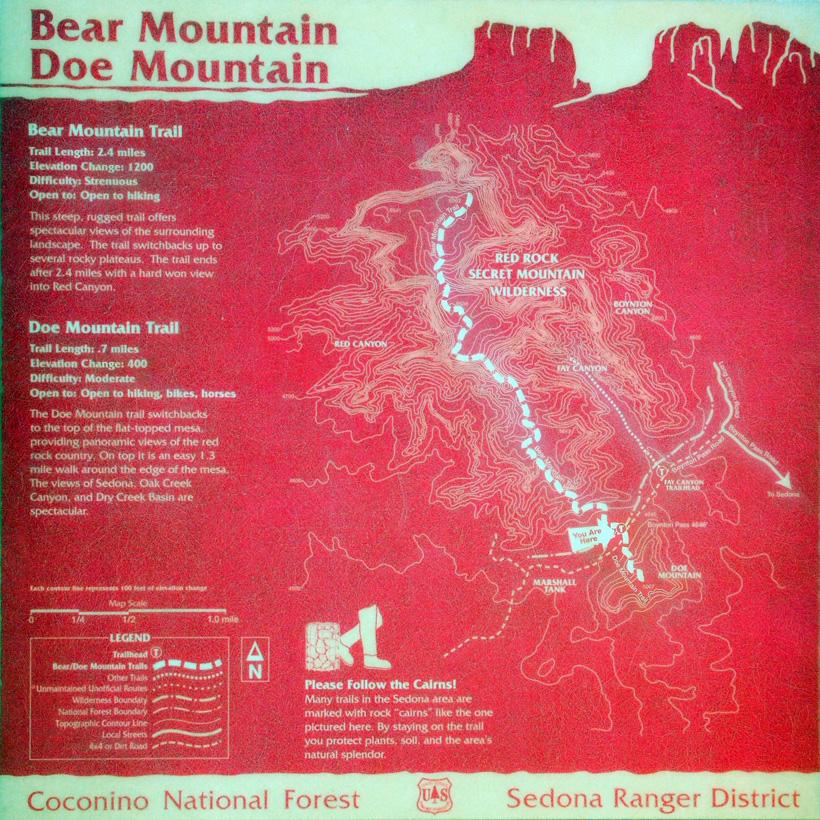
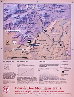
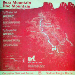
Trail Map of Doe Mountain Trail.


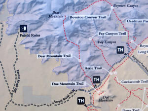
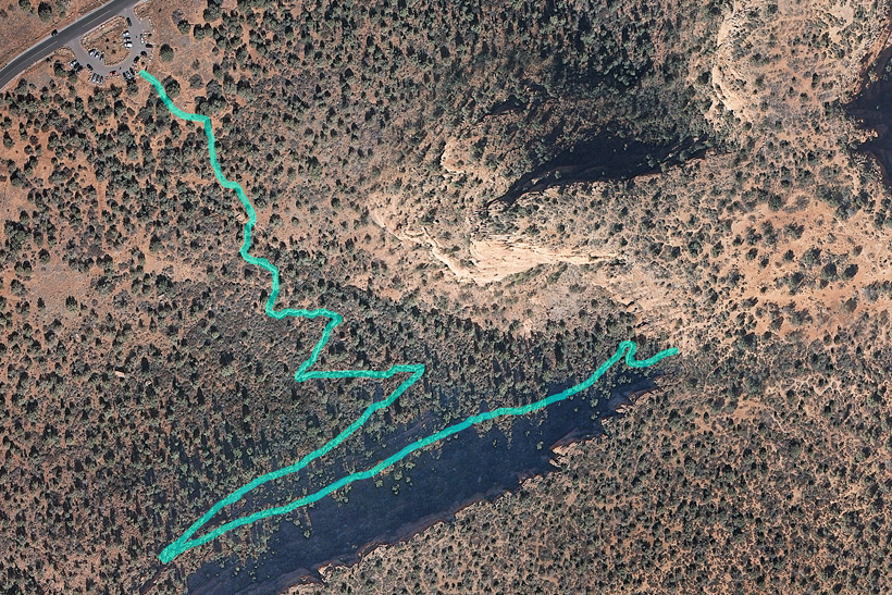
Download Large Aerial Map of Doe Mountain


Doe Mountain Trail Map
 

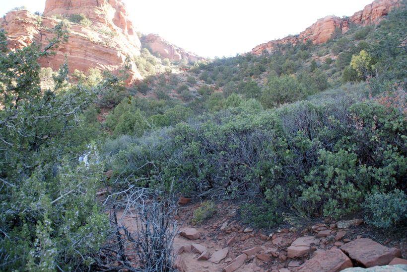
Mule Deer in Boynton Pass as one approaches Doe Mountain.


Mule Deer

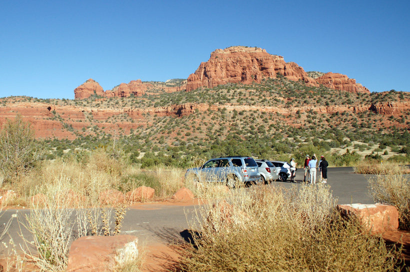
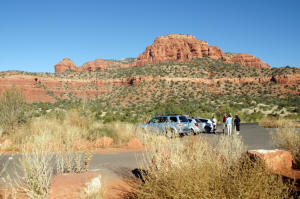
Doe and Bear Mountain Parking Lot with view of Bear Mountain (looking northwest).


Doe and Bear Mountain Parking Los With View of Bear Mountain

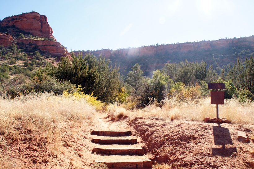
Doe Mountain Trailhead.


Doe Mountain Trailhead

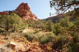
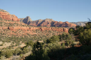
Looking up at Doe Mountain.


Looking up at Doe Mountain

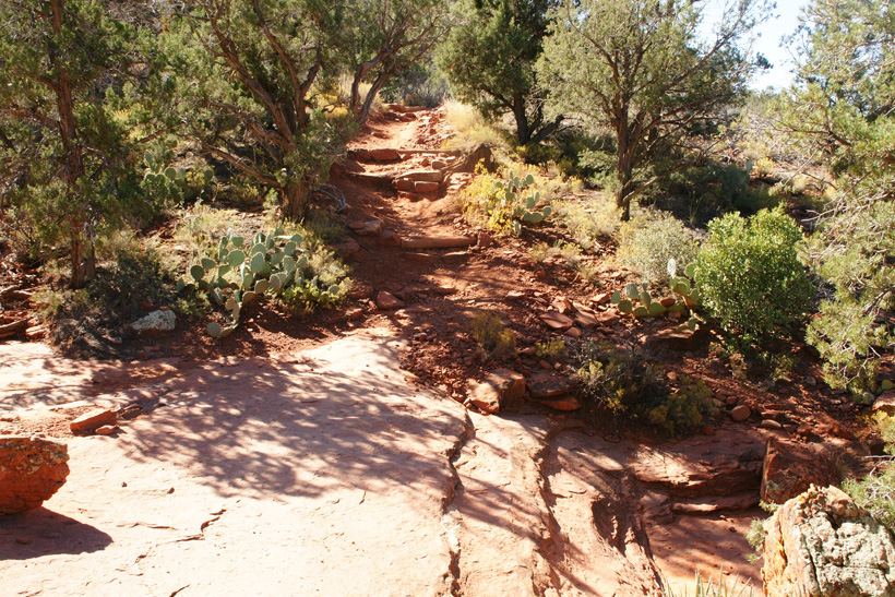
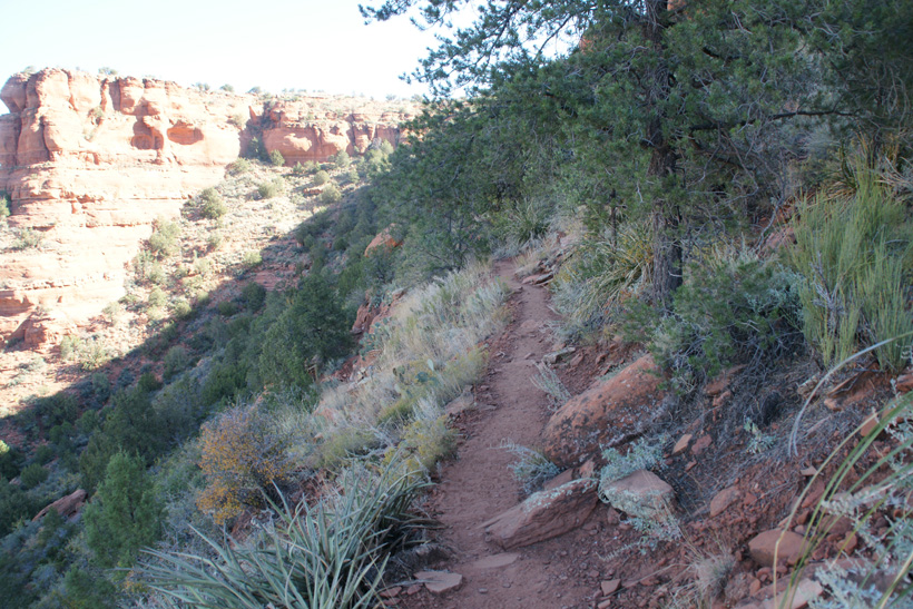
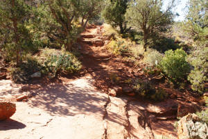
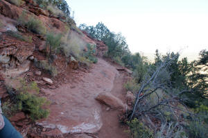
Doe Mountain Lower Trail.


Doe Mountain Lower Trail


Looking up at Doe Mountain 2

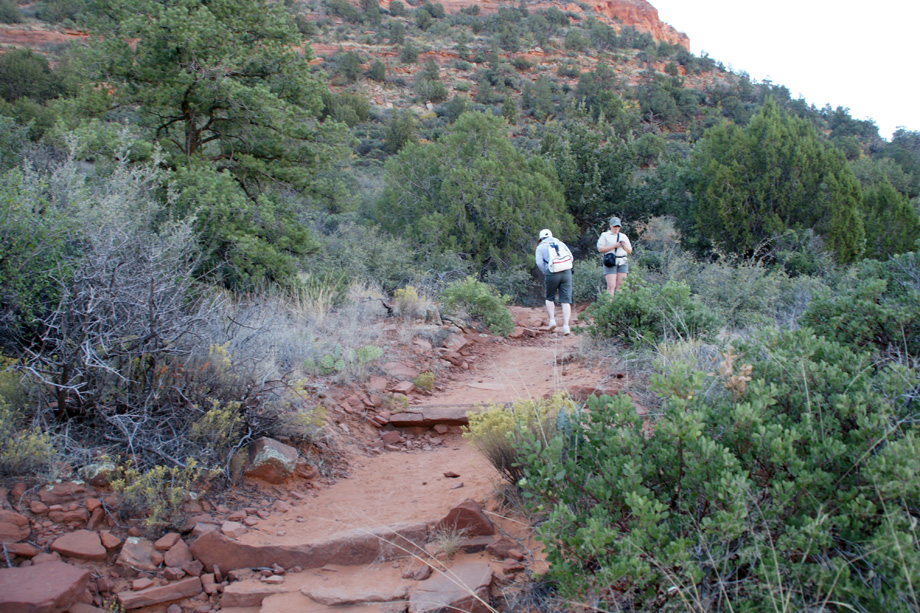
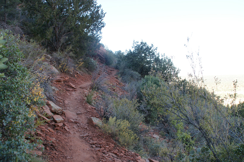
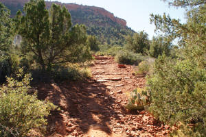
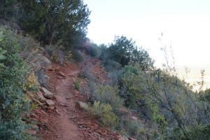
Doe Mountain Trail approaching base of mountain.


Doe Mountain Trail - Lower Segment

Doe Mountain Trail with view of top of mountain.


Doe Mountain Trail View of Top of Mountain

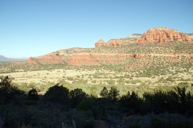
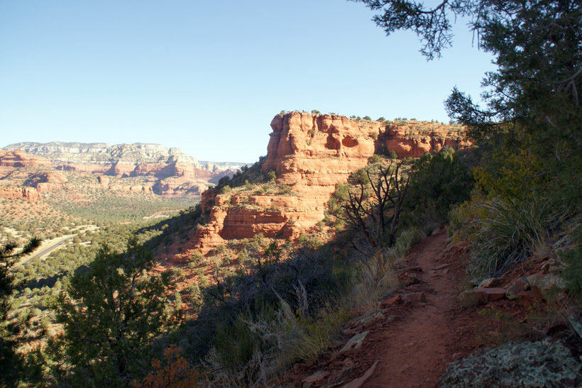
Looking north from the lower Doe Mountain Trail with a view of Bear Mountain and Boynton Pass.


View of Bear Mountain

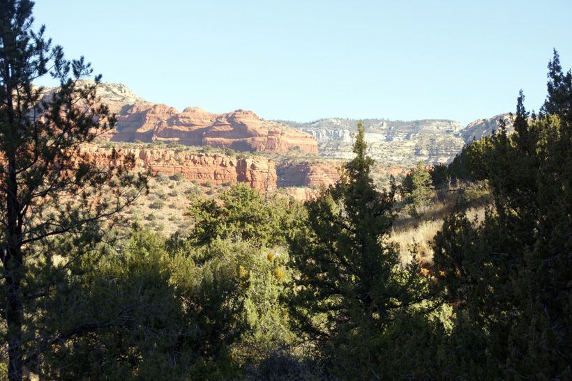
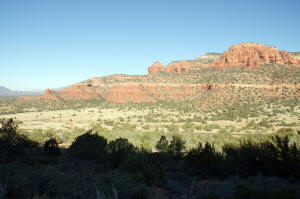
View of the southern end of Bear Mountain - Looking northwest.


View of Bear Mountain - Looking Northwest

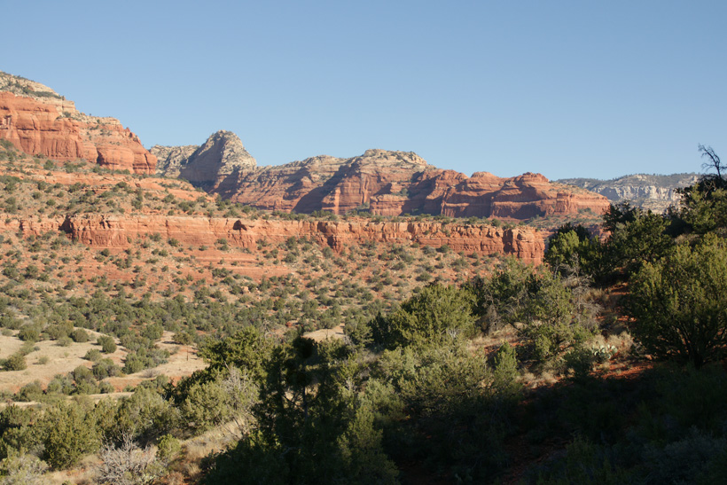
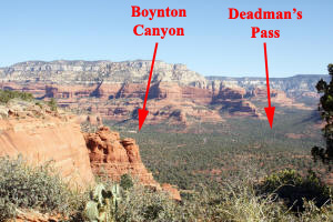
Boynton Pass and the northern end of Bear Mountain.


Boynton Pass and the Northern End of Bear Mountain

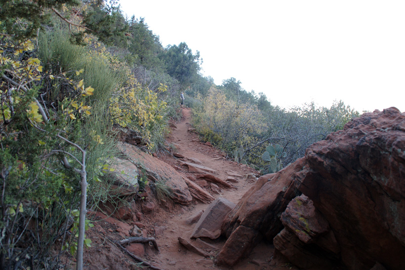
Mid Doe Mountain Trail.


Mid Doe Mountain Trial


Mid Doe Mountain Trail - 2


Mid Doe Mountain Trail - 3


Mid Doe Mountain Trail - 4

Upper Doe Mountain Trail with view of Boynton Pass.


View of Boynton Pass

Doe Mountain Upper Trail.


Doe Mountain Upper Trail

  
Go to Final Leg of Doe Mountain Trail