|
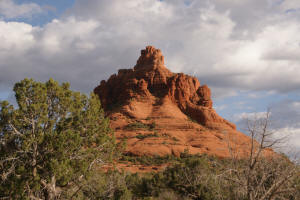
The Bell Rock Trail - The Final Ascent
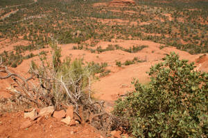
Hike to the Top
 The
hike to the top of Bell Rock has three remaining legs: The
hike to the top of Bell Rock has three remaining legs:
|
|
|
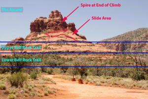
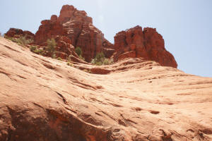
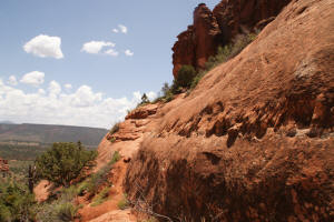
The Final Ascent
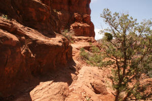
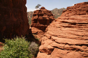
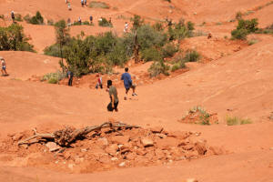
The base of the Upper Slide Area marks the
start of The Ascent portion of the climb, leading to the top of a spire
(see purple arrow).
Click on picture to enlarge
|
|
|
|
|
|
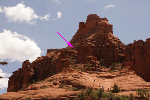
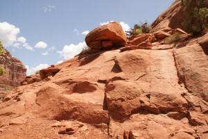
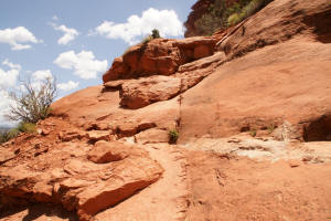
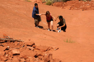
Two routes can be taken. The first is a
direct ascent up the Upper Slide Area. The hikers in the picture to the
right are going down not up the Upper Slide Area. The second
is climbing a route to the left (East - blue arrow) which winds around the
eastern portion of Bell Rock and leads to the top of the Upper Slide
Area .
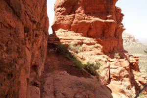
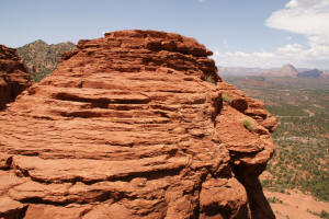
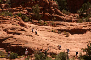
After the top of the Upper Slide Area is reached, the
route to the top of the spire (purple arrow) is shown by the blue line. This
is a moderate climb with many rock steps.
|

|
|
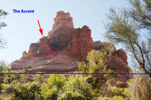
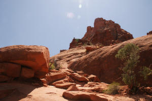
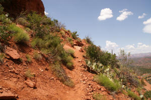
The eastern route is the easiest, leading up the
East side of
the spire and encircles it above the Upper Slide Area. From
here, it is a moderate climb to the top of the spire.
Red arrow is end of the climb.
|
|
|
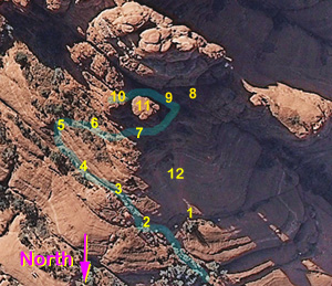
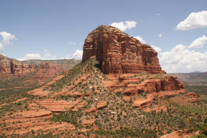
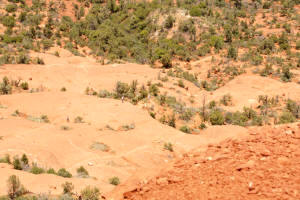
Trail View as Indexed From Aerial
Photographs: The aerial view of the upper
portion of Bell Rock is shown to the right. The numbers in
Yellow have hyperlinks and correspond to the Yellow numbers below.
Click here for a Larger View of the Right Hand
Picture
View of Final Ascent From Base of Bell
Rock Using a Telephoto Lens.
Go to Telephoto View of Final Ascent
|
|
|
(1)
The second alternate route is the Upper Slide
Area. This route is a 45 degree or greater
direct ascent up the northern face. This appears to be challenging
and possibly dangerous since footing is tenuous and hikers from
above may cause loose rocks to descend down the slope.
|
|
|
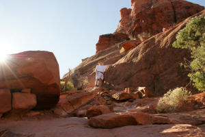
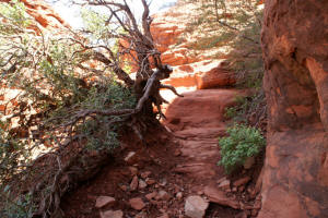
The Eastern Route:
(2)
The eastern route is to the
left of the slide area and is shown in the picture to the right. An initial five foot climb is required.
|
|
|
View of the small plateau, looking up Bell Rock.
|
|
|
(3) After the initial climb, the small plateau is
reached. The views are great in all directions.
|
|
|
View looking down Bell Rock - Eastern slope.
|
|
|
Looking back at the small plateau area.
|
|
|
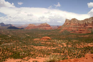
View to the East of Courthouse Butte.
|
|
|
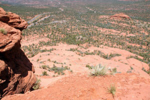
Image looking down Bell Rock - to the North.
|
|
|
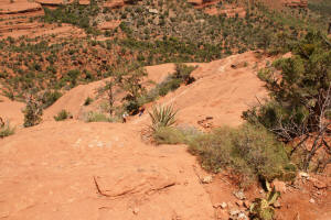
(4) View to the
South showing the next leg of the route to be taken.
A dirt footpath leads to a 10 foot rock climb.
|
|
|
(5) The 10 foot rock climb leads to a gently sloping
path to the top of the Upper Slide Area on the northern side of Bell
Rock.
|
|
|
(6) A gently sloping dirt path ascends the eastern portion of Bell Rock..
|
|
|
(7)
The path turns into a rock ledge on the northern
side of Bell Rock. This ledge leads to the to of the top of
the Upper Slide Area.
|
|
|
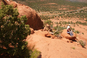
(12)
From the top of the Upper Slide Area, some daring hikers can be
seen attempting to climb up the slide.
|
|
|
(8) A short ascent leads the hiker to an alcove area.
The picture shows a view looking to the West.
|
|
|
(9) On the eastern side of the alcove, rock steps
lead to the top of the spires.
|
|
|
(10)
Two spires are on the eastern side. This
view is looking West toward the alcove from the base of one of the
spires. To the left, is Bell Rock. The spire in the
center of the picture is on the West side of the alcove. The
spire on the right side of the picture is on the East side of the
alcove
|
|
|
(11) This picture is taken from the top of one of the
spires, looking north. Rock steps are seen leading up the northern spire.
|
|
|
View from on top of a spire looking
North.
|
|
|
(10)
View from on top of a spire looking down and to
the north.
|
|
|
View from on top of the spire, looking directly down.
|
|
|
One may descend the way you came or go down the
slide area. If the latter is chosen, it is safest to go down on
all fives (hands, feet and bottom).
|
|
|
|
|
|
More About the Bell Rock Trail:
|
|
|
Use the Links Below to Go to Home Page of
Additional Hiking Trails:
|