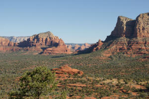
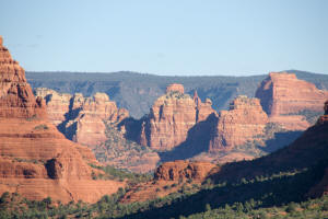
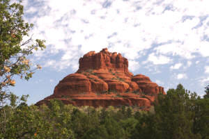
Cathedral Rock


Return To Home Page
  
The Beginning of Bell Rock Trail
  
Route to the Top of Bell Rock Spire
    
Final Ascent of Bell Rock
 
Courthouse Butte Loop
 
Bell Rock Pathway
 
Flowers and Wildlife

Bell Rock, Sedona Arizona

 
This website is not designed to provide directions or navigation of the trails but solely intended to give you an idea what you may see and experience on the hikes.  


The Bell Rock Trail - Introduction 

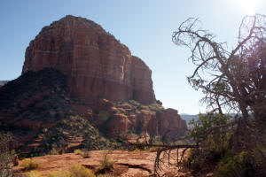
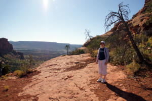
This trail is approximately 0.75 miles long and ascends the northern face of Bell Rock. The trail is well marked as it leaves the Bell Rock Pathway. The trail is marked with cairns and midway up it forms a small loop. That being said, the area was crowded and many people were climbing the rock seeing how far they could go. Some hikers scaled the slippery central Slide area (see figure below). To the left (East) of the Slide area is another area where one can climb higher-- see red line in below figure. Some hikers climb this route to ascend to the top of one of the spires. Again, experience is required. This is a strenuous dangerous hike and not for the fair hearted. However, once the top is reached, the views are spectacular.  --  See picture to the right {Baby (Northern) Bell Rock is in the middle of the valley}. 

Note: All trail maps are designed to give the hiker an idea what he/she will encounter. They are not designed for navigation or to be used as a source of directions for a hike. 

The hike can be divided into four sections:


It is best to start the Hike Up Bell Rock from the Courthouse Vista (Northern Bell Rock) Parking Lot.  To view the details of hiking Bell Rock Trail click on the link below:

Bell Rock Trail to the Top of The Spire


Below are some of the fantastic views which can be seen on the hike: 

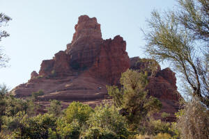
Looking up the northern face of Bell Rock.  Note the central slide area where hikers are trying to ascend. 

  Click on Pictures to Enlarge


Bell Rock Northern Face 

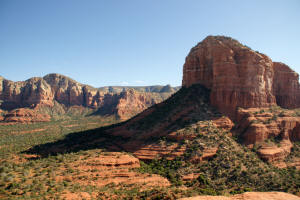
Looking east from the trail leading from the Courthouse Vista Parking Lot (just north of Bell Rock) to Bell Rock.


Approaching Bell Rock - Looking East 

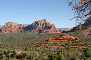
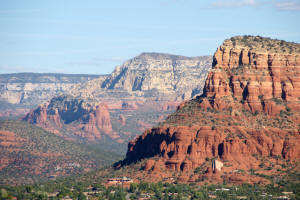
Ascending up Bell Rock Trail.   Looking north shows Baby (Northern) Bell Rock, a large mid-valley rock formation,  and one can make out the Chapel of the Holy Cross on the left hand side of the picture below the western butte of the Twin Buttes. 


Looking North 

Looking up the northern face of Bell Rock.


Bell Rock - Northen Face 

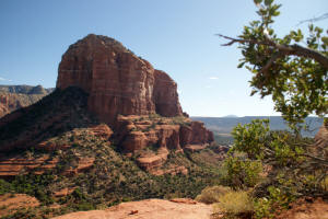
View of the western face of Courthouse Butte


West Side Courthouse Butte 

Midway up Bell Rock looking south.


Bell Rock Looking South 

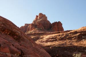
View of the top of Bell Rock


Bell Rock - View of Top 

View to South


View to South - Bell Rock 

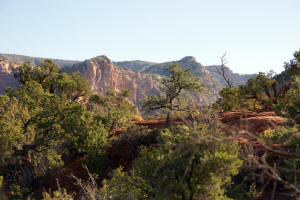
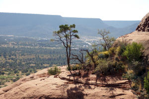
View to the north from Bell Rock. Note Baby (Northern) Bell Rock, the large mid-valley rock formation. The valley near the horizon is the pass which contains Chicken Point. The pass will lead to Submarine Rock

 
View To North from Bell Rock 

A close up view of the mid-portion of the above picture reveals the pass that contains "Chicken Point." 


View of Chicken Point Pass 

Close up view to the North.


View to the North 

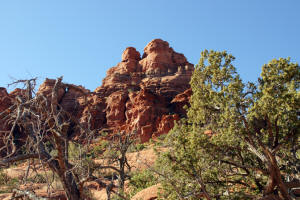
View of the top of Bell Rock.


Bell Rock View of Top 

Western face of Courthouse Butte.


West Face of Courthouse Butte. 

View to the West of the valley just north of Courthouse Butte - higher up.


Courthouse Butte 

View to the North - higher up.


Bell Rock - Northern View 

Chapel of the Holy Cross


Chapel of the Holy Cross 

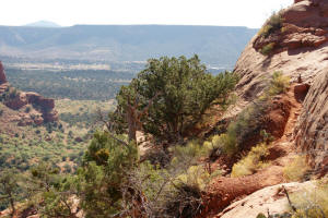
View to the South from the first portion of the final ascent to a Spire on the top of Bell Rock. Note the narrow short dirt foot path which leads to a 10 foot rock climb.


View to the South


Continue Hiking Bell Rock Trail:   
 

Use the Links Below to Go to Home Page of Additional Hiking Trails: