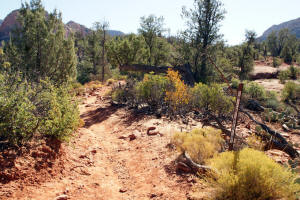
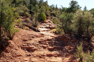
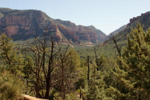
The Broken Arrow Trail now ascends 0.5 miles in a moderate climb to
Mushroom Rock and
Chicken Point
vistas. Good footing with many rock steps. (
Go To beginning of Broken Arrow Trail )
|
|
|
|
|
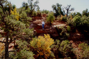
The trail leads South (take
the branch to the right).
|
|
|
|
|
|
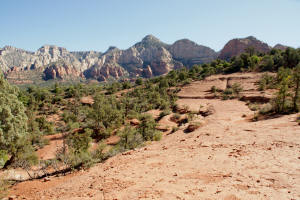
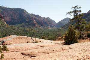
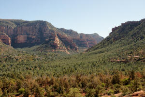
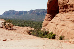
View to the Southeast.
|
|
|
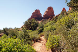
The trail is marked with
cairns and ascends using rock steps.
|
|
|
|
|
|
|
|
|
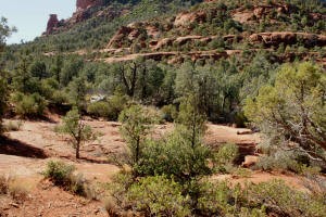
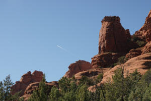
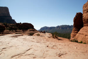
View to the North, back down
the trail traveled.
|
|
|
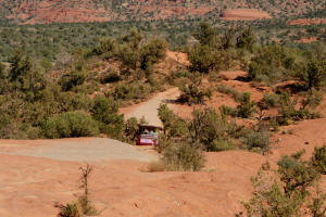
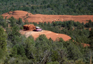
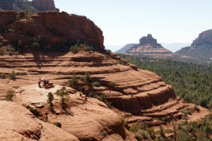
Pink Jeep descending after
visiting Chicken Point and the Mushroom Rock
Vista.
|
|
|
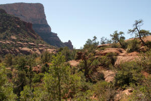
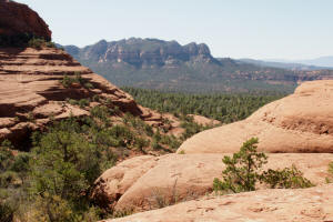
View to the North from just
above Mushroom Rock.
|
|
|
View to the Southwest
|
|
|
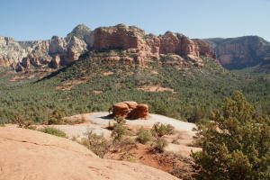
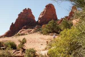
View of Mushroom Rock Vista. The jeeps go around this rock on their tour.
|
|
|
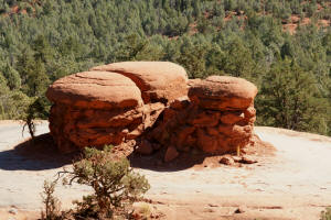
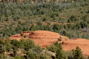
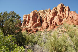
Mushroom Rock
|
|
|
Pink Jeep going around Mushroom Rock
note submarine rock in the background. Click on Picture to Enlarge.
|
 |
|
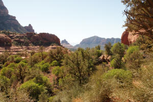
Submarine Rock - A view of
Submarine
Rock can be seen.
|
|
|
The final leg to Chicken
Point.
|
|
|
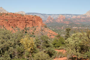
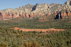
Looking south with Lees
Mountain to the left of the canyon.
|
|
|
The trail now approaches
Chicken Point.
|
|
|
|
|
|
|
|
|
View to the Southeast.
|
|
|
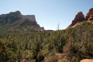
Eastern butte of the Twin
Buttes (view to the West).
|
|
|
As one enters the pass,
Bell
Rock can now be seen on the horizon.
|
|
|
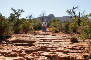
A view of
Bell
Rock from
Chicken Point (hikers are on the vista).
Chicken Point is at the end of the Jeep Trail.
Some locals attribute its name to the reluctance
of drivers ( and rightly so) to drive their
jeeps around the center rock of the point.
|
|
|
View (looking West) from the northside of
Chicken Point.
|
|
|
Chicken Point Vista.
|
|
|
View (looking West) from the
southside of Chicken Point.
|
|
|
Continuation of Hike:
Little Horse Trail to Chapel Trail
to the Chapel of the Holy Cross.
|
|

