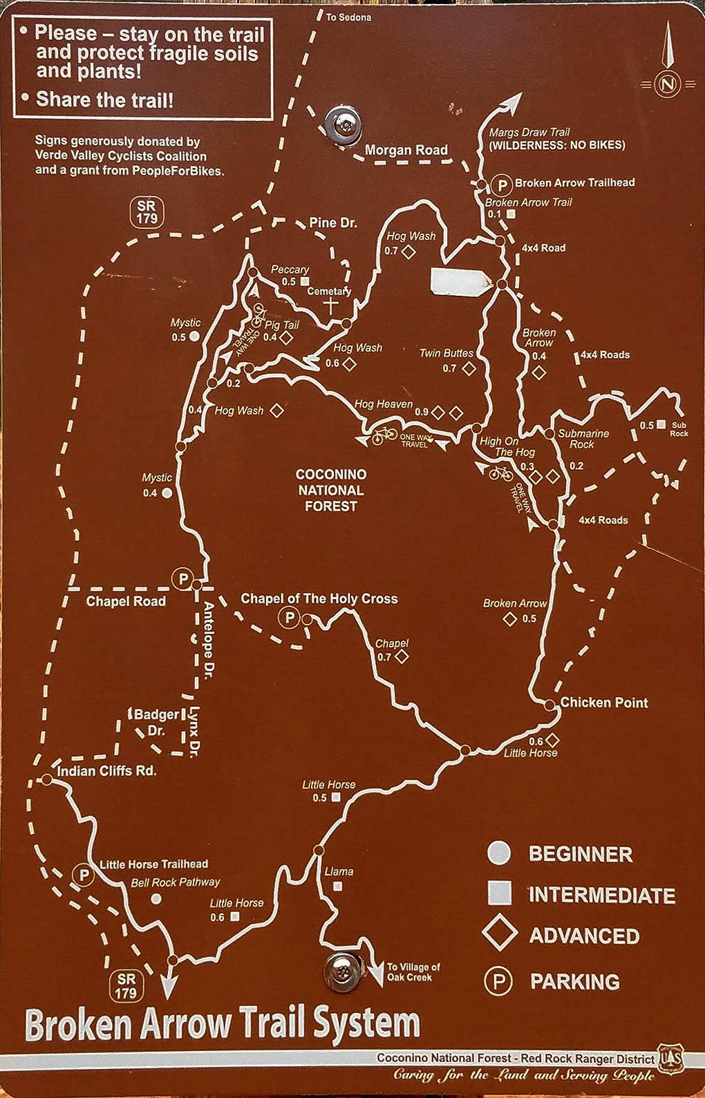
Mystic Trail, Highway 179 & Morgan
Road
1.9 Miles (0.9 Miles Trail, 1.0 Miles Road)
|
|
From the Chapel of the Holy Cross, a short half
mile hike down Chapel Road will lead to the
Mystic Trailhead on the right side (north) of
the road. Public restrooms are located at the
base of the Chapel of the Holy Cross parking
lot.
Mystic Trail
is an easy hike of approximately one mile in
length. After this, a subdivision is reached and
aone mile hike back to the Broken
Arrow parking lot via Highway 179 and Morgan
Road. Click on Pictures to Enlarge.
|
|
|
New trails allow for an
alternative route that avoids hiking HWY 179 and
Morgan Rd. Instead one can now take Hog
Wash Trail which Joins Mystic Trail after 0.4
miles. Two alternatives exist to
return to the Broken Arrow Parking Lot:
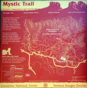
View Trail Map
1)
Hog Wash Trail will take you back to
Broken Arrow Trail and from there a short hike to the Broken
Arrow Parking
Lot.
2) Or After hiking
Hog Wash Trail for
0.6 Miles it will join with Hog Heaven Trail. Hog Heaven
can be taken to Twin Butte Trail which will then Broken Arrow
Trail. From there it is just a short hike to the Broken
Arrow Parking Lot.
|
 |
|
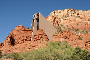
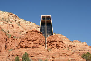
Chapel of the Holy Cross as
viewed from Chapel Road
|
|
|
|
|
|
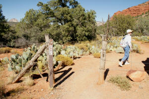
Mystic Trail Trailhead is on
the right (north) as one hikes down Chapel Road.
|
|
|
|
|
|
|
|
|
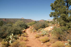
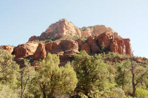
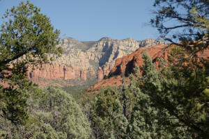
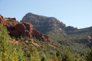
View of the western butte of
the Twin Buttes.
|
|
|
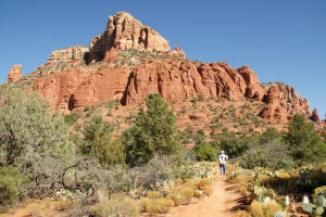
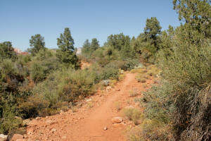
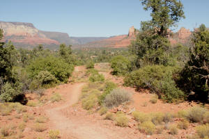
Heading north on Mystic
Trail.
|

|
|
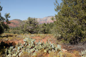
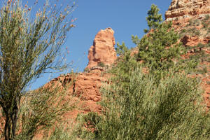
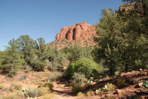
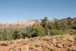
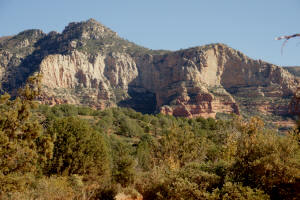
Views of rock formations from
Mystic Trail.
|
|
|
|
|
|
On the left is the mesa on
top of which is the Sedona Airport.
|
|
|
|
|
|
|
|
|
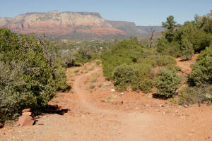
A view in the distance of
downtown Sedona from Mystic Trail.
|
|
|
|
|
|
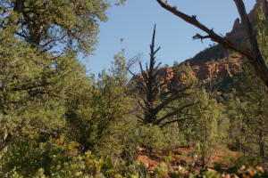
View to the East.
|
|
|
View of downtown Sedona to
the north.
|
|
|
View to the Northeast.
|
|
|
View to the East.
|
|
|
|
|
|
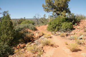
The next 1 mile to Broken
Arrow Parking Lot, follows roads.
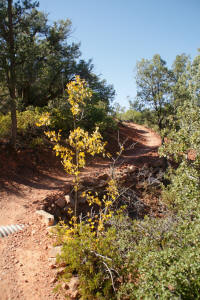
Northern End of Mystic Trail
at Junction with Pine Drive. From Pine Dr. hike
to Pine Knolls Dr. and then to Highway 197. Take
Highway 179 North towards Sedona. At the traffic
circle take a right on Morgan Road (East).
|
|
|
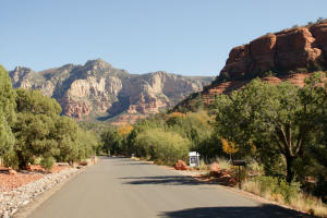
Morgan Road will lead to Broken
Arrow parking lot.
|
|
|
View to South from Morgan
Road.
|
|
|
View to the East from the end
of Morgan Road. From here follow Morgan
Road back to Broken Arrow Parking Lot.
|
|
|
|
|
|
Go Back to Home Page
|