|
|
|
|
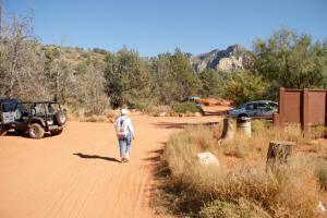
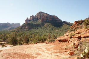
Parking lot Broken Arrow
Trail.
Click on Pictures to Enlarge
|
|
|
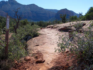
Broken Arrow Trail trailhead.
|
|
|
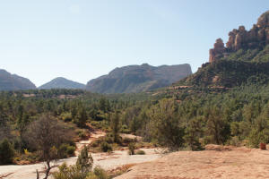
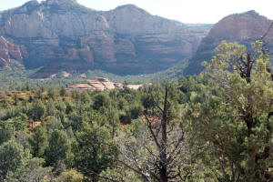
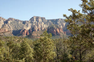
The view to the west at the
start of the Broken Arrow Trail.
Below are some bikers on the Butte's slope.

|

|
|
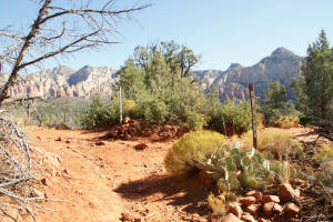
View to the south.
|
|
|
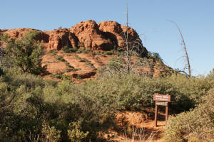
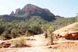
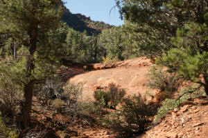
First part of the trail is an
easy hike.
|
|
|
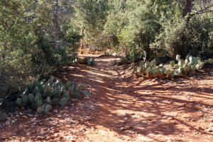
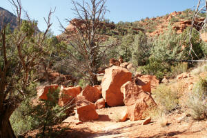
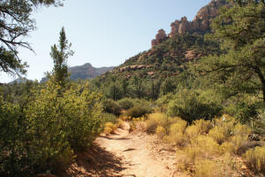
Cairns mark the trail as you
traverse flat rocks. Note Submarine Rock
just barely be seen above the lower tree line,
to the right of the distant cairn.
|
|
|
View to the northeast.
|

|
|
Trail uses rock steps to
ascend around the first rock.
|

|
|
View to the west of the top
of the first rock you are passing.
|
|
|
View to the south as the
trail continues around the rock into the Devil's
Dining Room.
|
|
|
Submarine Rock - Distant view.
|
|
|
|
|
|
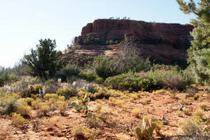
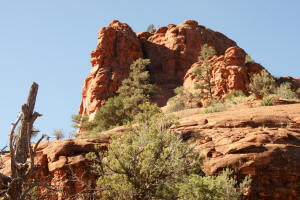
View of the eastern butte of
the Twin Buttes. Broken Arrow trail will
ascend and pass to the east (left) of this butte
as it nears Chicken Point.
|
|
|
View to north from Broken
Arrow Trail.
|
|
|
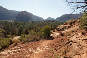
View to the north across
Marg's Draw
|

|
|
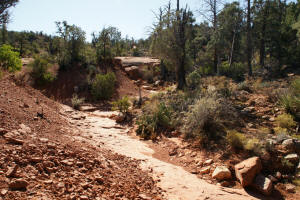
The trail traverses a rock
slide.
|
|
|
Cairns mark the trail as one
enters the Devil's Dining Room.
|
|
|
Looking back (northeast) across Marg's Draw
|
 |
|
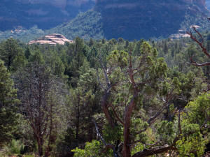
Looking east at Submarine
Rock. Munds Mountain can be seen on the
horizon.
|
|
|
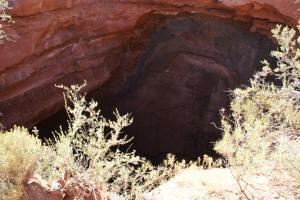
At approximately 0.65 miles,
the Devil's Dining Room Sinkhole is encountered.
It is approximately 25 feet across and very
deep. The bottom cannot be seen
|
|
|
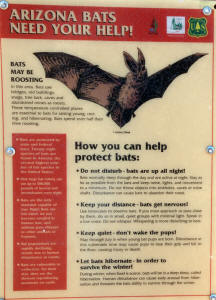
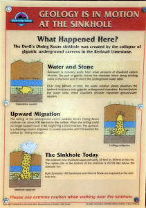
Signs explaining the Devil's
Dining Room Sinkhole.
|
|
|
Looking east at Munds
Mountain.
|
|
|
|
|
|
The trail now starts to round
the eastern butte of the Twin Buttes.
|
|
|
|
|
|
At about one mile from the
parking lot, the trail divides. The main
trail heads to the left and leads another 1/2
mile to Chicken Point. The trail straight
ahead leads to
Submarine Rock.
|
|
|
|
|
|
Continuation of Hike:
Go to last
half of trail and views from Chicken Point
|

