|
..
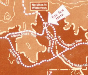
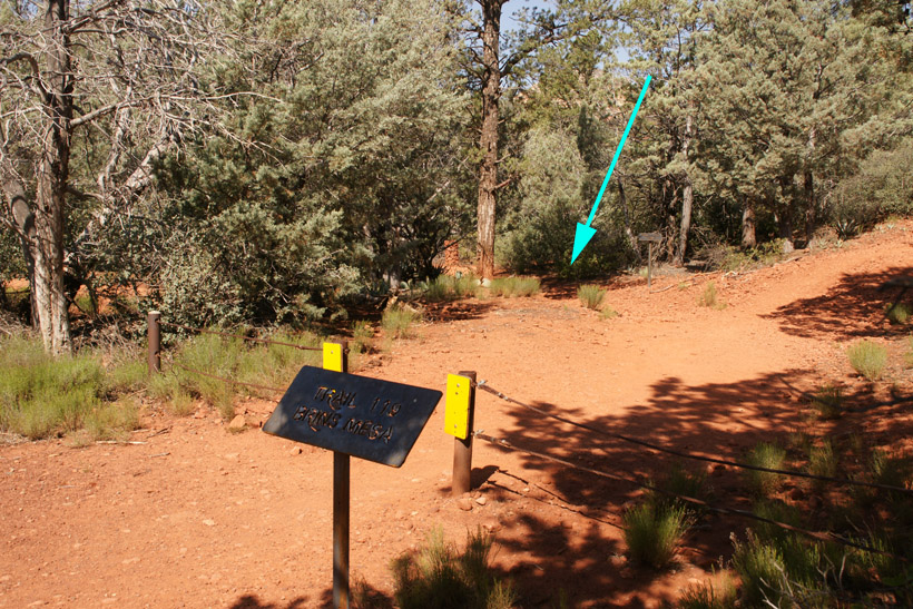
The Cibola Pass Trailhead in 2009 branches to the
left in the first section of the Brins Mesa Trail. The first
branch to the left is Jordan Trail, the second is Cibola Pass Trail. The arrow denotes the Brins Mesa Parking Lost.
|
|
|
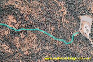
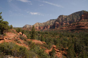
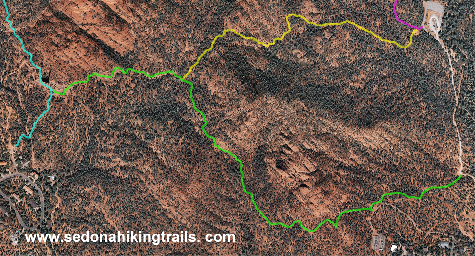
Aerial view of eastern side of Cibola Pass
|
 |
|
Cibola Pass Trail starts just passed the Brins
Mesa Trailhead
 The OLD Cibola Pass Trailhead (2008 and before) is
shown on the picture on the right, it was located just South of the Brins Mesa parking lot. The OLD Cibola Pass Trailhead (2008 and before) is
shown on the picture on the right, it was located just South of the Brins Mesa parking lot.
|

|
|
|
|
|
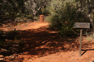
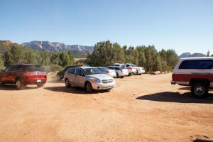
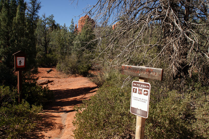
Cibola Pass Trailhead
|
|
|
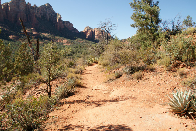
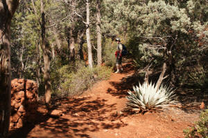
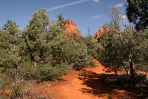
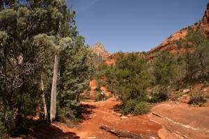
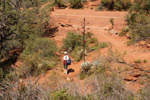
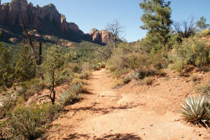
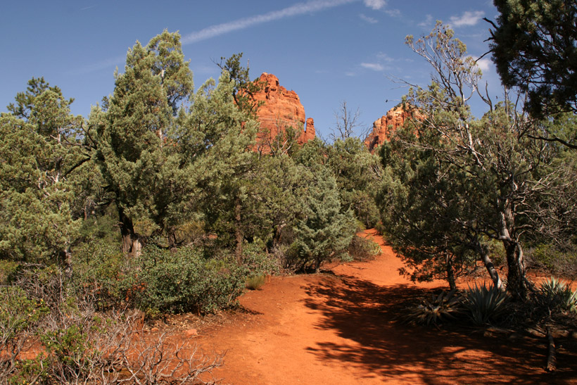
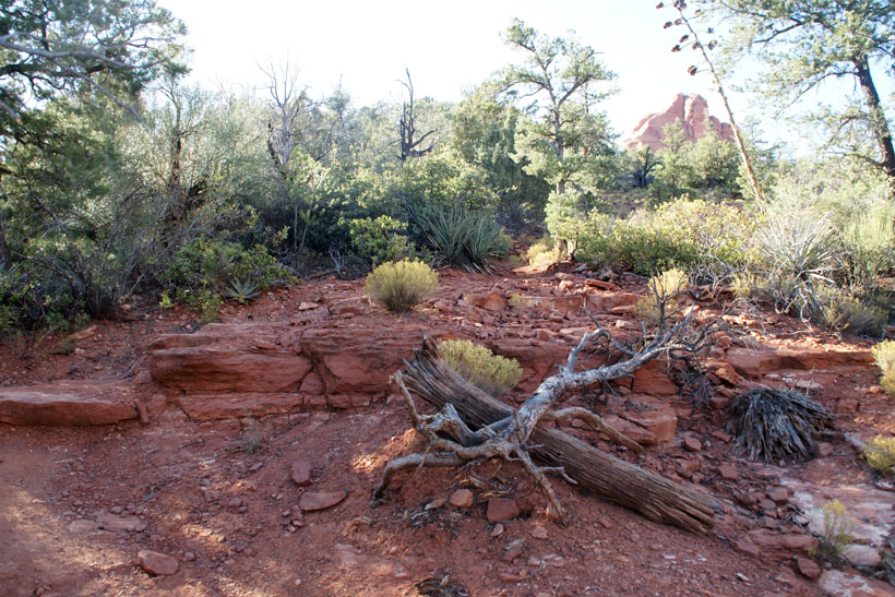
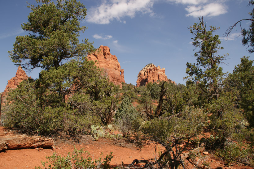
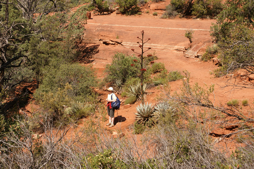
This initial trail is an easy flat walk
|
|
|
|
|
|
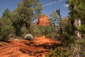
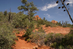
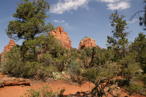
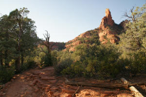
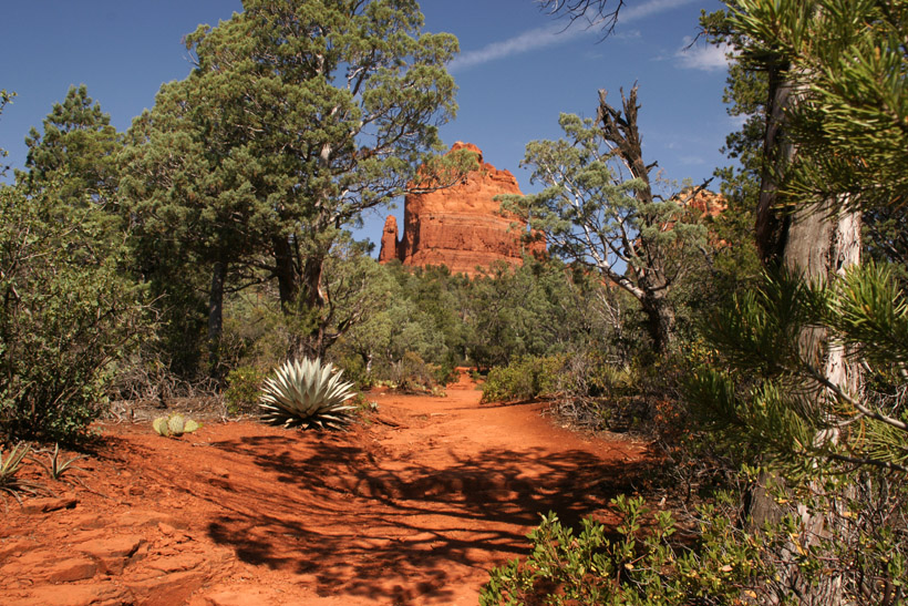
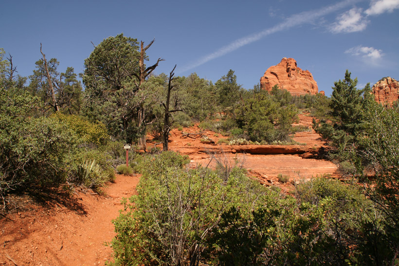
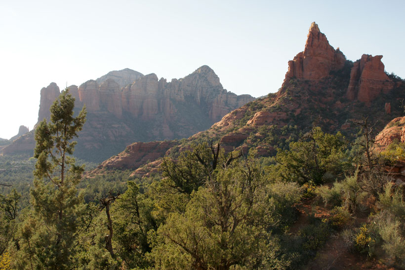
The Mitten Rock Formation starts to come into
view.
|
|
|
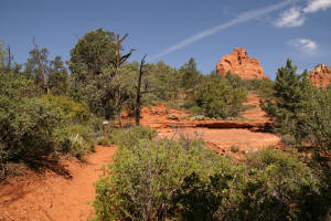
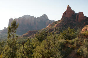
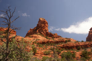
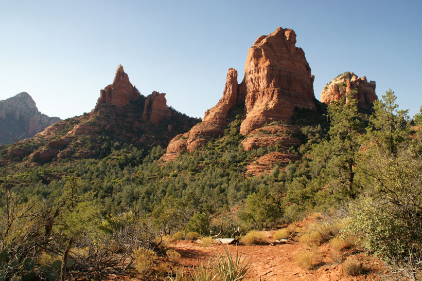
This Mitten Rock Formation can be clearly seen.
|
|
|
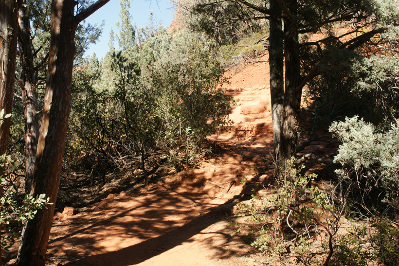
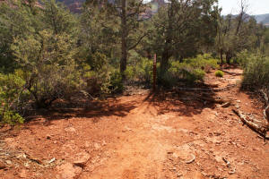
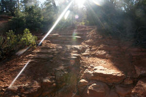
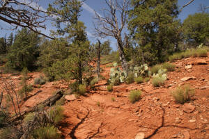
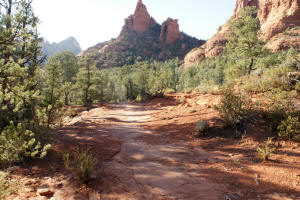
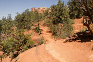
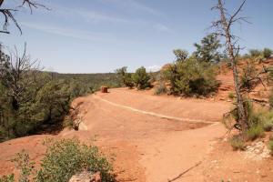
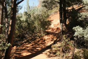
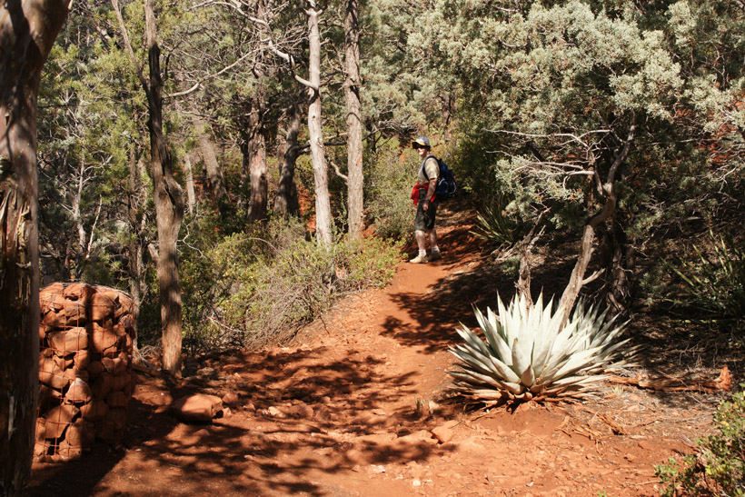
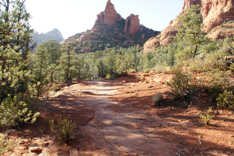
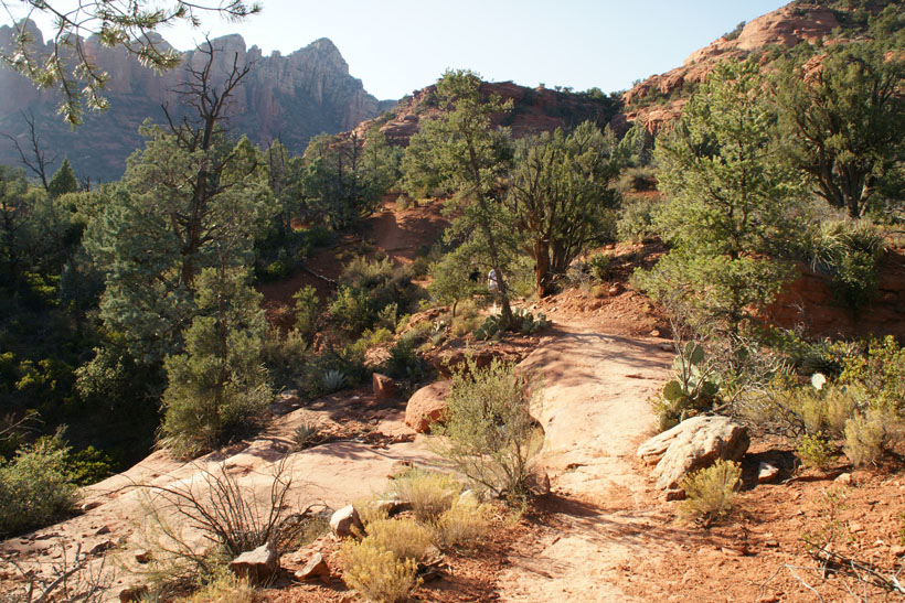
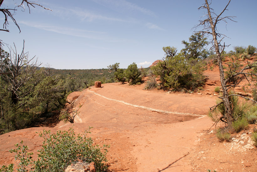
The trail enters the "Wilderness Area" and
a moderate climb is ahead. |
|
|
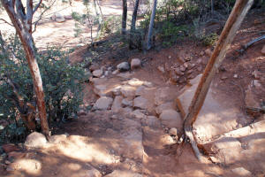
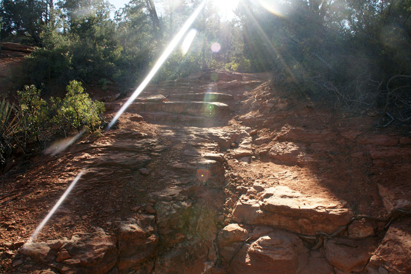
Several rock steps are taken to ascend the trail.
|

|
|
|
|
|
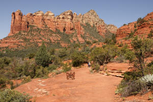
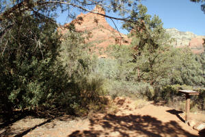
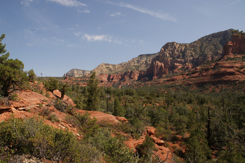
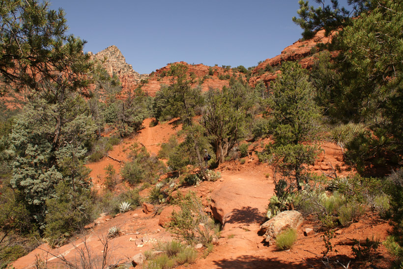
A view to the North just below the top of Cibola
Pass.
|
|
|
|
|
|
Approaching the top of Cibola Pass.
|
|
|
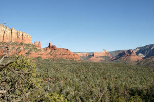
View to the East from the top of Cibola Pass.
|
|
|
On the top of Cibola Pass. Next the hike
will descend down the West side.
|
|
|
A view to the West from the top of Cibola Pass.
|
|
|
|
|
|
Hiking down the West side of Cibola Pass Trail.
|
|
|
|
|
|
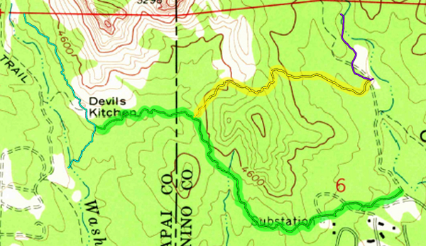
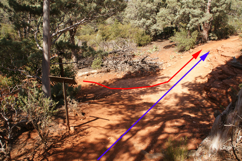
Cibola Pass Trail (blue arrow) joins Jordan Trail (red arrow) for a short hike
West to the
Devil's Kitchen Sinkhole.
|

|
|
|

|
|
|
|
|
|
|
|
|

|
|
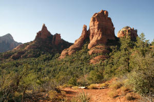
The Sphinx Rock Formation.
|
|
|
|
|
|
|
|
|
|
_small.jpg)
|
|
Looking West, one can barely see Chimney Rock.
|
_small.jpg)
|
|
|
|
|
The Devils Kitchen Sinkhole is reached.
|
|
|
The trail to the Soldier Pass parking lot is to the
left (South). It is well marked with a sign and cairns.
These next set of photographs are taken in the
opposite direction. (Looking back, as if one is hiking from
Soldier Pass parking lot to the Devil's Kitchen Sinkhole.)
|
|
|
Hike down to a streambed.
|
|
|
Hike out of the streambed to the trailhead and
parking lot.
|
|
|
Soldier Pass Trailhead. Note, the hiker's
registration box. The Sphinx Rock Formation can be seen in the
background.
|
|
|
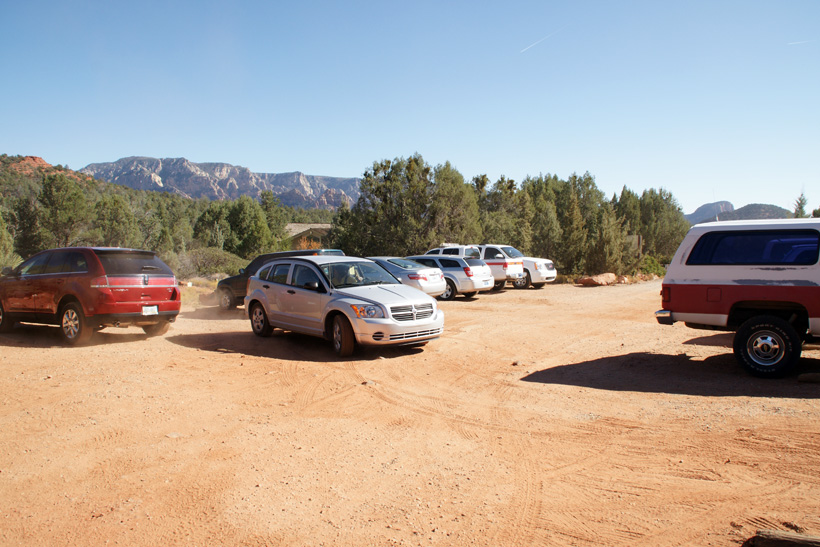
Soldier Pass Trail parking lot. This lot
closes at 6:00 pm and the gate is locked.
|
|
|
Return to Home
Page
|


.jpg)
.jpg)