|
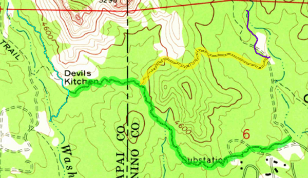
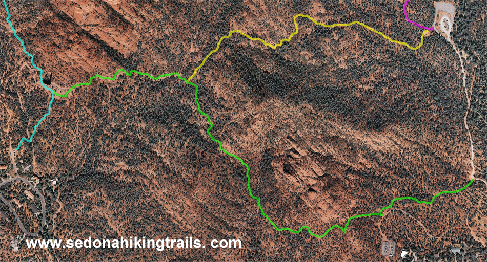
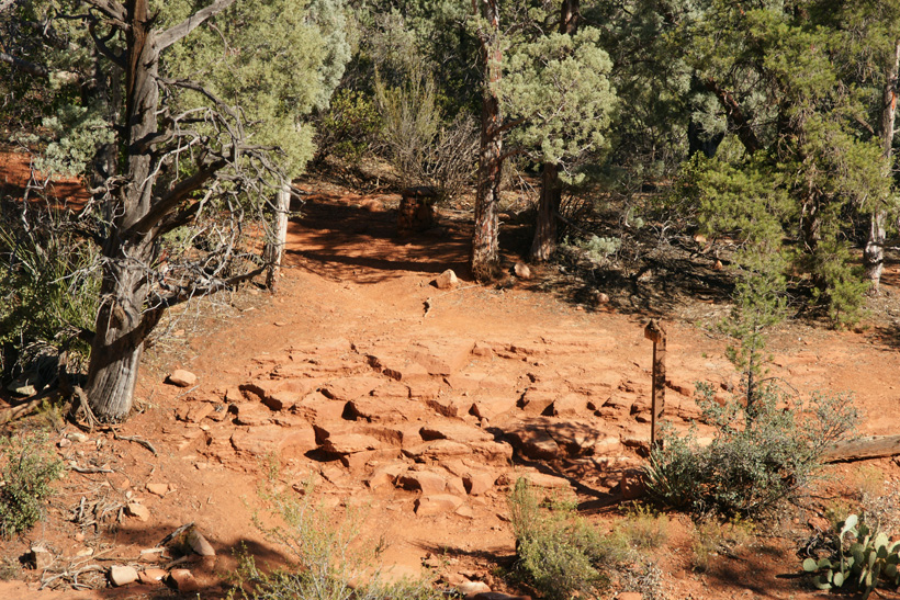
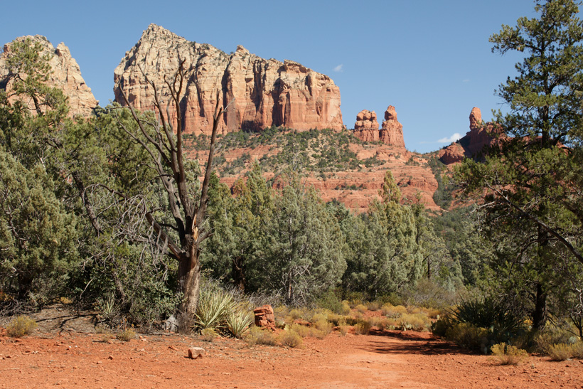
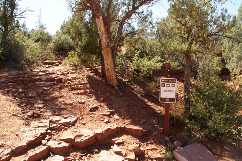
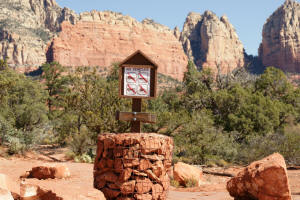
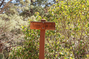
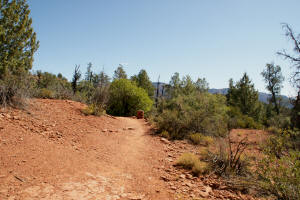
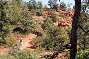
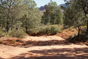
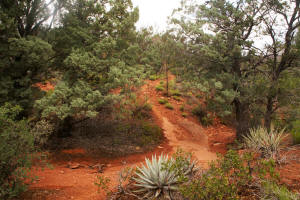
Western Trailhead for Jordan Trail by Devil's Kitchen
Sinkhole
|

|
|
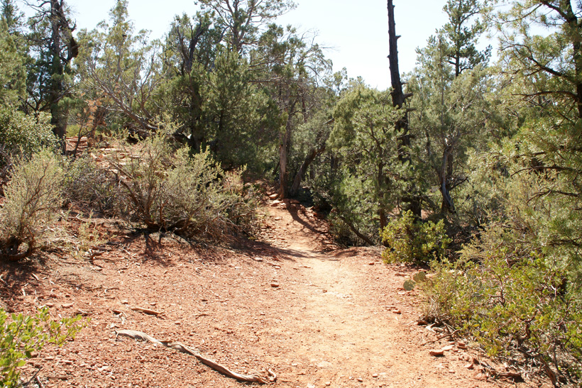
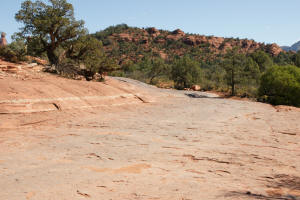
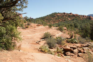
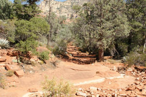
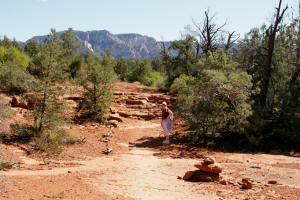
Jordan Trail near Devil's Kitchen Sinkhole.
|
|
|
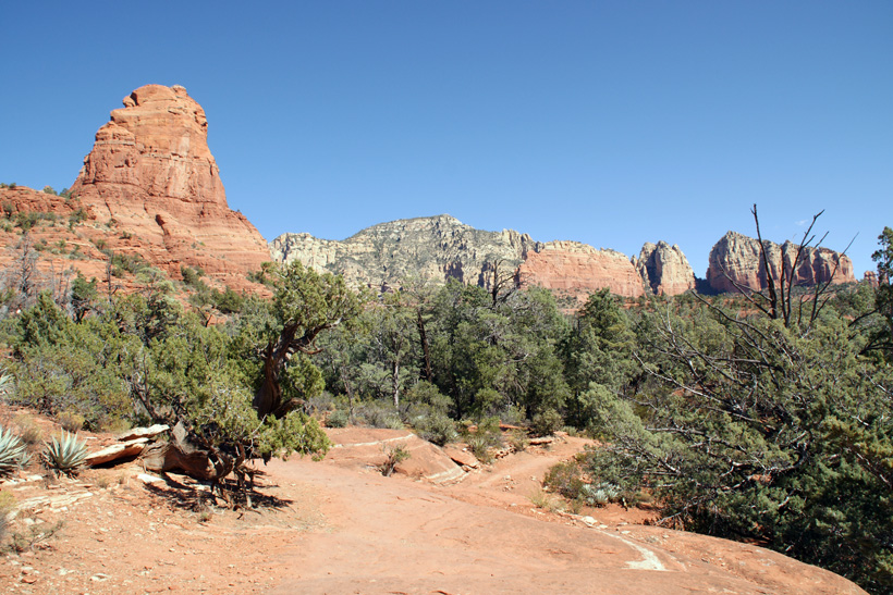
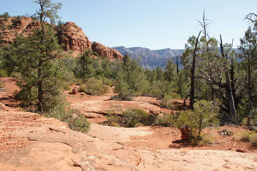
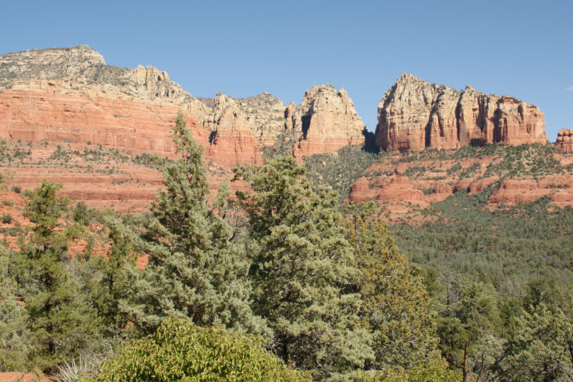
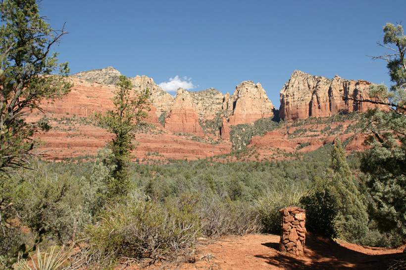
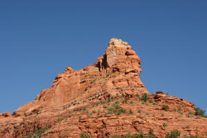
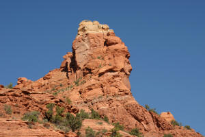
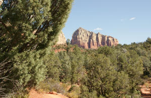
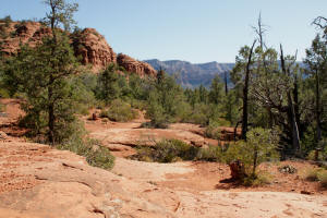
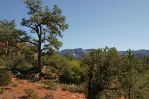
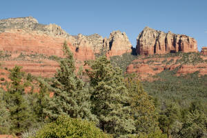
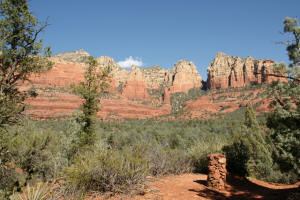
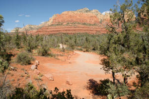
The Sphinx Rock Formation can be seen from this portion of the
trail.
|
|
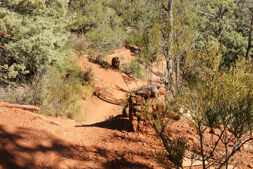
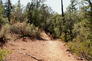
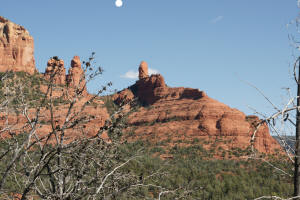
Heading East, just pass Devil's Kitchen Sinkhole.
|
|
|
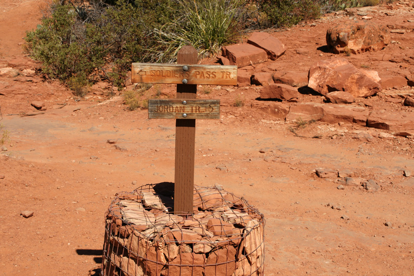
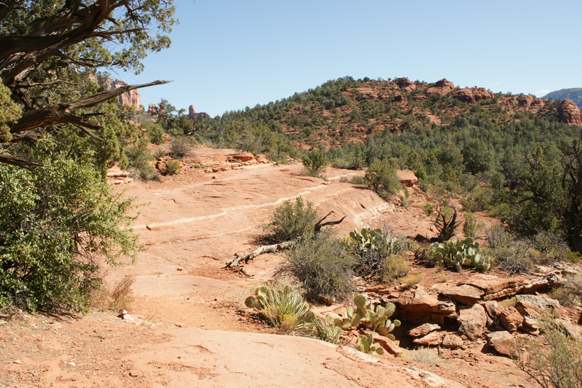
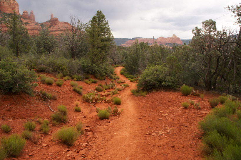
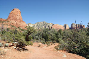
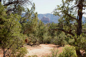
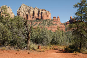
The small knoll on the horizon separates Cibola
Pass Trail which will go to the left (North) of the knoll and Jordan
Trail which will go to the right (South) of the knoll. Cibola
Pass Trail branches off Jordan Trail at the base of the knoll.
|
|
|
|
|
|
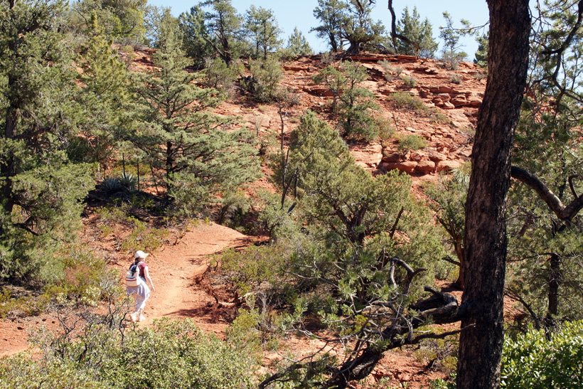
Hiking toward the base of the knoll.
|
|
|
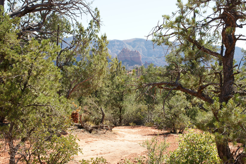
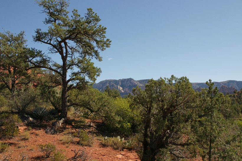
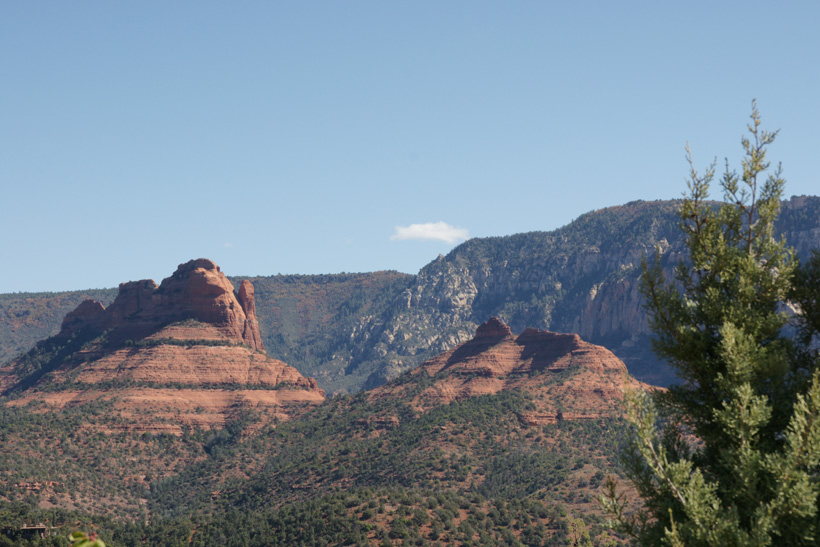
View to the East.
|
|
|
|
|
|
|
|
|
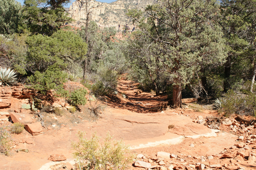
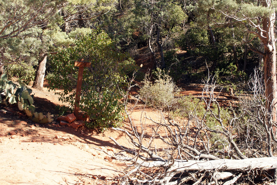
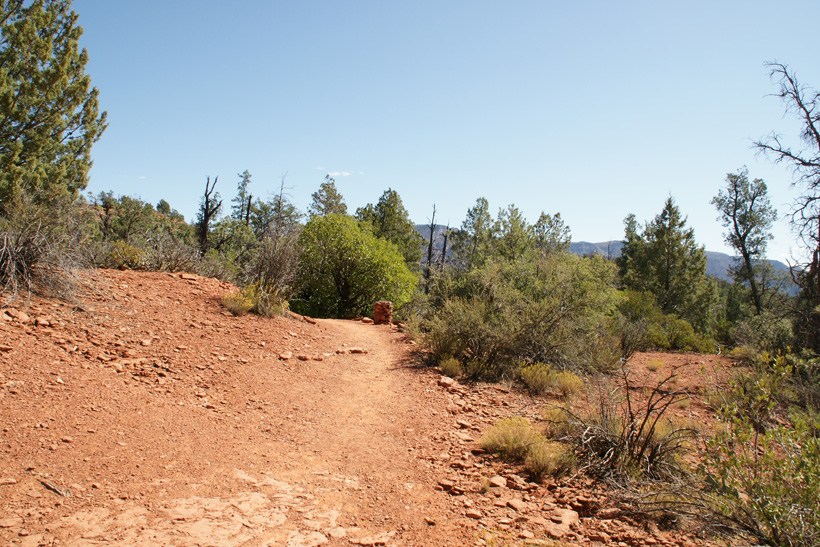
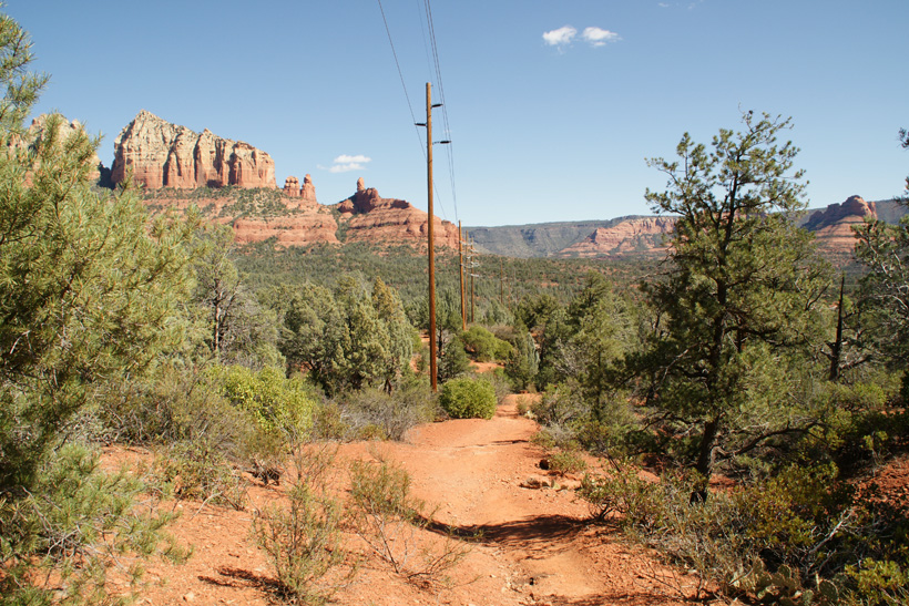
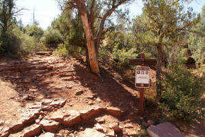
Jordan Trail before Cibola Pass Trailhead
|
|
|
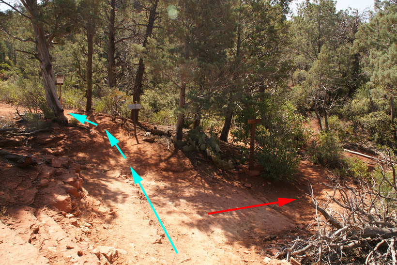
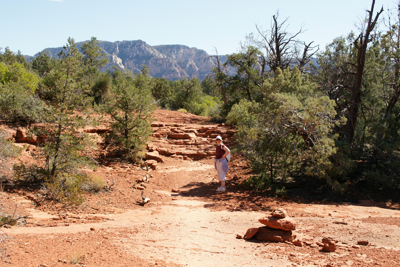
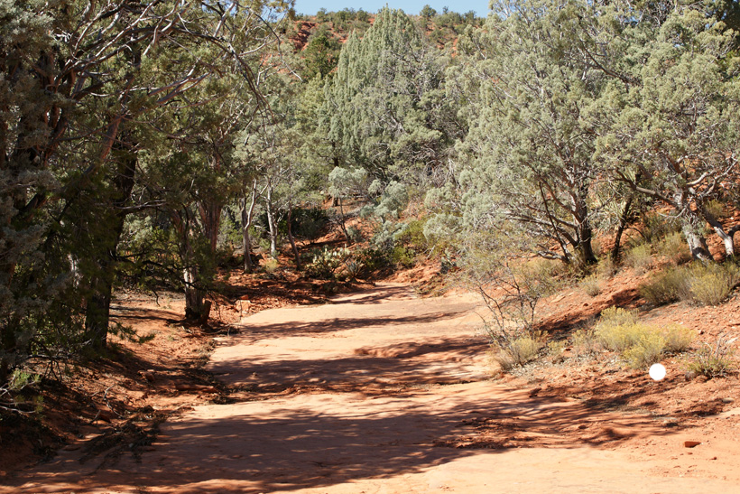
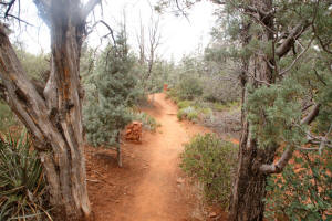
Second Half of Jordan Trail
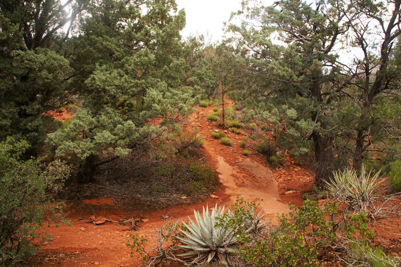
Trail branches.
|
|
|
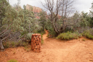
Taking the branch to the right
(red arrow) will lead you on a
one mile hike to West Park Ridge Drive Trail Junction and the old Brins Mesa Parking Lot.
|


|
|
The second half of
Jordan Trail is initially flat but soon ascends in a moderate hike.
|
|
|
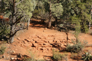
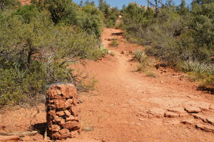
Cairns mark the trail.
|
|
|
The trail leads East. Note the cairn which
marks the trail.
|
|
|
|
|
|
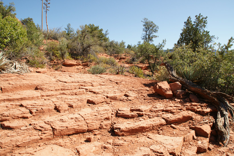
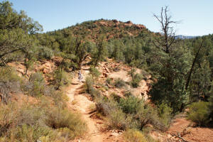
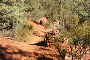
One ascends Jordan Trail using rock stepping
stones.
|

|
|
|
|
|
Cairns mark the gentle ascent of the trail.
|
|
|
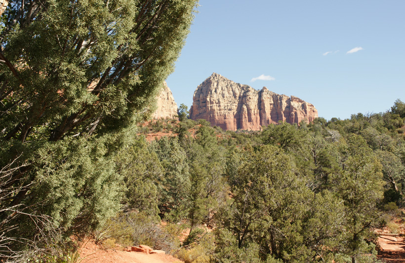
View to the East
|
|
|
|
|
|
View to the Northeast as one descends on the east
side of Jordan Trail.
|
|
|
View to the East.
|

|
|
The trail then follows utility lines.
|

|
|
Close up view to the East of above photograph.
|
|
|
|

|
|
View to the Northeast.
|
|
|
|
|
|
The trail continues downhill. The picture
on the right shows the view to the Northeast and a cairn marking the
trail.
|
|
|
|

|
|
|
|
|
|
|
|
A small unmarked side trail (as of 5/26/2009) is
seen just before the trail ends. Presumably, this leads North
to the Brins Mesa parking lot.
|
|
|
At the Old Brins Mesa parking lot
the trail has a junction with the West Park Ridge Drive. There is a
final portion of the Jordan Trail which follows the
road up (North) for approximately 0.4 miles to the new Brins Mesa parking lot.
|
|
|
|
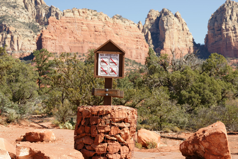
Eastern trailhead of Jordan Trail
On West Park Ridge Dr.
|
|
|
|
|
|
|