Brins Mesa Trail
Hiking Northwest From Brins Mesa Parking Lot
|
|
|
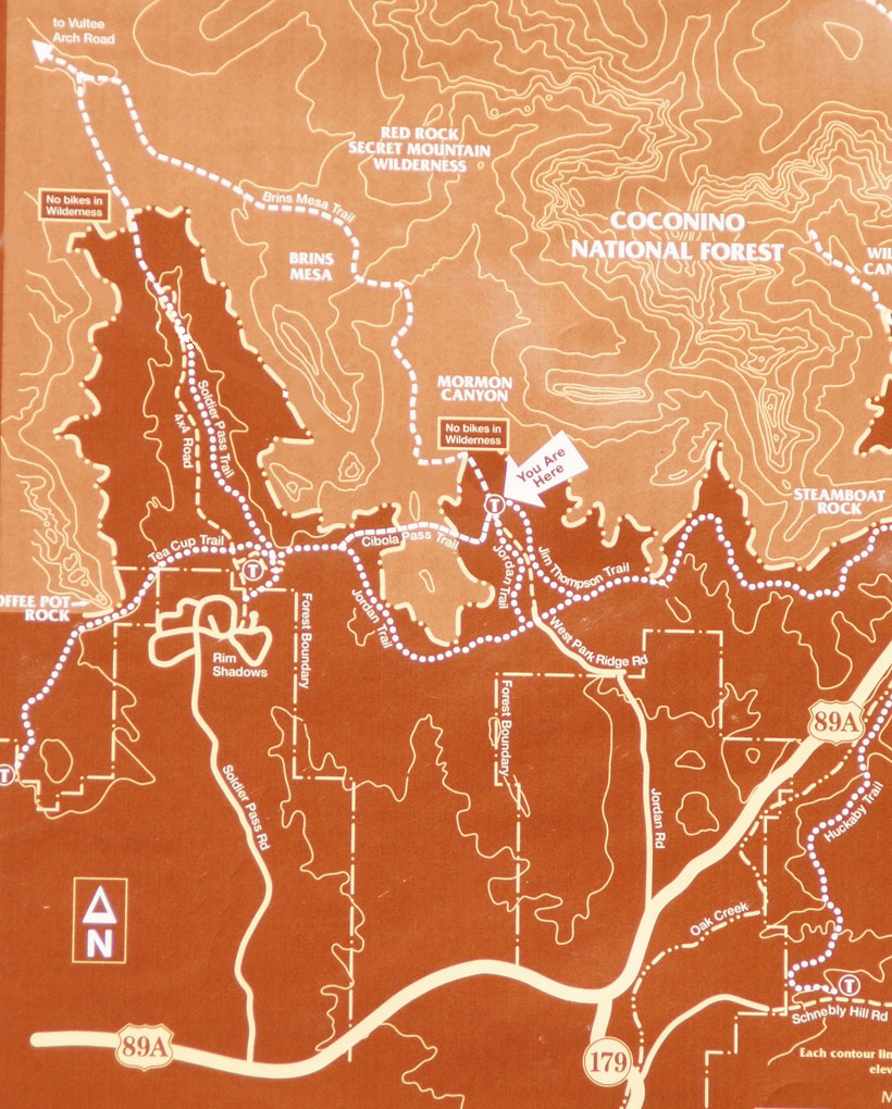
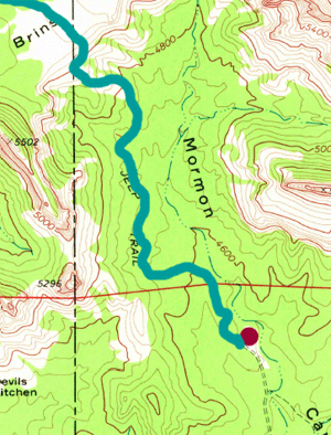
Brins Mesa Trail is a moderate hiking trail with an elevation gain
of 600 feet in approximately a mile and a half climb. The
entire trail is about three miles but on this loop hike, the Soldier
Pass Trailhead is reached in 2 1/4 miles. The trail is divided
into
three sections. An easy one mile hike along the floor of Mormon
Canyon, a moderate hike up to the top of Brins Mesa (lots of stair
stepping of rocks in this section) and finally a 3/4 mile hike on
the top of Brins Mesa until the Soldier Pass Trailhead is reached.
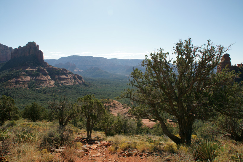
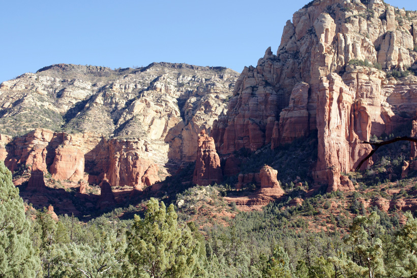
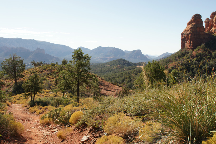
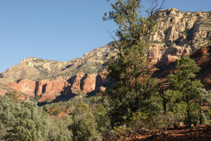
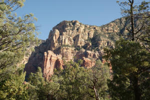
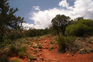
The picture on the right shows Mormon Canyon where Brins Mesa Trail
treks through the canyon and to the top of the mesa.
|
|
|
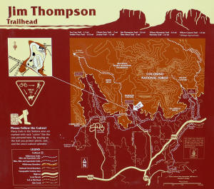
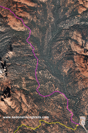
Note: All trail maps are
designed to give the hiker an idea what he/she will encounter.
They are not designed for navigation or to be used as a source of
directions for a hike.
Click on Pictures to Enlarge
|
|
|
|
Trail outlines disappear every 5 seconds.
|
|
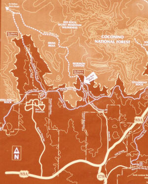
For more information go the the US Forest Service Website :http://www.fs.usda.gov/recarea/coconino/
recreation/hiking/recarea/?recid=55246&actid=50
|
 |
|
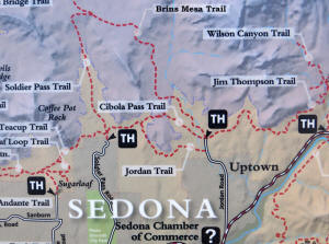
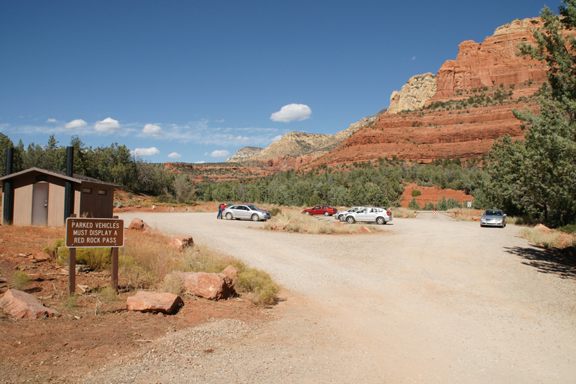
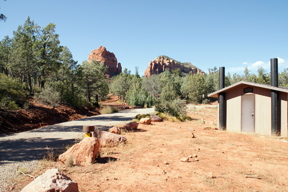
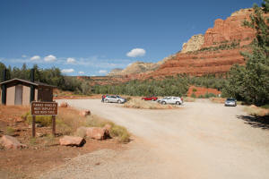
The Brins Mesa parking lot is located at the end
of Jordan Road. The last part of the road is dirt and gravel
but well graded. Jordan Road is off of HWY 89A in downtown
Sedona.
|
|
|
|
 |
|
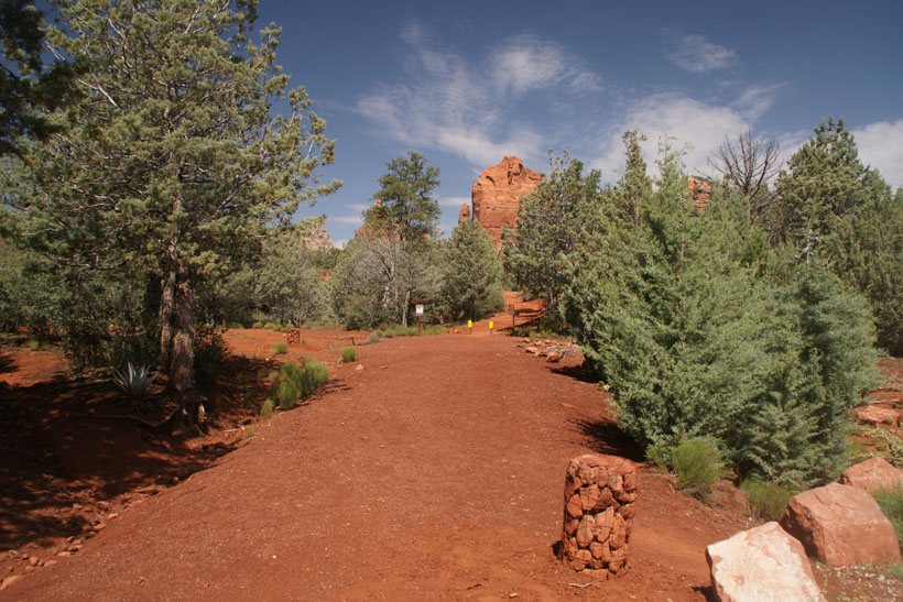
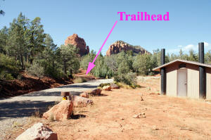
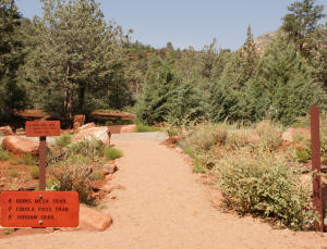
The trailhead leads to three trails.
-
Brins Mesa Trail - Leading straight ahead as
shown in the picture on the right.
-
Jordan Trail - Leading to the left as shown in
the picture on the right.
-
Cibola Pass Trail - Branches to the left at
the beginning of Brins Mesa Trail.
|
|

|
|
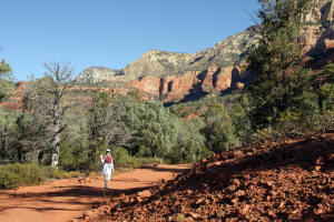
Start of Brins Mesa Trail looking North..
|
|
|
Start of Brins Mesa Trail looking North.
|

|
|
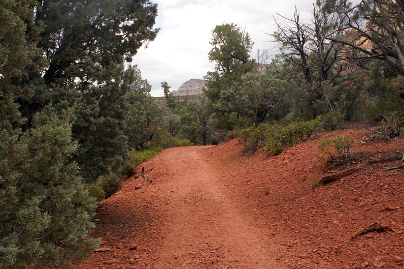
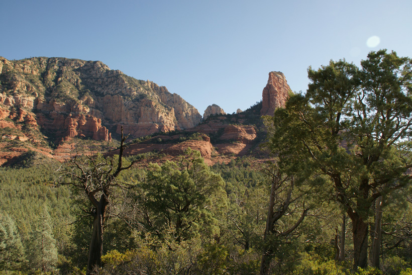
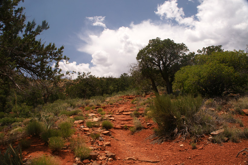
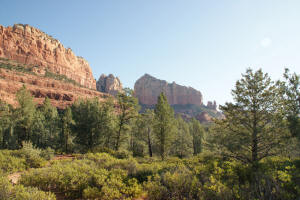
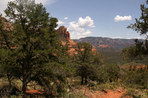
Looking Northeast on lower
Brins Mesa Trail.
|
|
|
Lower Brins Mesa Trail looking East.
|
|
|
Lower Brins Mesa Trail looking
Northeast.
|
|
|
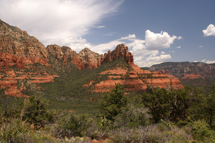
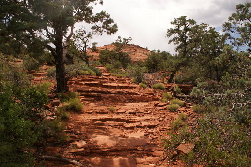
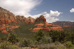
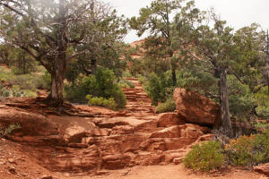
Mid Brins Mesa Trail looking East.
|
|
 |
 |
|
 |
 |
|
Mid Brins Mesa Trail looking
Northeast.
|

|
|
Mid Brins Mesa Trail looking
South.
|
|
|
Mid Brins Mesa Trail looking North.
|
|
|
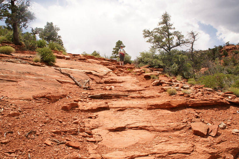
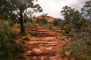
Starting up the steep part of Brins Mesa The trail now ascends approximately 320 feet over 3/4 of a mile. This is as
close as one will come to a natural "Stairmaster".
|
|
|
|
|
|
|

|
|
|
|
|
|
|
|
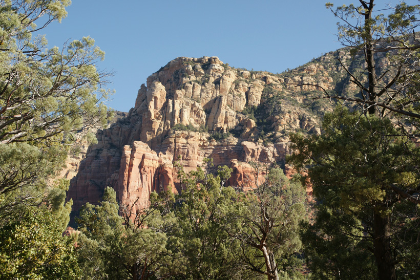
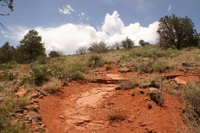
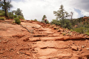
Upper Brins Mesa Trail- Almost to the top.
|

|
|
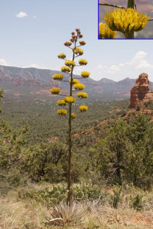
Flowering Agave. This plant lives for
decades and just before it dies, produces a mast with flowers.
|
|
|
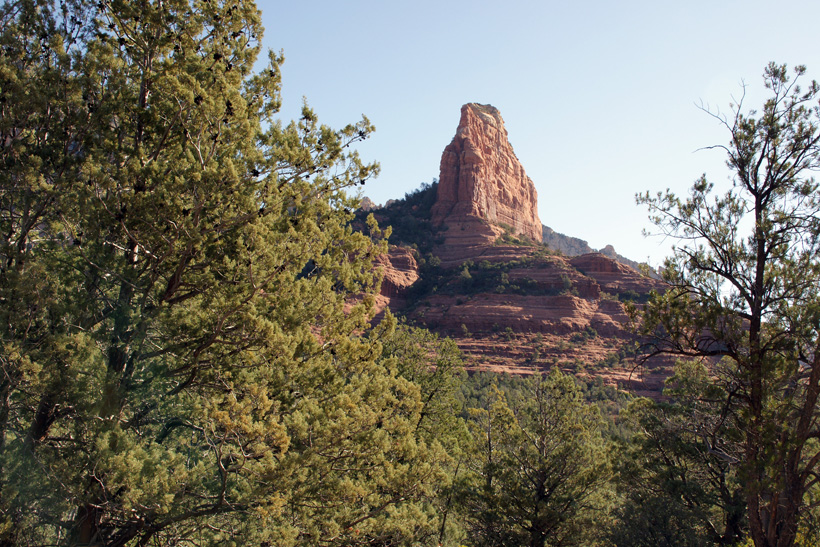
Upper Brins Mesa Trail
looking down.
|
|
|
Upper Brins Mesa Trail looking
down.
|

|
|
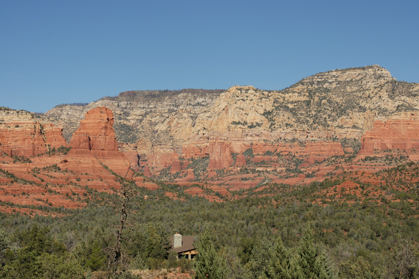
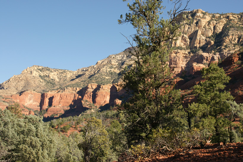
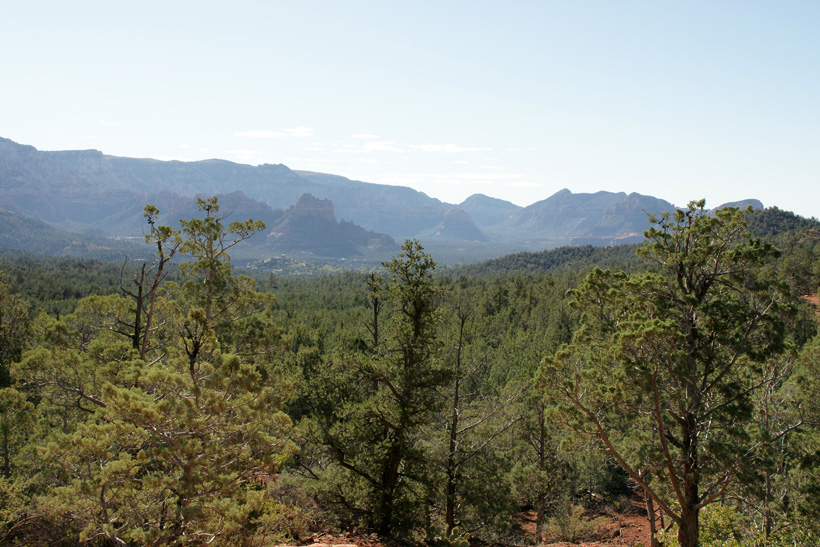
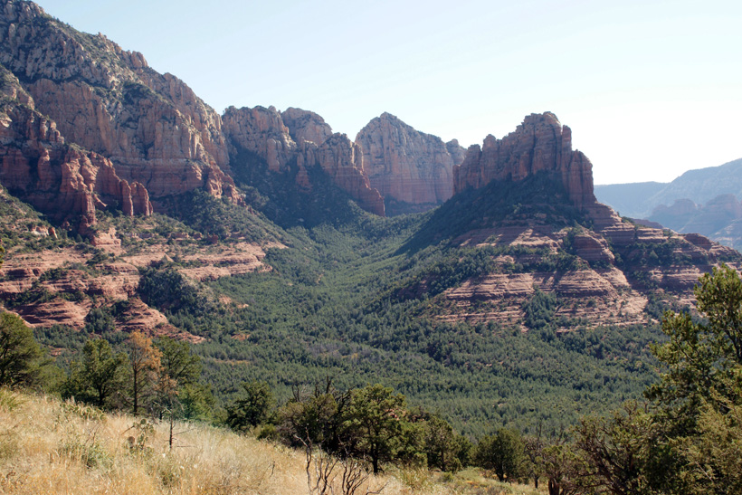
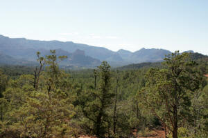
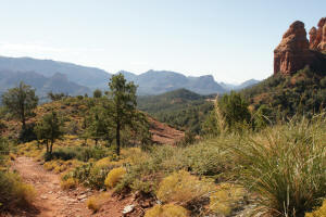
Looking east across Mormon Canyon and viewing
the southern tip of Wilson Mountain.
|

|
|
Continuation of Hike:
Top of Brins Mesa Trail
|