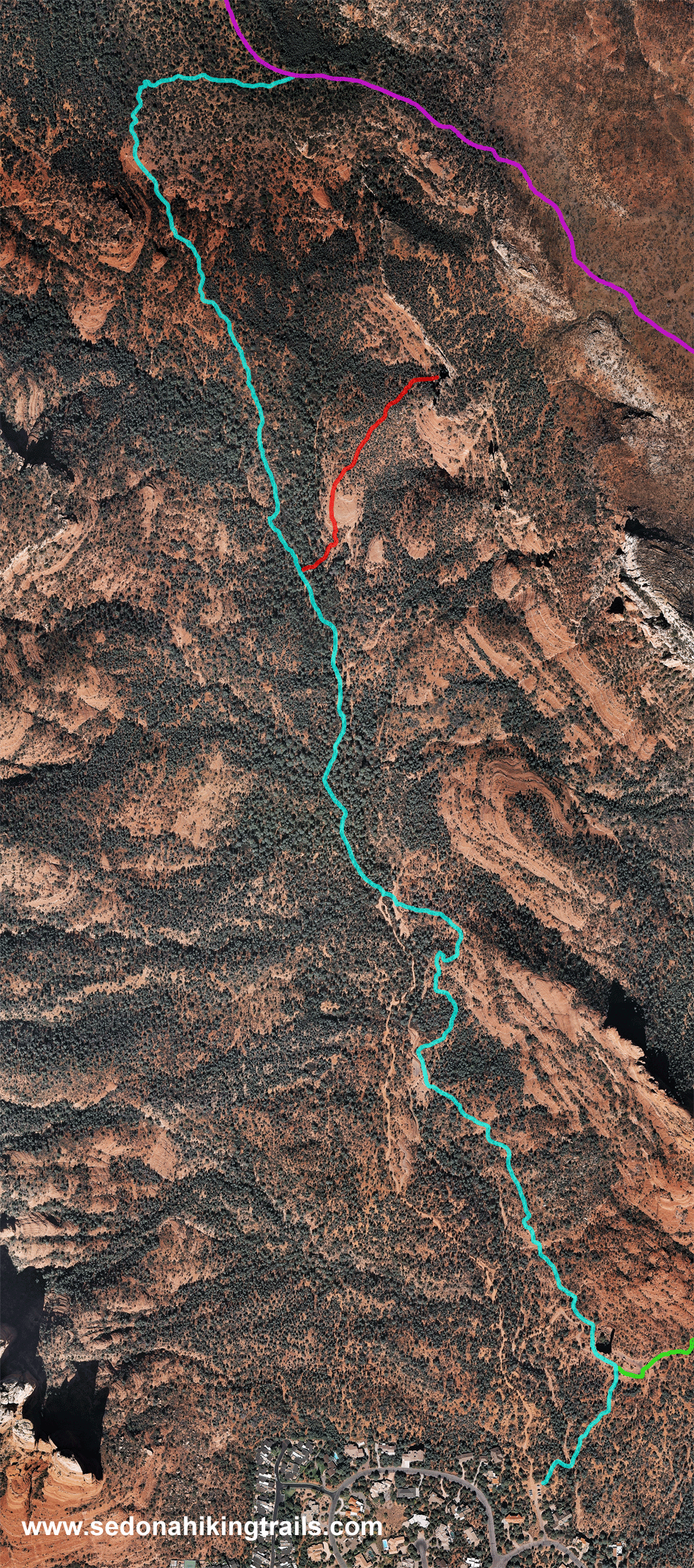
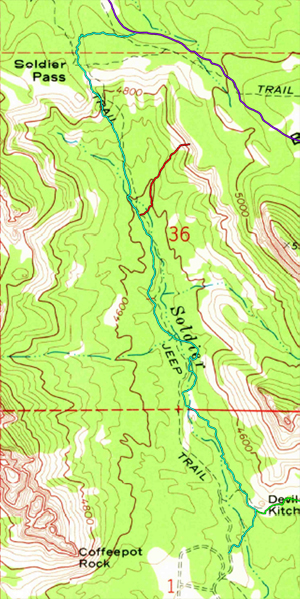
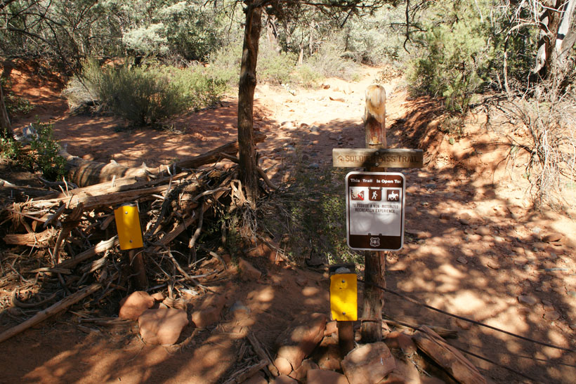
Soldier Pass Trail
Hiking Down (to the South)
|
|
The hike down Soldier Pass to the southern trailhead and parking lot is
approximately two miles. The trail is moderate but easy
when going downhill with a total elevation descent of 450 feet.
The Seven Sacred Pools are encountered in the last
leg of the trail. The trail divides at Sedona's largest
sinkhole, Devils Kitchen Sinkhole, and the Sphinx Rock Formation.
Jordan trail will branch to the left and a short hike (0.2 miles) south leads to
the Soldier Pass parking lot.
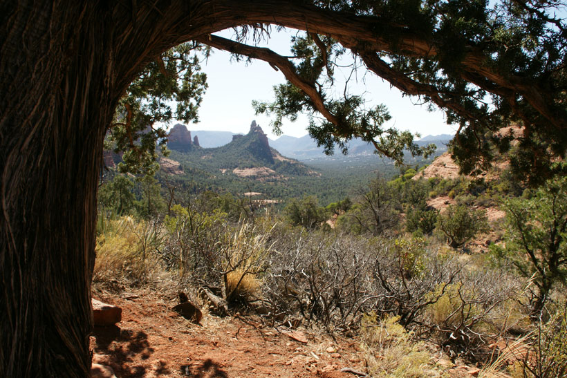
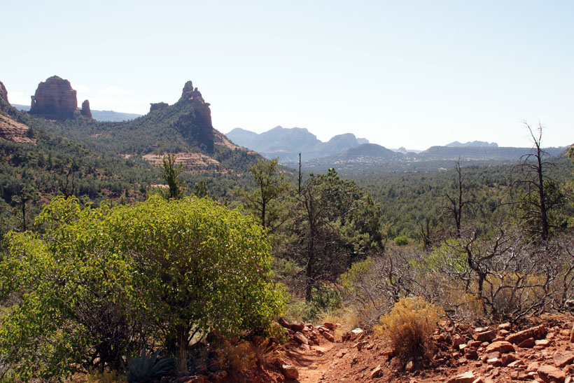
The picture on the upper right shows a view looking
south down Soldier Pass.
|

|
|
Note: All trail maps are
designed to give the hiker an idea what he/she will encounter.
They are not designed for navigation or to be used as a source of
directions for a hike.
For more information go to the U.S. Forest Service Website.
http://www.fs.usda.gov/recarea/coconino/
recreation/hiking/recarea/?recid=55392&actid=50
|
|
|
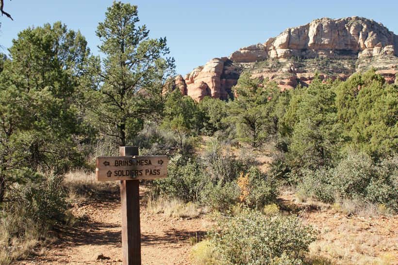
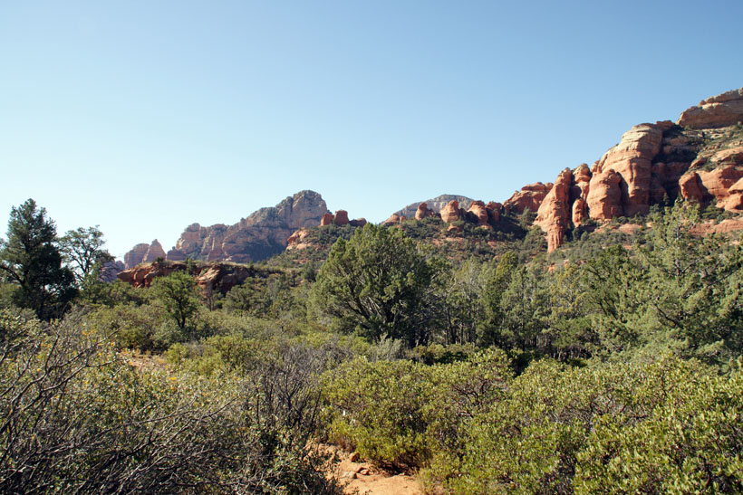
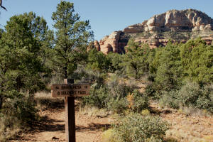
Soldier Pass Northern Trailhead off of
Brins Mesa
Trail.
|
|
|
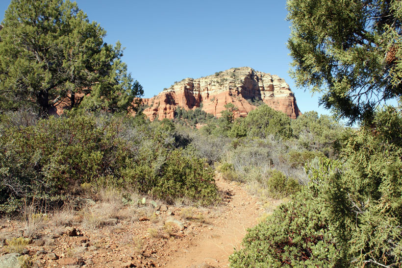
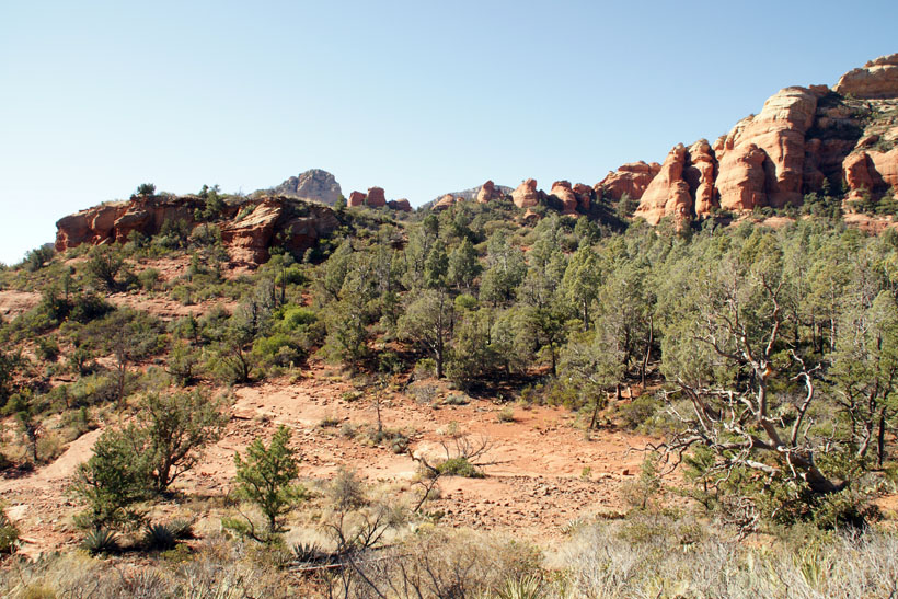
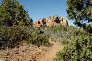
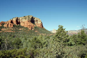
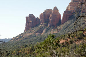
Upper Soldier Pass Trail on
Brins Mesa.
|
|
|
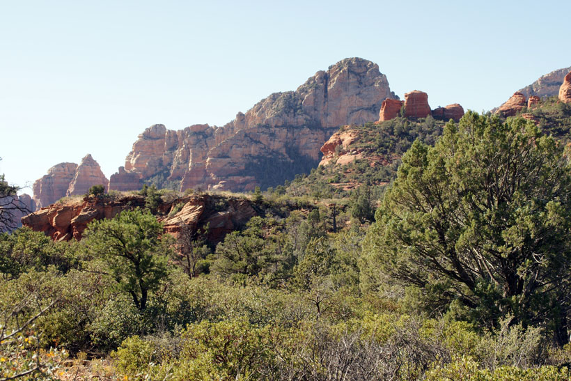
Upper Soldier Pass Trail on Brins Mesa.
looking Southwest.
|
|
|
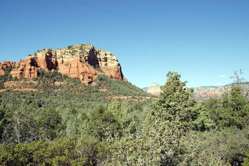
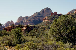
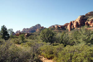
Upper Soldier Pass Trail on Brins Mesa -
looking Northwest
|
|
|
Upper Soldier Pass Trail on Brins Mesa -
looking Southwest
|
|
|
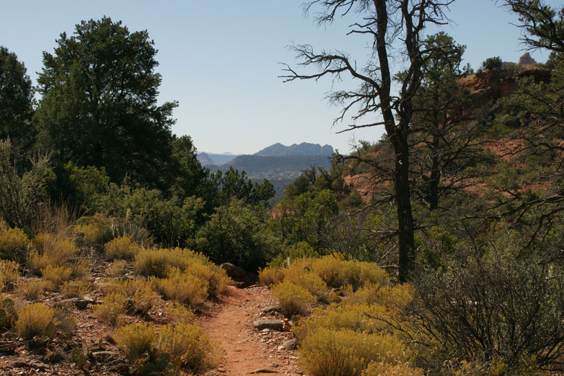
Trail starting down into Soldier Pass.
|

|
|
|
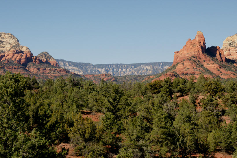
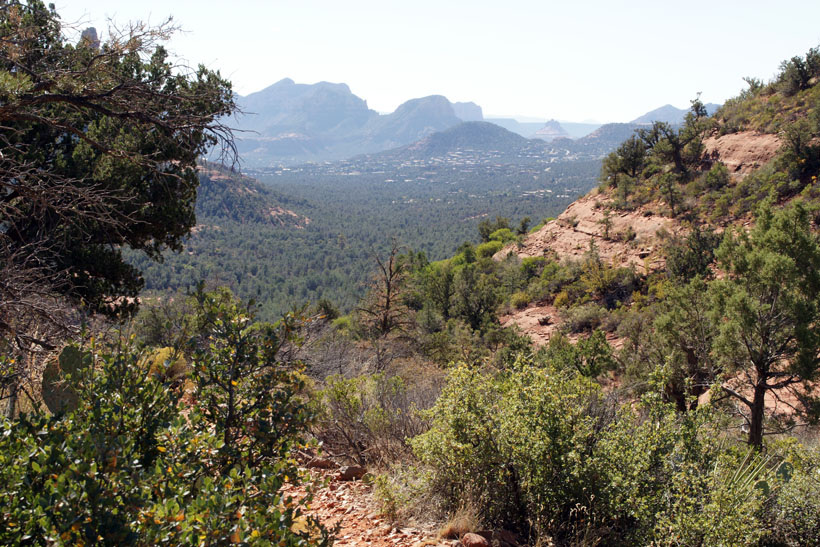
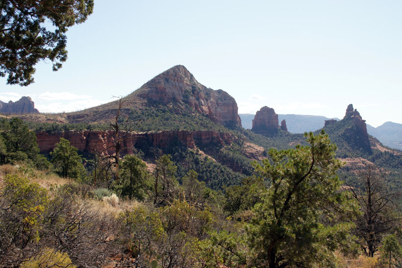
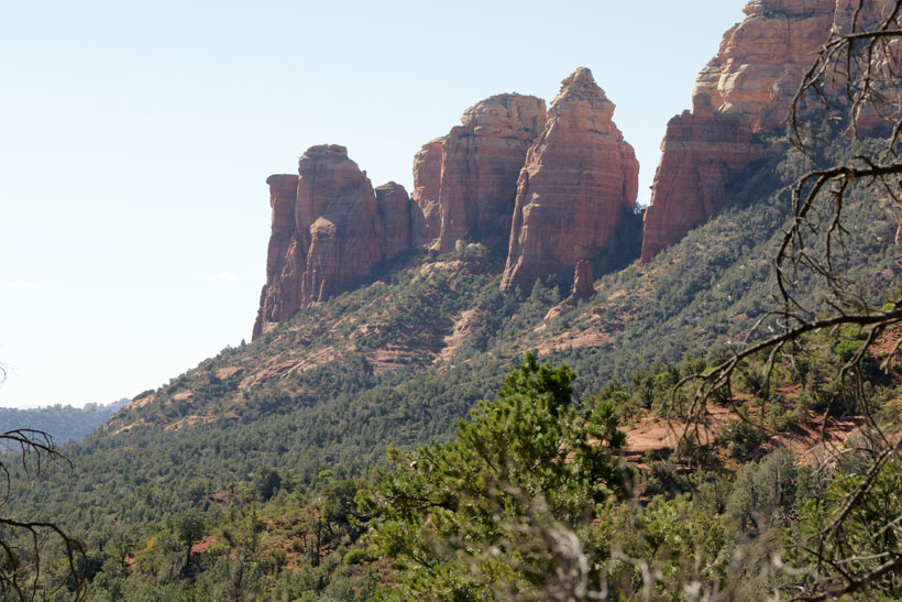
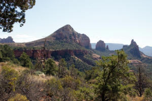
View of Bell Rock from the top of Soldier
Pass Trail. To the right of
Bell Rock is Table Top Mountain on top of
which is the Sedona Airport. Go to
Airport Loop Trail.
|
|
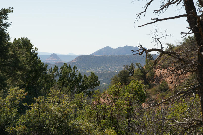
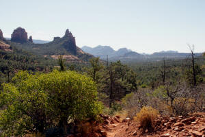
Upper Soldier Pass Trail looking South.
|

|
|
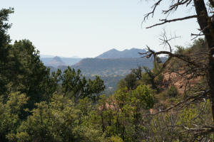
Upper Soldier Pass Trail looking
East.
|
|
|
Upper Soldier Pass Trail looking
South.
|
|
|
Upper Soldier Pass Trail looking
West.
Brins Mesa is on the left side of the horizon.
|
|
|
Upper Soldier Pass Trail looking
South.
|

|
|
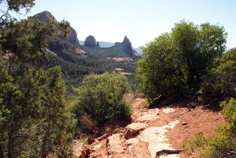
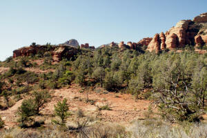
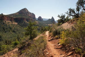
Soldier Pass Trail looking South - West side of
canyon.
|

|
|
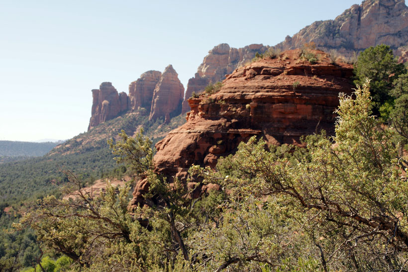
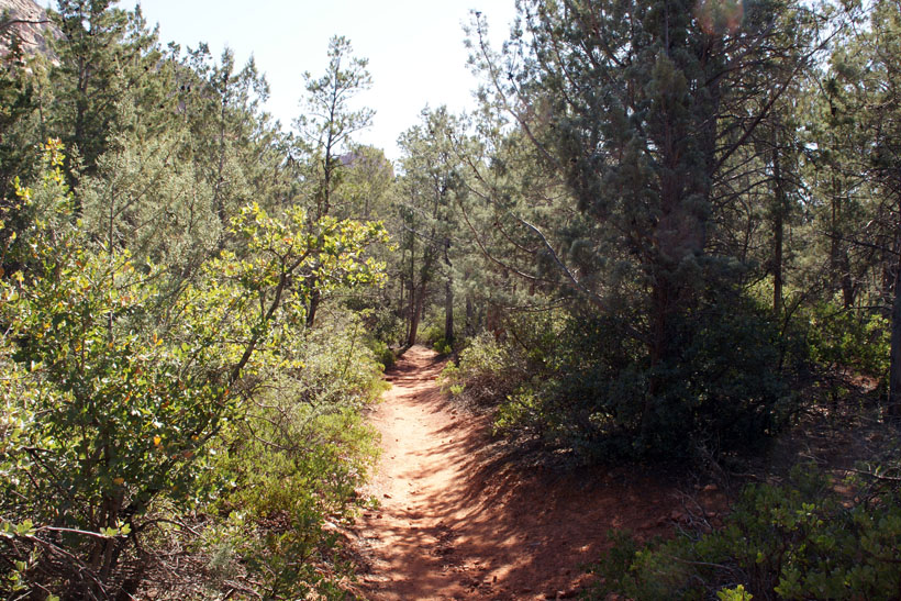
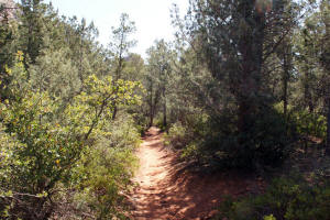
Lower Soldier Pass Trail looking South.
|
|
|
Lower Soldier Pass Trail looking
South - West side
of canyon.
|
|
|
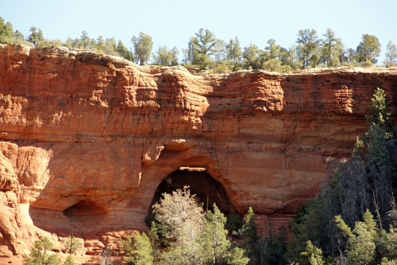
As you hike down the trail you will come to the
wilderness boundary and a fork with a trail going to the right.
This trail will take you to two arches. The main Soldier Pass
Trail goes straight ahead.
Soldier Pass Trail - Looking East at an arch.
Go
to Soldier Pass Arches Trail
|

|
|
Lower Soldier Pass Trail in the canyon.
|
|
|
The picture to the right is looking up Soldier
Pass Trail (In the opposite direction of which we have been
traveling). The trail in this area is a creek bed.
A two cable fence marks the end of the jeep trail. You are a
little over one mile from the Soldier Pass Parking Lot.
From here the trail proceeds in one of two directions. Straight ahead on a Jeep Trail or a footpath the left (East). Both
trails lead to the Seven Sacred Pools.
|

|
|
Continuation of Hike:
Second Leg of Soldier Pass Trail -- Heading South (Down
the Pass)
|