Soldier Pass Arches
|
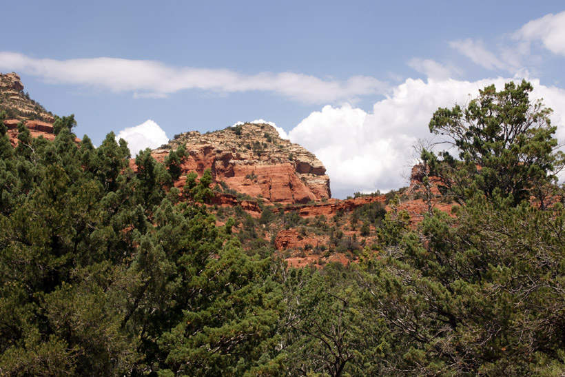
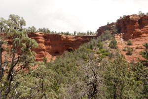
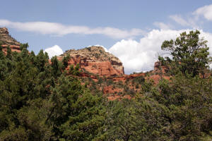
The northern arch of Soldier Pass Arches. If
you see this view, you have traveled too far up (North) the trail
and have passed the Soldier Pass Arches Trailhead.
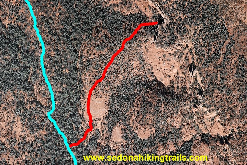
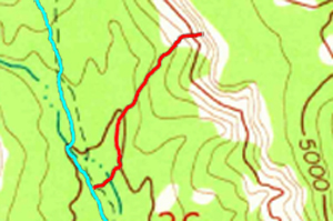
Below is an Aerial view of trail to Soldier Pass
Arches. The trail outlines will disappear every 5 seconds.
|
|
|
|
|
|

|
|
|
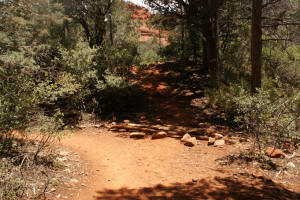
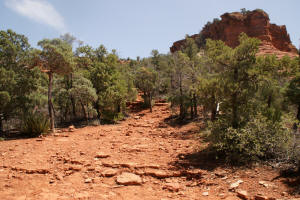
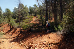
The trail to the Soldier
Pass Arches branches off the main Soldier Pass Trail in the
wilderness area.
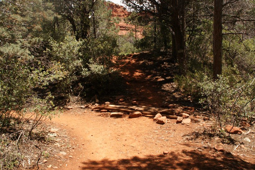
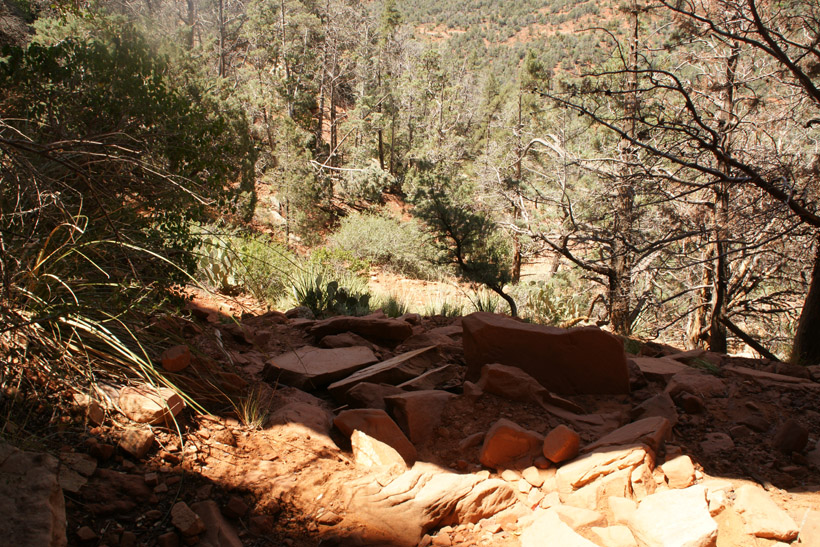
There was a log and rocks blocking the trail (May 2009).
|
|
|
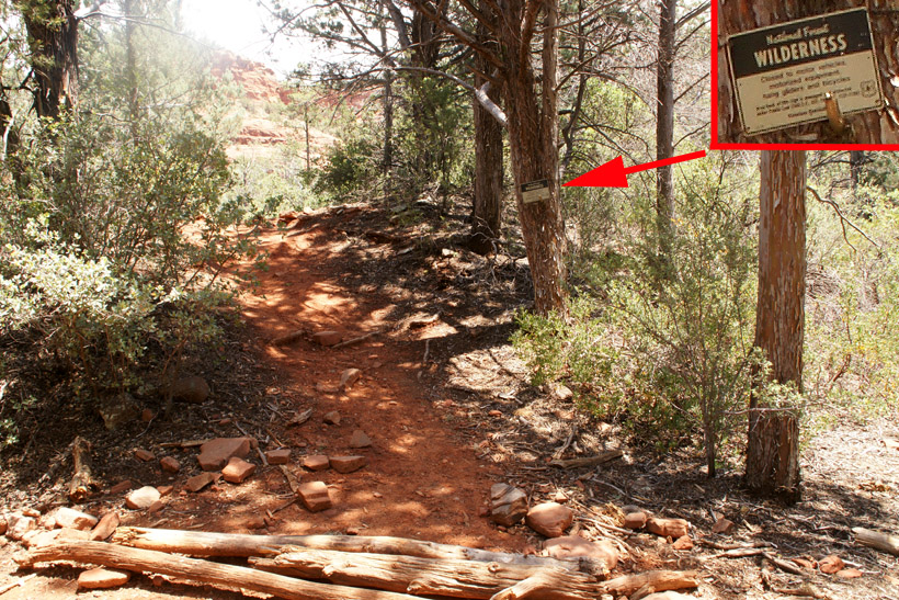
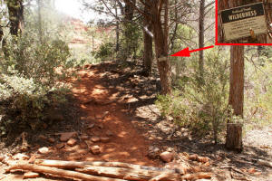
The trail is well formed. Next to the trail
is a "Wilderness Sign" on a tree.
|
|
|
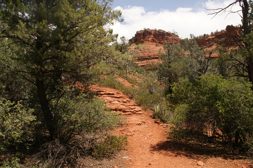
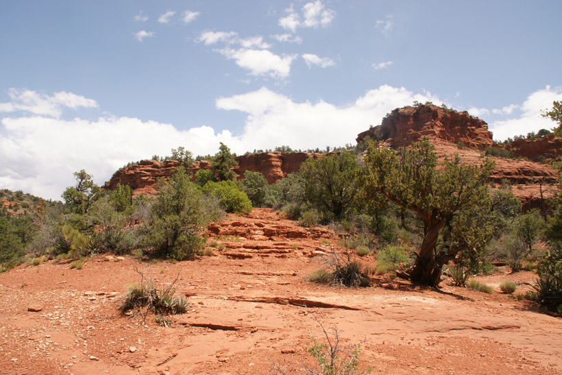
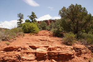
Rock steps take the trail up to a large rock
plateau.
|

|
|
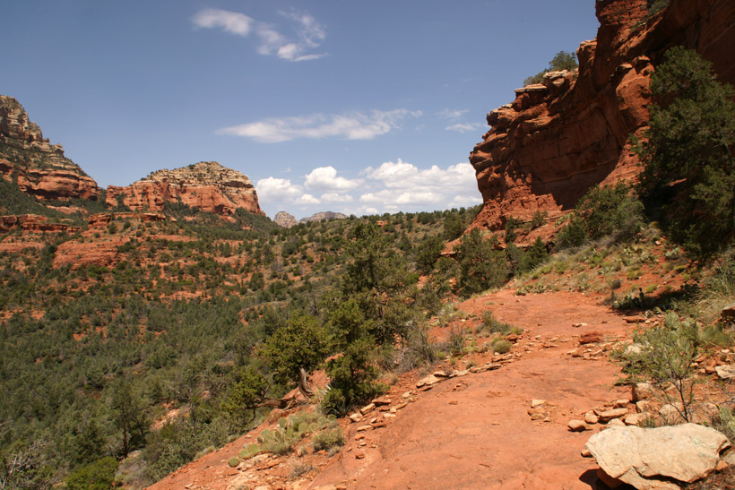
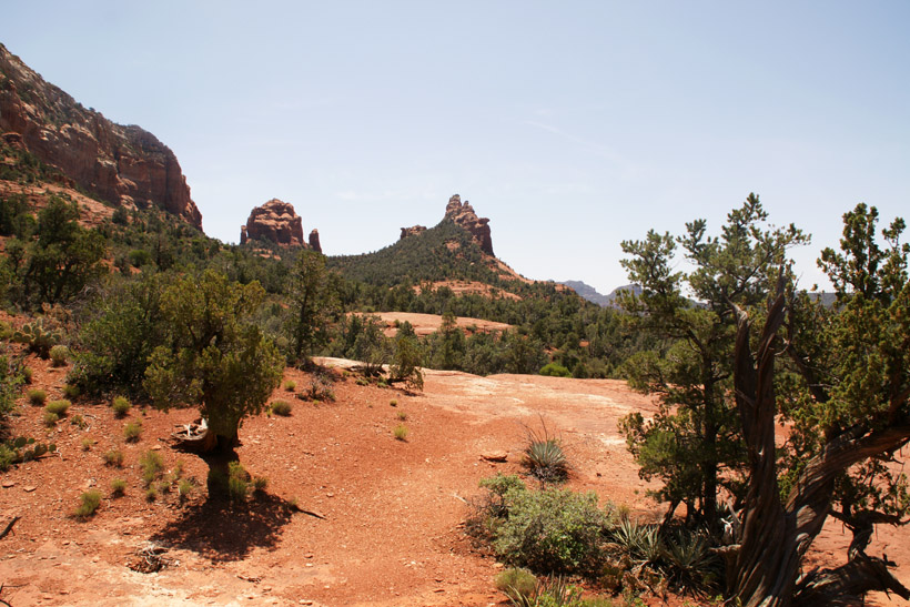
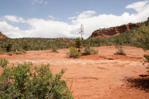
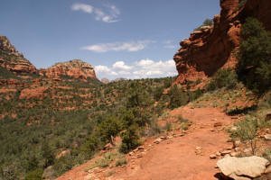
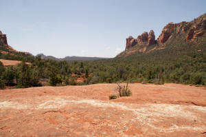
View to the Northwest of the area where Soldier
Pass Trail ascends to Brins Mesa.
|
|
|
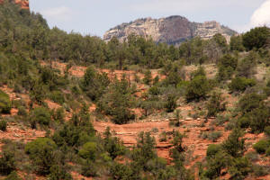
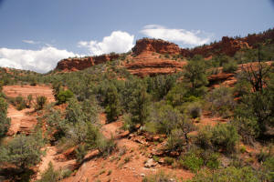
Large rock mesa.
|
|
|
The trail continues in the
Northeast part of the
rock mesa.
|

|
|
The trail leaves the mesa and ascends upwards.
|
|
|
|
|
|
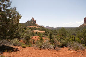
View to the Northwest in the area where Soldier
Pass Trail ascends onto Brins Mesa.
|
|
|
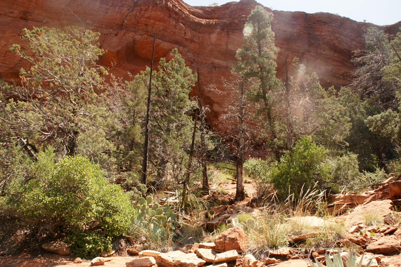
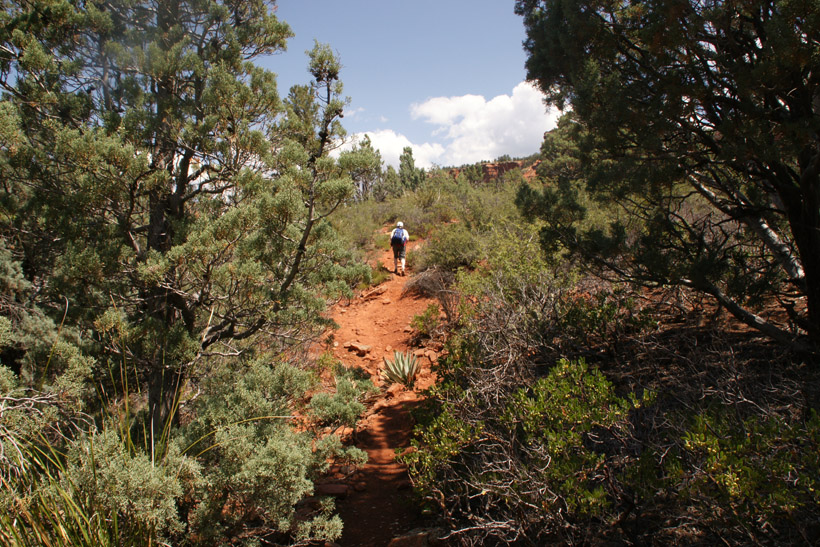
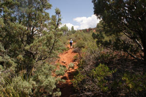
Hiking towards the arches
|
|
|
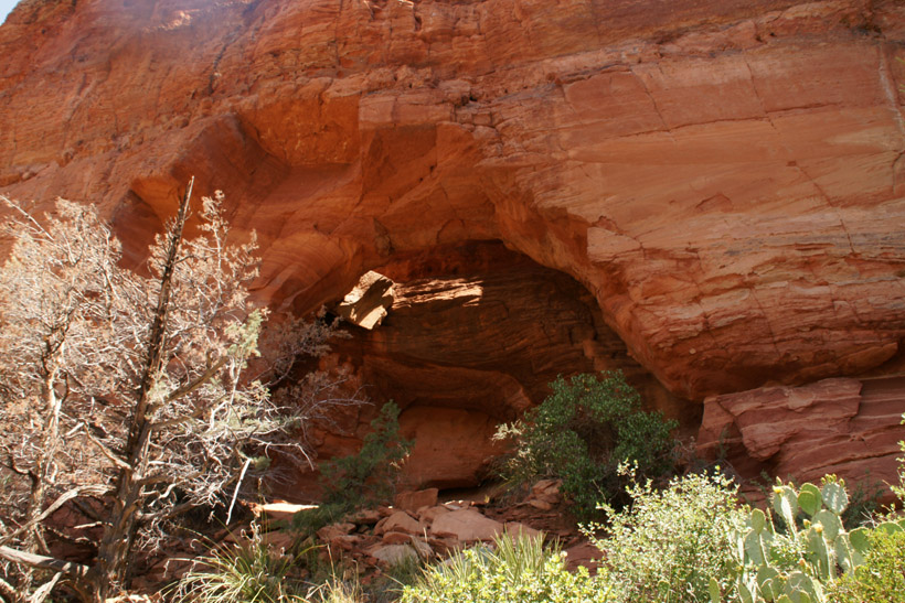
Approaching the arches.
|

|
|
Closeup view of the northern arch.
|

|
|
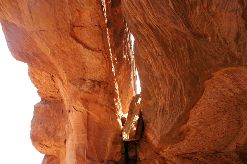
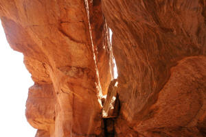
Looking up under the northern arch.
|
|
|
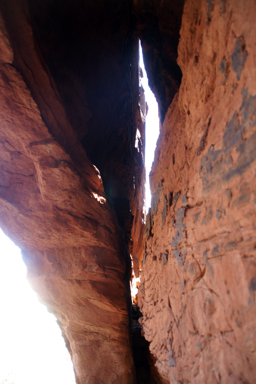
Looking up from under the southern arch.
|

|
|
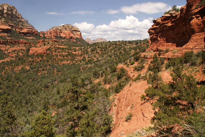
Looking to the Northwest from the northern arch.
|

|
|
Looking down from the southern arch.
|

|
|
A view towards the Southeast over the large rock
mesa.
|
|
|
Heading back (South) over the large rock mesa.
|
|
|
View to the Southeast.
|
|
|
Short trail off the Southwest side of the rock
mesa which links with Soldier Pass Trail.
|
|
|
A side trail also heads up to the arches.
This trail is less well maintained. The trailhead is just
after one crosses the fence in the Soldier Pass Trail which marks the
beginning of the wilderness area. The trail finally ends in
the large rock plateau and one continues to the arches using the
trail off the Northeast end of the mesa.
|
|
|
|
|
|
|
|
|
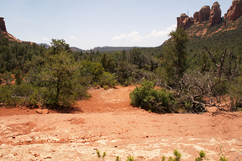
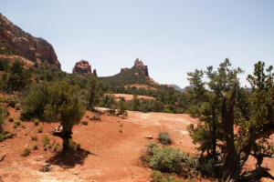
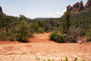
The large rock mesa can be seen in the upper left hand side of the picture.
|
|
|
|