|
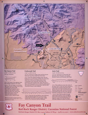
Fay Canyon
Trail
|
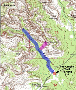
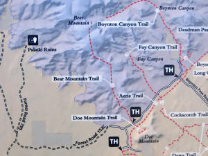
To reach the trailhead of Fay Canyon Trail, take
Dry Creek Road off of 89A in Sedona. Dry Creek
Road ends at a " T " intersection. Turn left
onto Boynton Canyon Road (right leads to Long
Canyon) and travel another 1.5 miles until
another "T" interchange. Turn left on Boynton
Pass Road (right leads to the Enchantment Resort
and Boynton Canyon) and travel another 0.5 miles
to the parking lot on the left. |
|
|
Fay Canyon Trail is an easy trail, 2.2 miles
round trip with a 150 foot elevation.
At the end; the canyon divides. A short climb to
an overlook gives majestic views of Bell Rock in
the distance.
For more information go the the US Forest
Service Website
http://www.fs.usda.gov/recarea/coconino/
recreation/hiking/recarea/?recid=54974&actid=50
Note: All trail maps are
designed to give the hiker an idea what he/she will encounter.
They are not designed for navigation or to be used as a source of
directions for a hike.
|
|
|
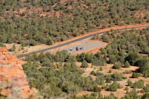
Fay Canyon Trail parking lot
as seen from on top of Doe Mountain.
|
|
|
Fay Canyon.
|
|
|
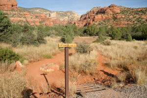
Fay Canyon Trailhead.
|
|
|
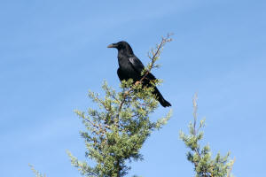
Raven in Fay Canyon.
|
|
|
Beginning of Fay Canyon Trail.
|
|
|
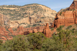
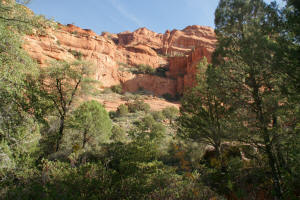
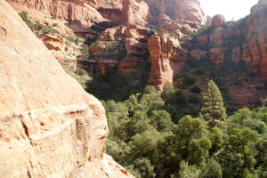
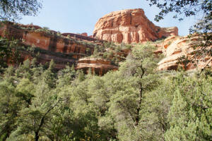
Red Cliffs form the West wall
of the canyon.
|
|
|
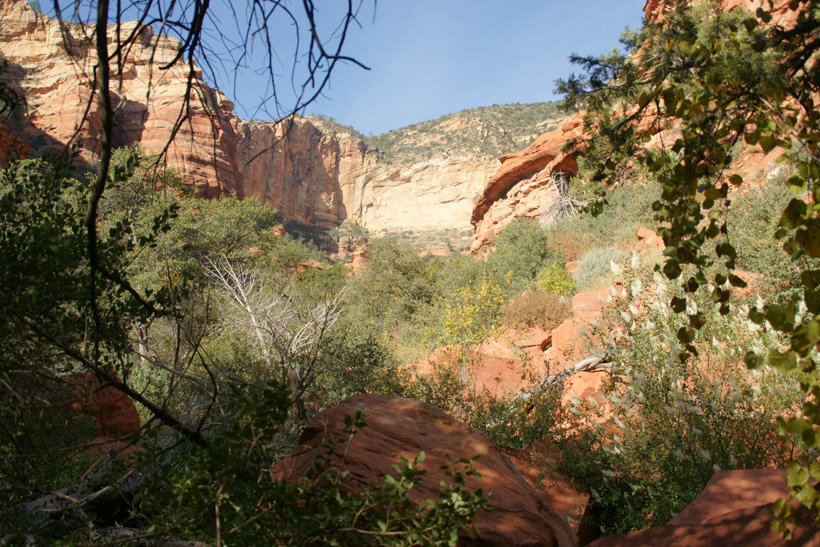
East wall of the canyon.
|
|
|
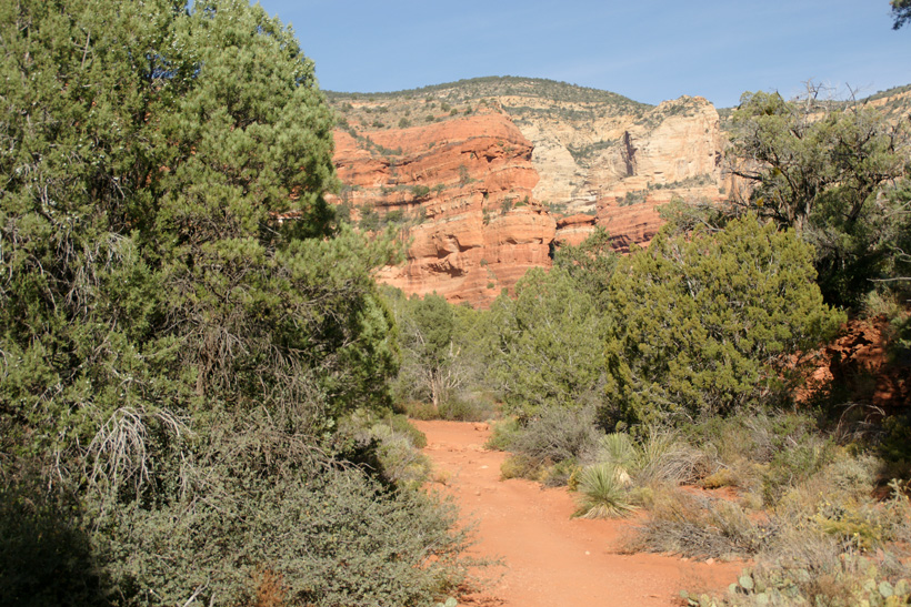
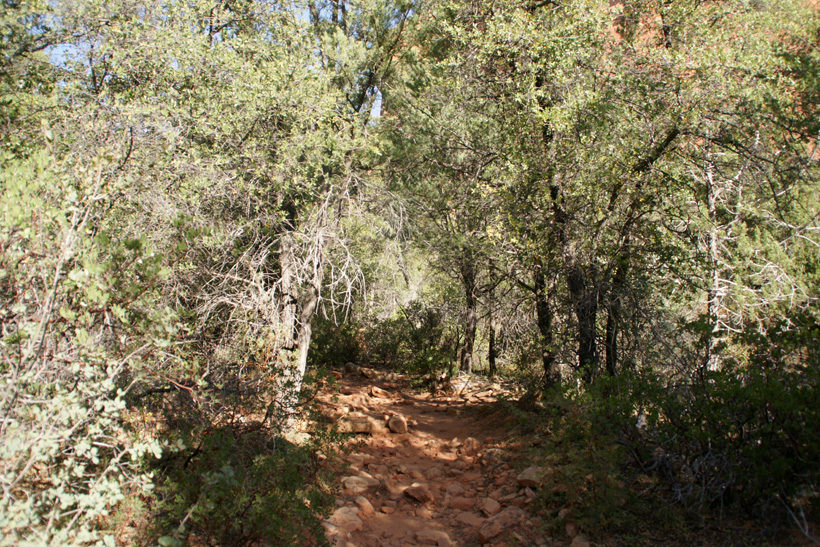
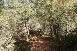
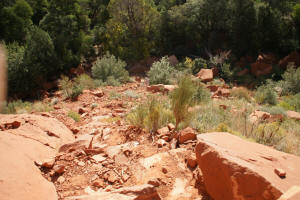
The trail enters a low
deciduous forest.
|
|
|
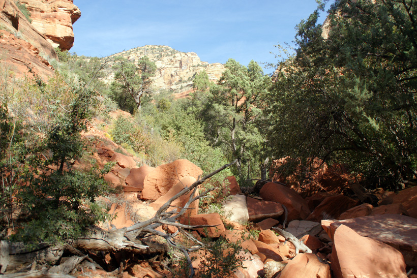
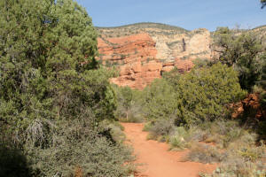
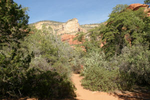
A relatively flat trail leads
deep into the canyon.
|
|
|
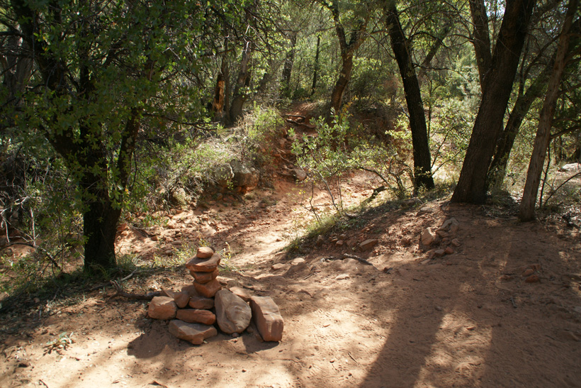
The trail to the
Fay Canyon
Arch traverses a creekbed as it
leaves the Fay Canyon Trail.
|

|
|
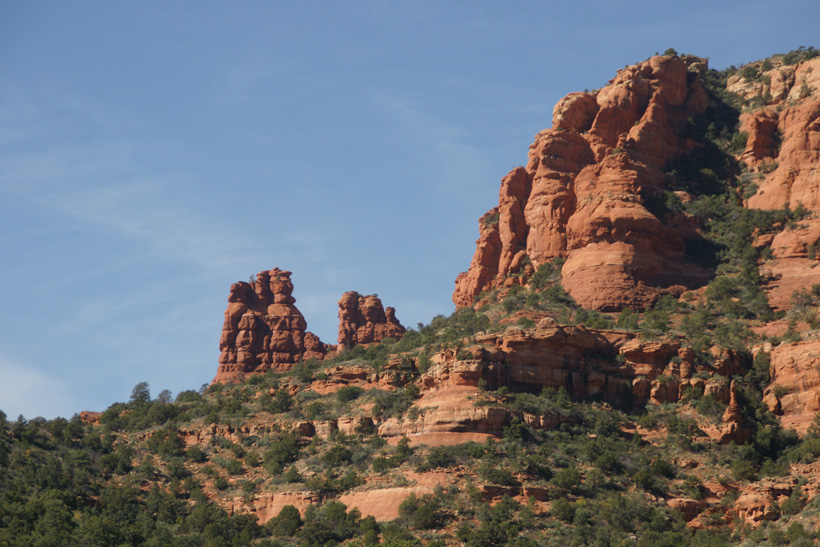
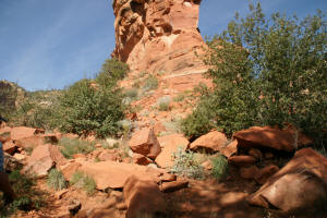
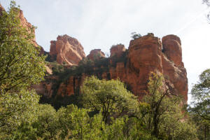
Red cliffs of Fay Canyon.
|
|
|
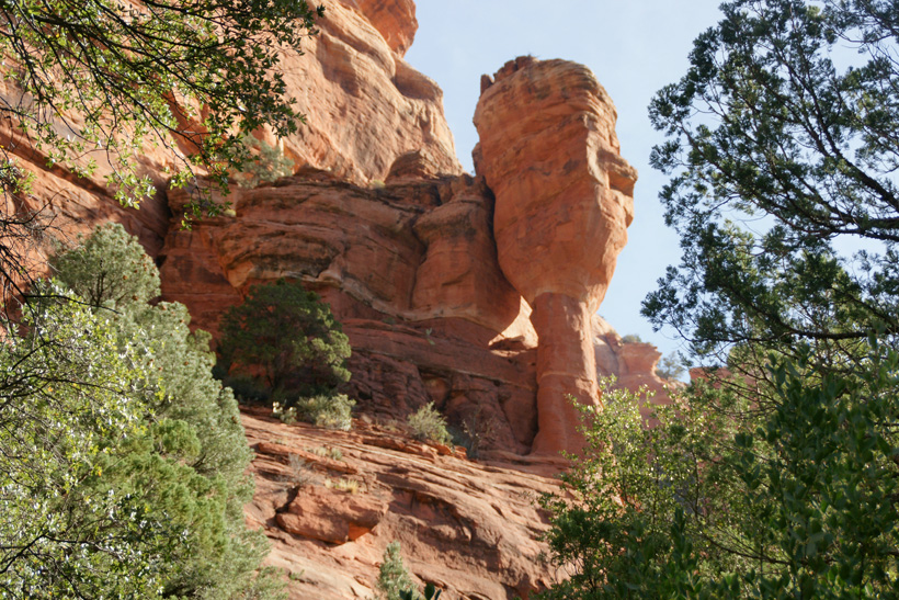
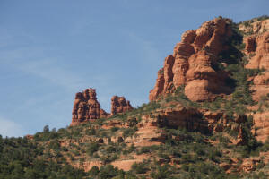
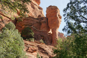
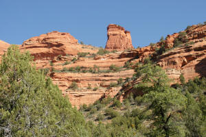
Fay Canyon rock formation.
|
|
|
|
|
|
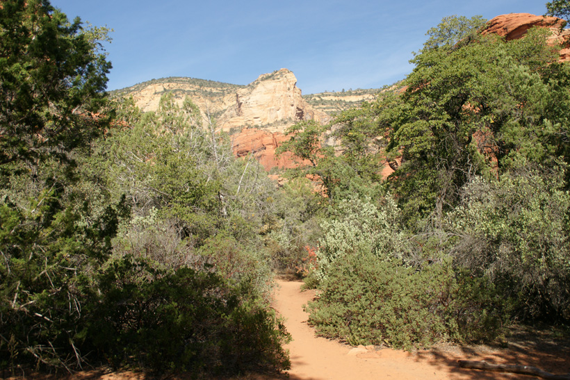
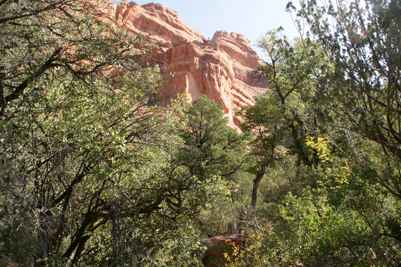
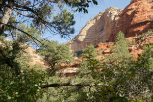
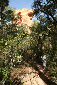
The rock formation at the
trail end can be seen over the tree- tops.
|
|
|
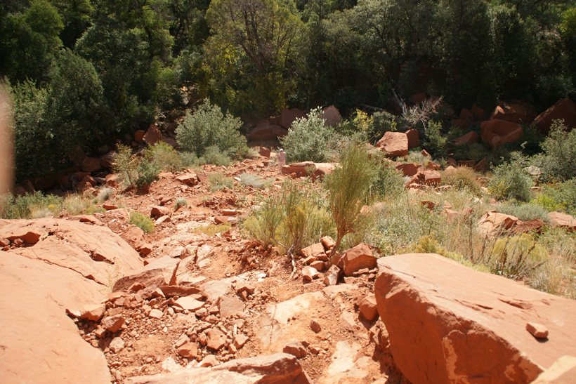
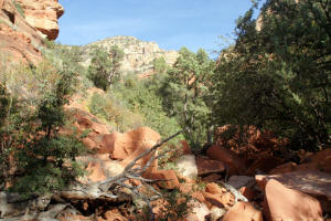
The main Fay Canyon Trail
ends at a rockslide as the canyon divides.
A short climb up this dividing rock formation
affords majestic views of Fay Canyon.
|
|
|
Looking up West Fork of Fay
Canyon.
|
|
|
Looking up North fork of the
canyon. There is a primitive trail which
leads further into this canyon.
|
|
|
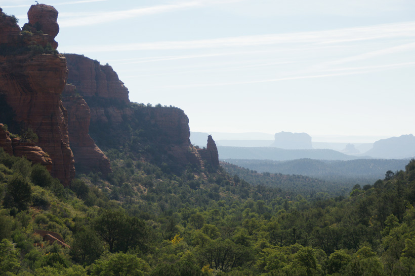
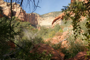
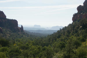
View down Fay Canyon to the
Southeast. Courthouse Butte can be seen in the
distance. The close up pictures below
bring Bell
Rock into view.
|

|
|

|
|
|
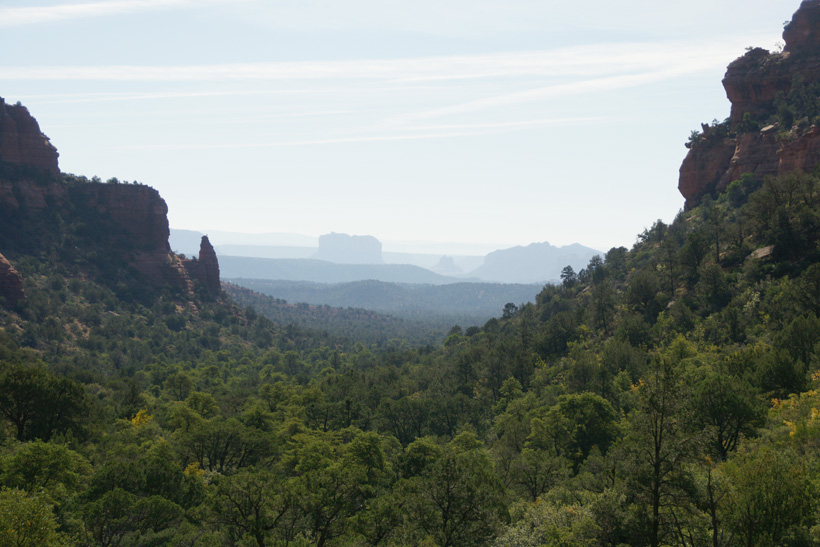
Looking Northeast from Fay
Canyon vista.
|
|
|
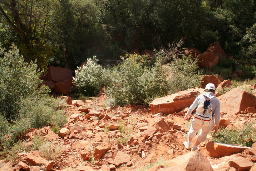
Looking down from Fay Canyon
vista.
|
|
|
Hiking down Fay Canyon vista.
|

|
|
Red cliffs of Fay Canyon.
|
|
|
Fay Canyon - Red Cliffs.
|
|
|
|

|
|
|
|
|
Back to Home Page
|