Cathedral Rock


Return To Home Page
  
Doe Mountain Trail

View from Bear Mountain

Upper Portion of Bear Mountain Trail -- Sedona, AZ    
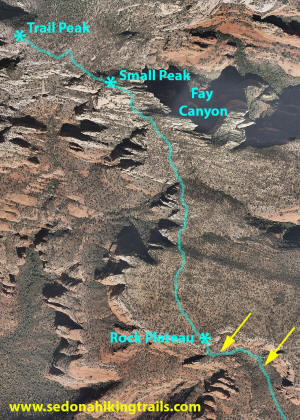
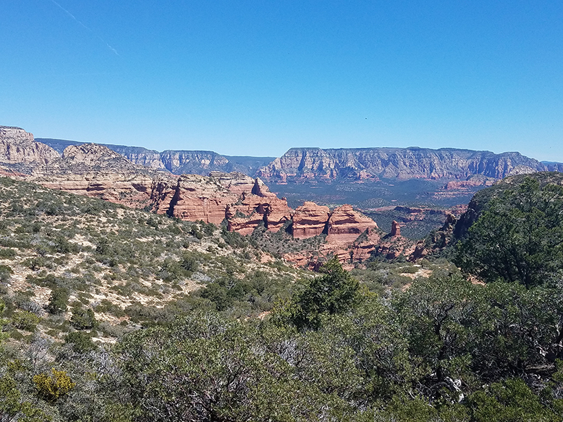
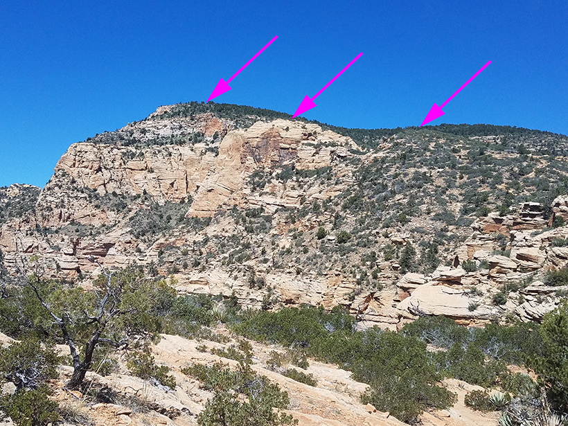
The end  of Bear Mountain Trail is shown above.  The two asterisks are at trail end (Trail Peak) and on a small rise before the final Trail Peak.  The change in elevation to the small peak is 1400 feet.  Fay Canyon is to the east of the small peak (right).  As the hike continues, the hiker climbs another 600 feet with Fay Canyon to the east (right) (the change in elevation is approximately 2000 feet).  The two yellow 
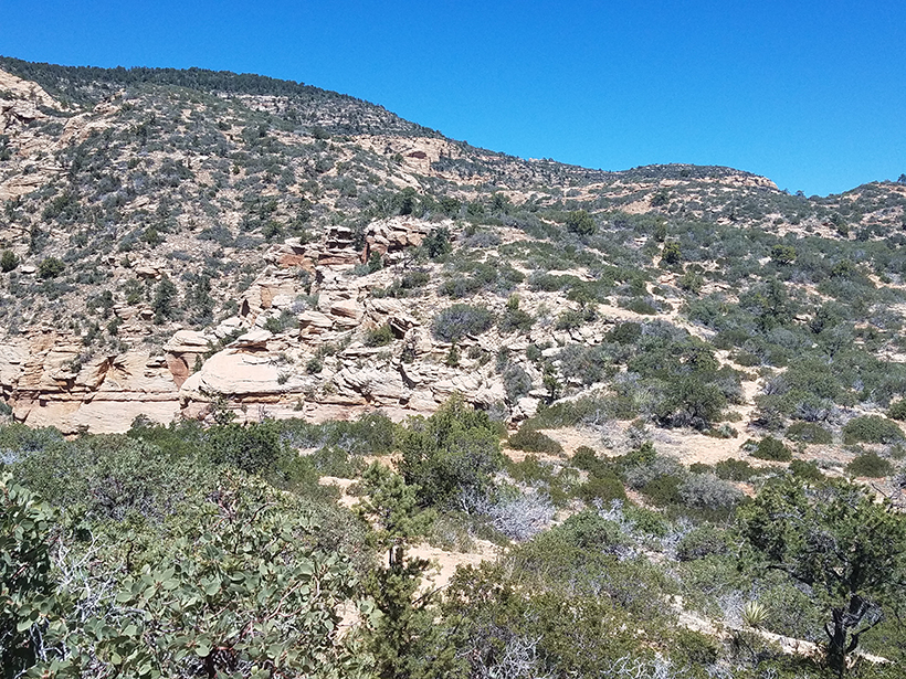
arrows designate the two portions of the trail which have the final two stone steps which need to be traversed.
 

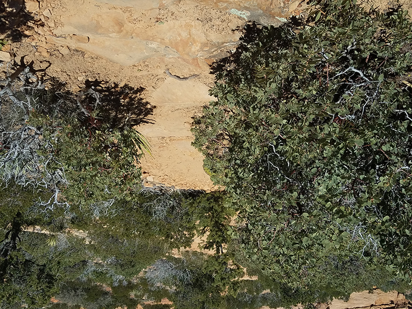
To see an aerial photograph from the trail peak of Bear Mountain to the true peak.  The trail now ends below the secondary peak. -- Click Here  

Click on The Pictures to Enlarge

Trail Map of Doe and Bear Mountain
Click on Trail Map to Enlarge

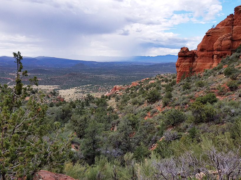
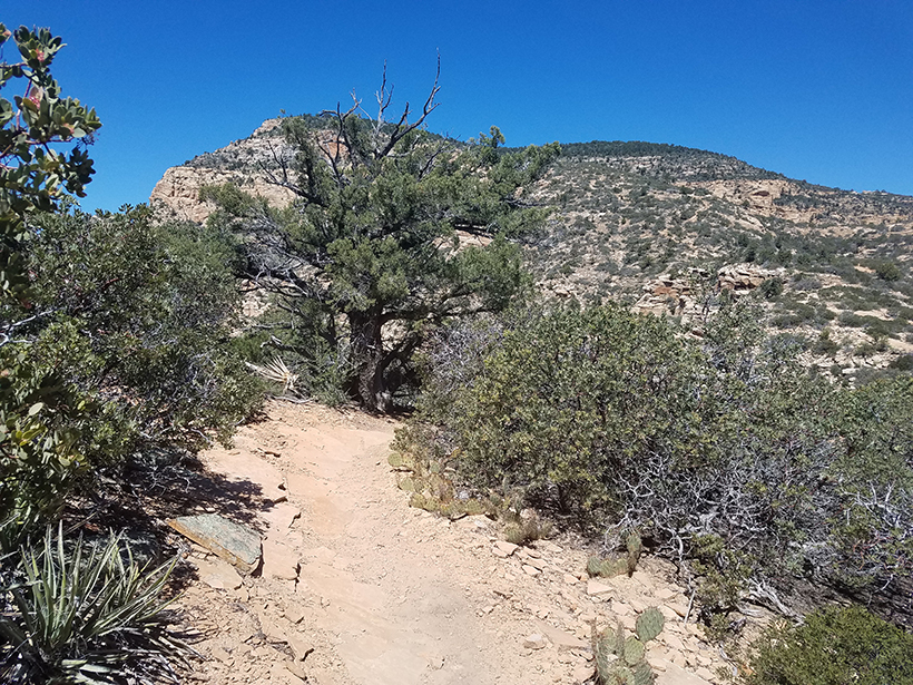
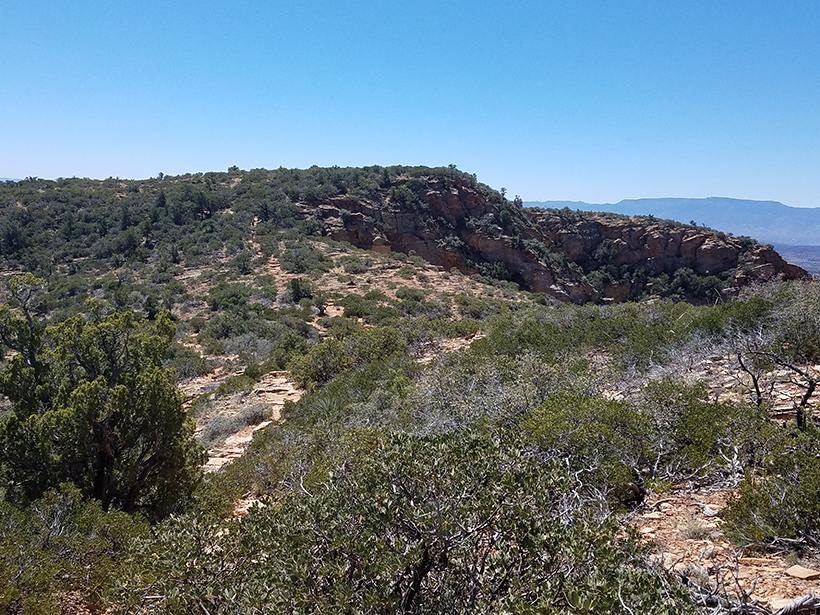
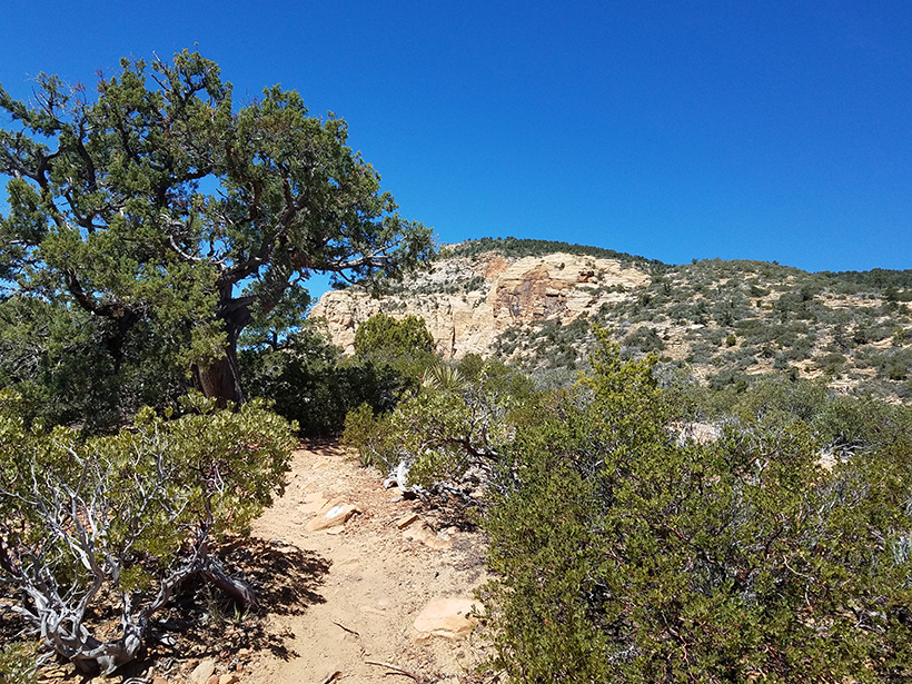
View Below The Last Two Rock Stairways

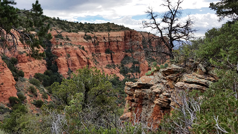
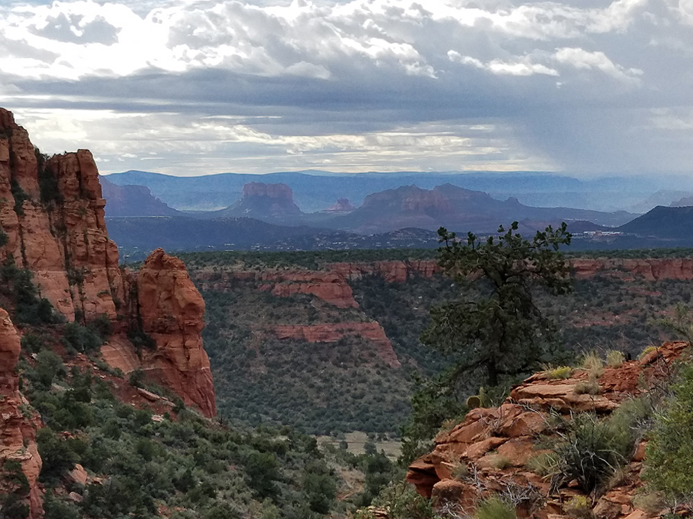
View Above The Last Two Rock Stairways
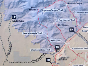


Bear Mountain Trail 
 
 
Section 2:  First Peak To Second Peak


View of Top of the First Trail Peak.

 
Bear Mountain Trail - Section 2 - 201


Bear Mountain Trail - Section 2 - 202
 
Bear Mountain Trail - Section 2 - 203


Bear Mountain Trail - Section 2 - 204

View of the Final Trail Peek (top left red arrow).   The Fourth Trail Peak (middle arrow) and Third Trail Peak (right arrow) can also be seen.  

    Last three peaks of Bear Mountain Trail

View to the Southwest. 

 
Bear Mountain Trail - Section 2 - 206

Gently sloping trail marked with a white trail marker. 

 
Bear Mountain Trail - Section 2 - 207


Bear Mountain Trail - Section 2 - 208

Looking back (East) down the trail. The first trail peak can be seen.  

 
Bear Mountain Trail - Section 2 - 209

The trail reaches the second peak.  

 
Bear Mountain Trail - Section 2 - 2011